Old Maps of Lexa, Arkansas
Explore 25 old maps of Lexa, spanning from 1939 to today. These high-resolution historic maps reveal how streets, neighborhoods, landmarks, and natural features evolved over time — perfect for genealogy, metal detecting, research, and local history exploration.
What you can do with these maps:
- See how Lexa changed over time: Compare historical maps to modern-day views to trace roads, homesites, rail lines & more.
- View detailed metadata: Each map includes creators, publishers, year, scale, and archive source.
- Overlay maps with satellite & LiDAR: Visualize the past alongside modern tools to explore terrain & human change.
- Trusted historical sources: Maps sourced from the USGS, Library of Congress, and other archives.
- Access maps your way: View online, download high-res files, or order prints for personal or research use.
Start exploring old maps of Lexa to uncover forgotten places, hidden landmarks, and the deep history beneath your feet.
Lexa, AR maps
(25)- 1939 Map of Latour, 1944 Print
 1939 Latour1944 Print · USGSPhillips County and the Mississippi Delta are shown here just before the Second World War as a landscape defined by river navigation and rail transport. Researchers can trace the footprints of communities like Helena and find family-named landmarks such as Tate Ldg, Zion Ch, and Flower Chapel Cemetery.2 unique versions available
 - 1940 Map of Marvell, 1942 Print
 1940 Marvell1942 Print · USGSPhillips and Lee counties come alive in the 1940s as a thriving Delta agricultural region centered on Marvell. Researchers can trace old family roots through numerous landmarks like the Rosenwald Sch, Tucker Grove Ch & Cem, and the Missouri Pacific rail line.
 - 1948 Map of Helena
 1948 Helena1948 Print · USGSEastern Arkansas and the Mississippi Delta are captured here just after the war, showing a landscape defined by its great rivers and rail lines. Genealogists can trace family locations near Bemis Plantation, Helena, and smaller rail stops like Wheatley and Moro.
 - 1950 Map of Helena
 1950 Helena1950 Print · USGSMid-century Phillips County and the surrounding Delta region are shown at a peak of rail and river commerce. Genealogists and historians can trace family locations through numerous rural communities like Old Austin, Cotton Plant, and West Helena, or follow the routes of the Missouri Pacific RR across Grand Prairie.2 unique versions available
 - 1955 Map of Latour
 1955 Latour1955 Print · USGSThe riverfront at Helena and West Helena is shown in the mid-fifties, featuring a landscape defined by the Mississippi's shifting bends and flood control projects. Genealogists can locate numerous landmarks including the Walters-Southland Institute and Spring Lake Cem & Ch.
 - 1955 Map of Helena, 1967 Print
 1955 Helena1967 Print · USGSThe Arkansas Delta and Mississippi floodplains are captured here in the mid-fifties, during a period of expanding flood control and rail commerce. Researchers can trace the extensive Chicago Rock Island and Pacific RR lines and locate sites like the Arkansas State College Experimental Rice Farm or Friars Point.2 unique versions available
 - 1956 Map of Marvell, 1957 Print
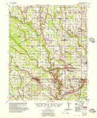 1956 Marvell1957 Print · USGSPhillips County and Lee County farming communities are caught in detail during the mid-fifties, centered on the rail crossroads at Marvell. Genealogists and researchers can trace dozens of country landmarks like Pilgrim Ch Sch & Cem, Neuka Spur, and Schaffhauser Cem.
 - 1959 Map of Helena
 1959 Helena1959 Print · USGSThe Arkansas and Mississippi Delta regions are captured here in the late fifties, showing a landscape defined by the Mississippi River and the Grand Prairie. Genealogists and researchers can trace the rail networks of the Illinois Central RR and locate community landmarks like Helena and the White River National Wildlife Refuge.
 - 1960 Map of Helena
 1960 Helena1960 Print · USGSThe Arkansas and Mississippi Delta regions meet along the great river bends during a period of significant agricultural and rail expansion. Genealogists and historians can trace the paths of the Missouri Pacific railroad through Clarendon or locate landings along the Mississippi River and White River.
 - 1961 Map of Latour, 1965 Print
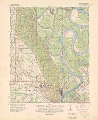
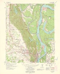
 1961 Latour1965 Print · USGSThe riverfront cities of Helena and West Helena are captured here in the early sixties, showing the vital rail-and-river hub at the edge of the St Francis National Forest. Family historians can locate dozens of rural landmarks, from Lexa and Southland to Mt Olive Ch and Trinity Cem.2 unique versions available
 - 1963 Map of Latour
 1963 Latour1963 Print · USGSPhillips County and the Mississippi River Delta appear here in the early sixties as a thriving network of river-bound commerce and rural communities. Genealogists can locate family landmarks such as Riedy Grove Cem, St Pauls Ch, and the historic industrial center at Helena Crossing.
 - 1971 Map of Lexa, 1973 Print
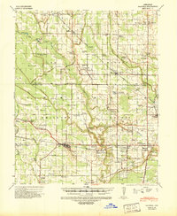
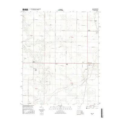
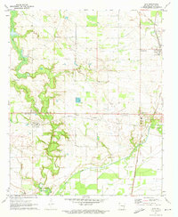 1971 Lexa1973 Print · USGSEastern Phillips County comes to life in the early seventies, centered on the railroad hub at Lexa and the farming communities of the Arkansas delta. Researchers can trace rural church history at St Johns Ch, locate ancestral plots at Mt Gilead Cem, and follow the Old RR Grade through the countryside.2 unique versions available
 - 1982 Map of West Helena
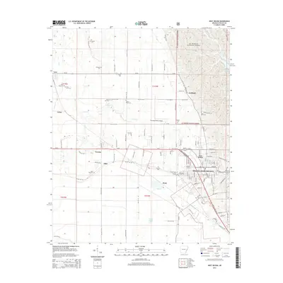
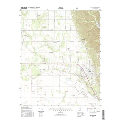
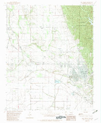 1982 West Helena1982 Print · USGSPhillips County is captured here in the early eighties as the industrial and transit hub of West Helena meets the timbered slopes of the St Francis National Forest. Researchers can locate several rural landmarks including Billingsley Cem, Jackson Chapel Center, and the railroad works at Helena Junction.
 - 1984 Map of Helena, 1985 Print
 1984 Helena1985 Print · USGSThe Delta landscape of Arkansas and Mississippi comes to life in this mid-eighties survey of river bends and ridge settlements. Researchers can trace the rail-and-river economy through Missouri Pacific lines and local landmarks like Whiskey Island or Marianna.
 - 1990 Map of Helena, 1991 Print
 1990 Helena1991 Print · USGSThe Arkansas and Mississippi delta regions meet here in the 1990s, where the great river's oxbows and islands define the state line. Genealogists and historians can trace the rail networks of the Illinois Central Gulf RR and local settlements like Palestine, Marvell, and La Grange.
 - 2011 Map of Lexa, 2011 Print
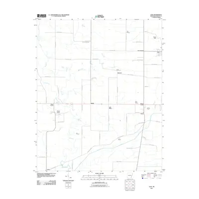 2011 Lexa2011 Print · USGSCovers Lexa, including Kindall, Lexa Junction, and other nearby areas
 - 2011 Map of West Helena, 2011 Print
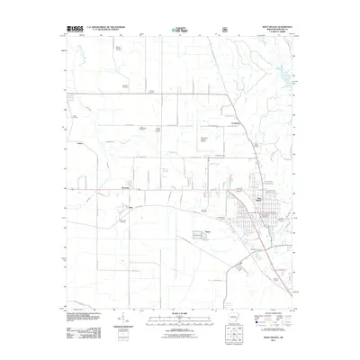 2011 West Helena2011 Print · USGSCovers Lexa, including Helena-West Helena, Wycamp, and other nearby areas
 - 2014 Map of West Helena, 2014 Print
 2014 West Helena2014 Print · USGSCovers Lexa, including Helena-West Helena, Wycamp, and other nearby areas
 - 2014 Map of Lexa, 2014 Print
 2014 Lexa2014 Print · USGSCovers Lexa, including Kindall, Lexa Junction, and other nearby areas
 - 2017 Map of Lexa, 2017 Print
 2017 Lexa2017 Print · USGSCovers Lexa, including Kindall, Lexa Junction, and other nearby areas
 - 2017 Map of West Helena, 2017 Print
 2017 West Helena2017 Print · USGSCovers Lexa, including Helena-West Helena, Wycamp, and other nearby areas
 - 2020 Map of Lexa, 2020 Print
 2020 Lexa2020 Print · USGSCovers Lexa, including Kindall, Lexa Junction, and other nearby areas
 - 2020 Map of West Helena, 2020 Print
 2020 West Helena2020 Print · USGSCovers Lexa, including Helena-West Helena, Wycamp, and other nearby areas
 - 2024 Map of Lexa, 2024 Print
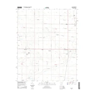
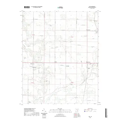
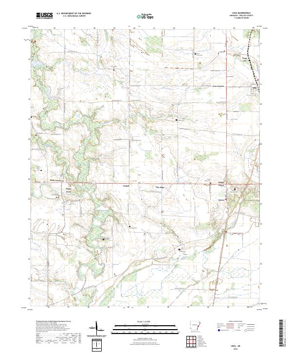 2024 Lexa2024 Print · USGSPhillips County is shown here in its modern agricultural layout, centered on the community of Lexa and its surrounding townships. Genealogists and historians can trace numerous rural burial sites like Saint James Cem and Hollowell Cem or follow the Delta Heritage Trl through Barton.
 - 2024 Map of West Helena, 2024 Print
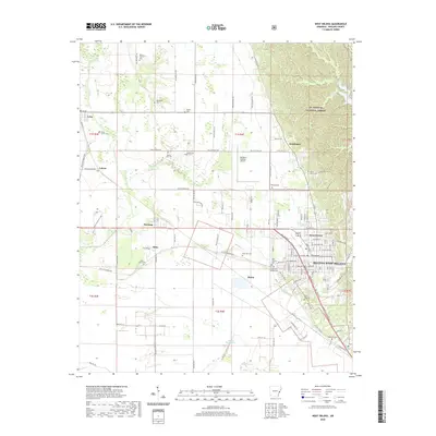
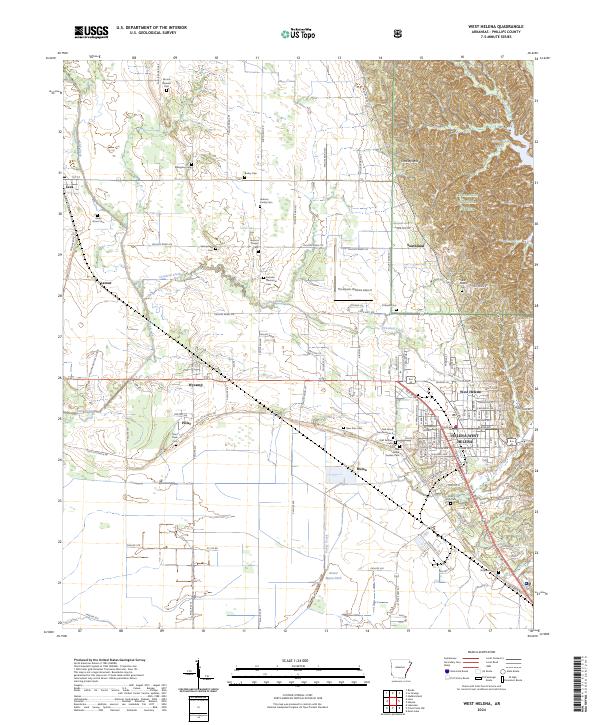 2024 West Helena2024 Print · USGSPhillips County settlements and the transition to the Mississippi alluvial plain are captured here in the mid-2020s. Genealogists can locate family burial sites like Jackson Memorial Cem and Rindy Grove Cem or trace the path of the Delta Heritage Trl.
End of results
Showing maps 1-25 of 25
Top cities near Lexa
- Helena-West Helena historical maps
- Marianna historical maps
- Friars Point historical maps
- Marvell historical maps
- Lake View historical maps
- Rondo historical maps
See more
Frequently asked questions
- What are the different types of historical maps available for Lexa?
- What is the oldest map of Lexa?
- Where can I purchase historical maps of Lexa for my home or office?
- Where can I download high-res historical maps of Lexa?
- Are there historical topographic maps available for Lexa?
- Is there historical aerial imagery available for Lexa?
- Where are historical maps of Lexa sourced from?