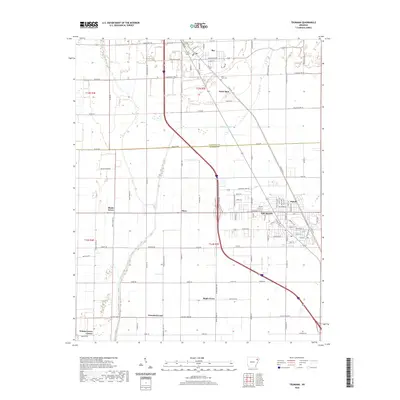
Old Maps of Trumann, Arkansas
Explore 19 old maps of Trumann, spanning from 1940 to today. These high-resolution historic maps reveal how streets, neighborhoods, landmarks, and natural features evolved over time — perfect for genealogy, metal detecting, research, and local history exploration.
What you can do with these maps:
- See how Trumann changed over time: Compare historical maps to modern-day views to trace roads, homesites, rail lines & more.
- View detailed metadata: Each map includes creators, publishers, year, scale, and archive source.
- Overlay maps with satellite & LiDAR: Visualize the past alongside modern tools to explore terrain & human change.
- Trusted historical sources: Maps sourced from the USGS, Library of Congress, and other archives.
- Access maps your way: View online, download high-res files, or order prints for personal or research use.
Start exploring old maps of Trumann to uncover forgotten places, hidden landmarks, and the deep history beneath your feet.
Trumann, AR maps
(19)- 1940 Map of Dee, 1942 Print
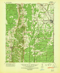 1940 Dee1942 Print · USGSPoinsett County at the start of the 1940s reveals a landscape split between the natural rises of Crowleys Ridge and an expansive system of reclamation drainage. Trace family roots through numerous country schools like Judd Hill Sch or sites like Bolivar Cem.
 - 1941 Map of Marked Tree, 1946 Print
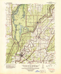 1941 Marked Tree1946 Print · USGSPoinsett County at the start of the 1940s reveals a landscape of massive drainage projects and river engineering. Trace the early footprints of Marked Tree and Lepanto alongside rural landmarks like Frys Mill, Pilgrims Rest Ch, and the Spear Lake Sch & Cem.2 unique versions available
 - 1953 Map of Memphis, 1966 Print
 1953 Memphis1966 Print · USGSEastern Arkansas and the Memphis riverfront are shown here during the mid-century period of regional growth and river management. Local historians can trace the paths of the Chicago Rock Island & Pacific RR through Forrest City or locate river landmarks like President's Island.3 unique versions available
 - 1956 Map of Marked Tree
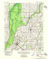 1956 Marked Tree1956 Print · USGSThe Arkansas Delta comes into focus in the mid-1950s as drainage projects transformed the Sunk Lands for agriculture. Researchers can trace the junction of the St Louis Southwestern RR and locate local landmarks like the Hatchie Coon Hunting Lodge and Nichols Cem.2 unique versions available
 - 1956 Map of Memphis
 1956 Memphis1956 Print · USGSThe Mississippi Delta and the bluffs of West Tennessee meet in the mid-fifties, showing a landscape defined by massive river systems and rail hubs. Researchers can trace the path of Crowleys Ridge or locate vanished river landings near Centennial Island and Island No 35.
 - 1958 Map of Dee
 1958 Dee1958 Print · USGSThe Poinsett County lowlands and the elevation of Crowleys Ridge are captured here in the late fifties as the regional drainage network reached maturity. Genealogists and local historians can trace family locations near Stacy Store, Bolivar Ch & Cem, and the timber hub of Trumann.
 - 1983 Map of Trumann, 1984 Print
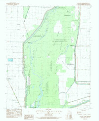
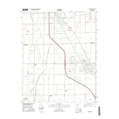
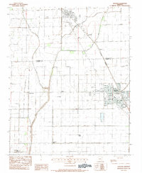 1983 Trumann1984 Print · USGSThe Poinsett County delta country is captured here in the early eighties, showing the agricultural engine of the region. Genealogists and local historians can locate smaller communities like Shady Grove, Promised Land, and the rural St Pauls Cem near Bay.
 - 1983 Map of Hatchie Coon, 1984 Print
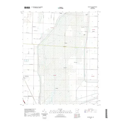
 1983 Hatchie Coon1984 Print · USGSThe sunken lands of Poinsett County are captured here in the early 1980s, showing a transition between wild river bottomlands and industrial agriculture. Genealogists can locate family landmarks like Wilson Cem, Elm Grove Ch, and the river community of Hatchie Coon.
 - 1986 Map of Jonesboro
 1986 Jonesboro1986 Print · USGSNortheast Arkansas in the mid-eighties shows a landscape of intensive drainage and railroad junctions centered on the rise of Crowley's Ridge. Researchers can trace the rail corridors of the St Louis Southwestern Railway and explore the unique geography of Hatchie Coon Island and the Mississippi River floodplain.2 unique versions available
 - 2011 Map of Trumann, 2011 Print
 2011 Trumann2011 Print · USGSCovers Trumann, including Bay, Davis Spur, and other nearby areas
 - 2011 Map of Hatchie Coon, 2011 Print
 2011 Hatchie Coon2011 Print · USGSCovers Trumann, including Longwill, Donnick, and other nearby areas
 - 2014 Map of Hatchie Coon, 2014 Print
 2014 Hatchie Coon2014 Print · USGSCovers Trumann, including Longwill, Donnick, and other nearby areas
 - 2014 Map of Trumann, 2014 Print
 2014 Trumann2014 Print · USGSCovers Trumann, including Bay, Davis Spur, and other nearby areas
 - 2017 Map of Hatchie Coon, 2017 Print
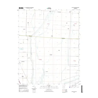
 2017 Hatchie Coon2017 Print · USGSCovers Trumann, including Longwill, Donnick, and other nearby areas
 - 2017 Map of Trumann, 2017 Print
 2017 Trumann2017 Print · USGSCovers Trumann, including Bay, Davis Spur, and other nearby areas
 - 2020 Map of Hatchie Coon, 2020 Print
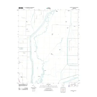
 2020 Hatchie Coon2020 Print · USGSCovers Trumann, including Longwill, Donnick, and other nearby areas
 - 2020 Map of Trumann, 2020 Print
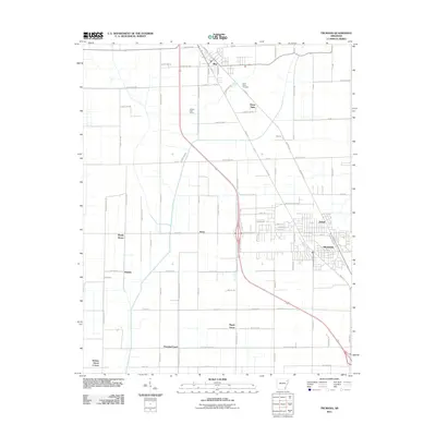
 2020 Trumann2020 Print · USGSCovers Trumann, including Bay, Davis Spur, and other nearby areas
 - 2024 Map of Trumann, 2024 Print
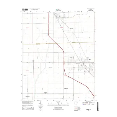
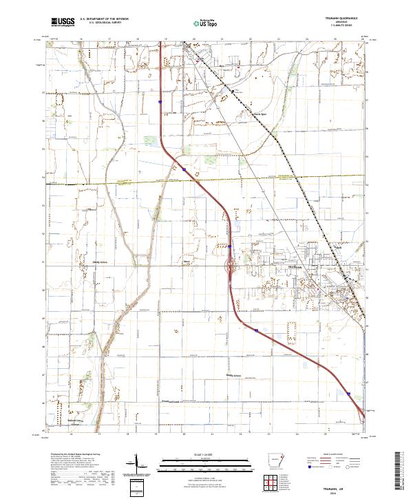 2024 Trumann2024 Print · USGSPoinsett County at the present day reveals a landscape deeply shaped by drainage engineering and the rail corridor. You can trace the layout of Trumann and locate smaller legacy sites such as Saint Pauls Cem, Stacy, and Dobell.
 - 2024 Map of Hatchie Coon, 2024 Print
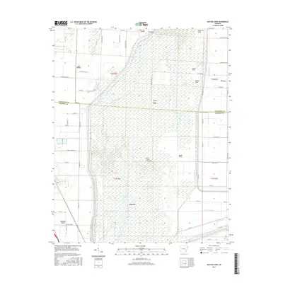
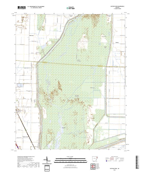 2024 Hatchie Coon2024 Print · USGSThe Arkansas Delta's unique bottomlands are on full display here in the early twenty-first century, centered on the seismic depressions of the Saint Francis Sunk Lands. Researchers can trace the drainage patterns and isolated settlements like Hatchie Coon, Donnick, and the namesake Hatchie Coon Lake.
End of results
Showing maps 1-19 of 19
Top cities near Trumann
- Jonesboro historical maps
- Marked Tree historical maps
- Harrisburg historical maps
- Lake City historical maps
- Bay historical maps
- Lepanto historical maps
See more
Top neighborhoods of Trumann
Frequently asked questions
- What are the different types of historical maps available for Trumann?
- What is the oldest map of Trumann?
- Where can I purchase historical maps of Trumann for my home or office?
- Where can I download high-res historical maps of Trumann?
- Are there historical topographic maps available for Trumann?
- Is there historical aerial imagery available for Trumann?
- Where are historical maps of Trumann sourced from?