2020s Maps of Trumann, Arkansas
Explore 4 historic maps of Trumann from the 2020s. These maps offer a rare glimpse into what life looked like during the 2020s — showing old roads, neighborhoods, homes, and landmarks that have changed or disappeared over time.
Whether you're researching your family's past, planning a metal detecting trip, or studying how Trumann's landscape evolved across the 2020s, these high-resolution maps are a powerful tool for exploring the history of this region.
- Focus on a specific era: All maps on this page are from the 2020s, giving you a focused view of this time period.
- See what’s changed: Compare century-old streets, trails, and buildings to today's modern landscape using overlays and satellite layers.
- Research with precision: Use these maps for genealogy, historical research, land use analysis, or educational projects.
- View, download, or print: Maps are fully viewable online in high resolution, and can be downloaded or printed for your own records.
Start exploring Trumann's history through authentic maps from the 2020s. This is your window into the past.
Trumann, AR maps
(4)- 2020 Map of Hatchie Coon, 2020 Print
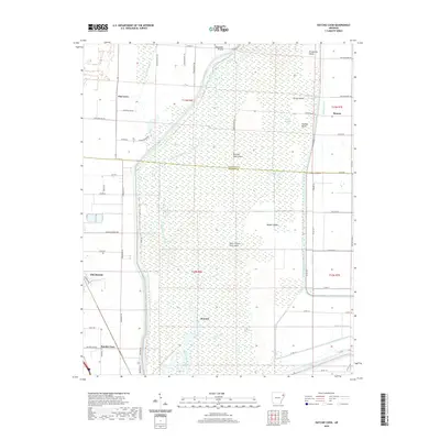 2020 Hatchie Coon2020 Print · USGSCovers Trumann, including Longwill, Donnick, and other nearby areas
 - 2020 Map of Trumann, 2020 Print
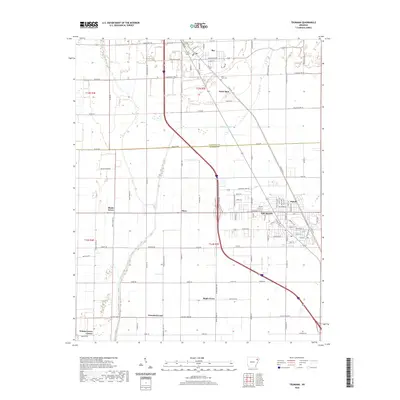 2020 Trumann2020 Print · USGSCovers Trumann, including Bay, Davis Spur, and other nearby areas
 - 2024 Map of Trumann, 2024 Print
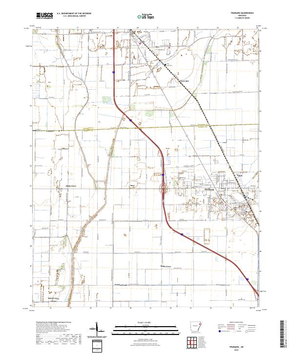 2024 Trumann2024 Print · USGSPoinsett County at the present day reveals a landscape deeply shaped by drainage engineering and the rail corridor. You can trace the layout of Trumann and locate smaller legacy sites such as Saint Pauls Cem, Stacy, and Dobell.
 - 2024 Map of Hatchie Coon, 2024 Print
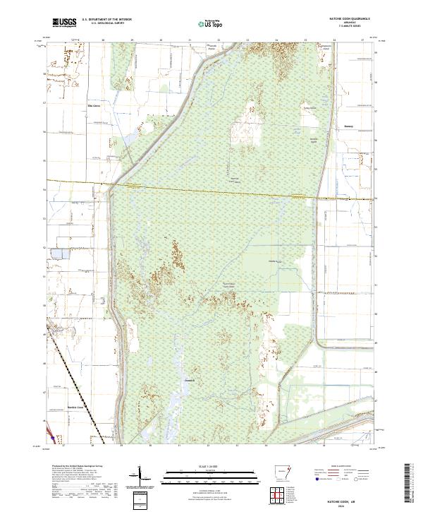 2024 Hatchie Coon2024 Print · USGSThe Arkansas Delta's unique bottomlands are on full display here in the early twenty-first century, centered on the seismic depressions of the Saint Francis Sunk Lands. Researchers can trace the drainage patterns and isolated settlements like Hatchie Coon, Donnick, and the namesake Hatchie Coon Lake.
End of results
Showing maps 1-4 of 4
Top cities near Trumann
- Jonesboro historical maps
- Marked Tree historical maps
- Harrisburg historical maps
- Lake City historical maps
- Bay historical maps
- Lepanto historical maps
See more
Top neighborhoods of Trumann
Frequently asked questions
- What are the different types of historical maps available for Trumann?
- What is the oldest map of Trumann?
- Where can I purchase historical maps of Trumann for my home or office?
- Where can I download high-res historical maps of Trumann?
- Are there historical topographic maps available for Trumann?
- Is there historical aerial imagery available for Trumann?
- Where are historical maps of Trumann sourced from?