Old Maps of Nunley, Arkansas
Explore 13 old maps of Nunley, spanning from 1890 to today. These high-resolution historic maps reveal how streets, neighborhoods, landmarks, and natural features evolved over time — perfect for genealogy, metal detecting, research, and local history exploration.
What you can do with these maps:
- See how Nunley changed over time: Compare historical maps to modern-day views to trace roads, homesites, rail lines & more.
- View detailed metadata: Each map includes creators, publishers, year, scale, and archive source.
- Overlay maps with satellite & LiDAR: Visualize the past alongside modern tools to explore terrain & human change.
- Trusted historical sources: Maps sourced from the USGS, Library of Congress, and other archives.
- Access maps your way: View online, download high-res files, or order prints for personal or research use.
Start exploring old maps of Nunley to uncover forgotten places, hidden landmarks, and the deep history beneath your feet.
Nunley, AR maps
(13)- 1890 Map of Poteau Mountain
 1890 Poteau Mountain1890 Print · USGSWestern Arkansas and the Indian Territory border are mapped in the late 1880s as the frontier gives way to established settlements. Genealogists can trace early homesteads and post offices like Waldron, Dallas, and Cherry Hill, or locate the historic Toll Gate and Talihina Trail.2 unique versions available
 - 1899 Map of Poteau Mountain
 1899 Poteau Mountain1899 Print · USGSThe Arkansas borderlands and the Choctaw Nation frontier are captured here just before the turn of the century. Local historians can trace old homesteads and post offices near Waldron, Dallas, and the remote Cherry Hill (Egger P.O.) along the upper Ouachita.6 unique versions available
 - 1950 Map of Mcalester
 1950 Mcalester1950 Print · USGSThe Ouachita Mountains and the coal country of Southeast Oklahoma are shown here in the late 1940s. Genealogists and historians can trace the rail-driven growth of McAlester, Wilburton, and Antlers alongside the rugged terrain of Kiamichi Mountain.2 unique versions available
 - 1958 Map of Mena, 1959 Print
 1958 Mena1959 Print · USGSPolk County life in the late fifties centered on the mountain valleys around Mena and the Ouachita National Forest boundary. Researchers can trace rural school locations like Stilwell Sch, the Kansas City Southern Railroad corridor, and many family burial grounds including Yocana Cem.
 - 1958 Map of Mena, 1959 Print
 1958 Mena1959 Print · USGSMena and its neighboring settlements in the late fifties reveal a bustling railroad town integrated with the surrounding Ouachita highlands. Trace local genealogy and industry through the Mena Municipal Landing Field, Holly Springs Ch, and the Dallas settlement.3 unique versions available
 - 1962 Map of McAlester
 1962 McAlester1962 Print · USGSSoutheastern Oklahoma and western Arkansas are shown here during the early sixties, a time of transition for the region's mountain communities and timberlands. Researchers can trace the paths of the Kansas City Southern RR through Heavener or locate settlements like Talihina and Broken Bow near the Kiamichi Mountains.2 unique versions available
 - 1965 Map of McAlester
 1965 McAlester1965 Print · USGSSoutheastern Oklahoma and western Arkansas appear here in the mid-1960s, showing the intersection of the timber industry and the growing reservoir system. Genealogists can trace family roots through settlements like Antlers, Idabel, and Kiowa or follow the historic routes of the Kansas City Southern Ry.3 unique versions available
 - 1989 Map of Mena, 1991 Print
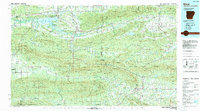 1989 Mena1991 Print · USGSThe Ouachita and Kiamichi mountains define this borderland region in the late 1980s. Local historians can trace the Kansas City Southern RR corridor from Mena through settlements like Heavener and past the waters of Wister Lake.
 - 2011 Map of Mena, 2011 Print
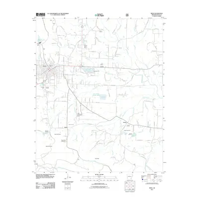 2011 Mena2011 Print · USGSMena and its surrounding Polk County foothills are shown in detail during the early 2010s as the regional hub continues to grow. Researchers can trace the path of the Kansas City Southern railroad or locate local landmarks like Nunley Cemetery and the Bethesda Church.
 - 2014 Map of Mena, 2014 Print
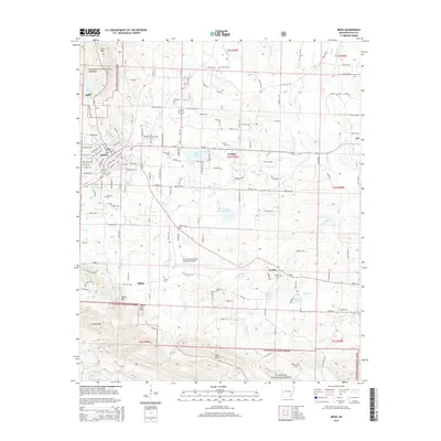 2014 Mena2014 Print · USGSMena and its neighboring mountain ridges stand at the heart of Polk County during the early twenty-first century. Genealogists and local historians can trace family locations near Corinth Cemetery, the old settlement of Dallas, or the rural community of Nunley.
 - 2017 Map of Mena, 2017 Print
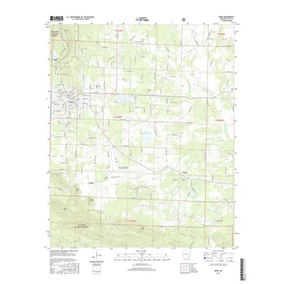 2017 Mena2017 Print · USGSMena sits at the foot of the Ouachita Mountains in this 2017 record of Polk County. Genealogists and historians can trace local landmarks like Pinecrest Cem, the Kansas City Southern rail line, and the old settlement of Dallas.
 - 2020 Map of Mena, 2020 Print
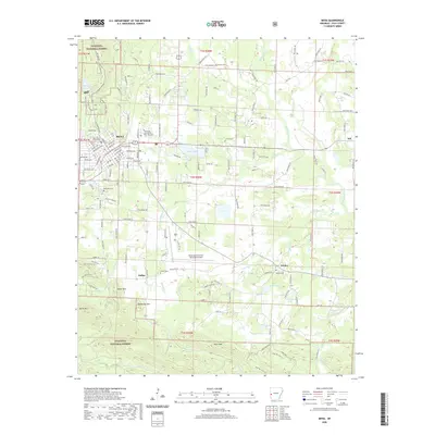 2020 Mena2020 Print · USGSMena and the surrounding Ouachita foothills are captured here during a period of sustained mountain-valley settlement. Genealogists and local historians can locate several rural burying grounds including Corinth Cem and Owens Cem, or trace the geography of the Ouachita National Forest near Rich Mountain.
 - 2024 Map of Mena, 2024 Print
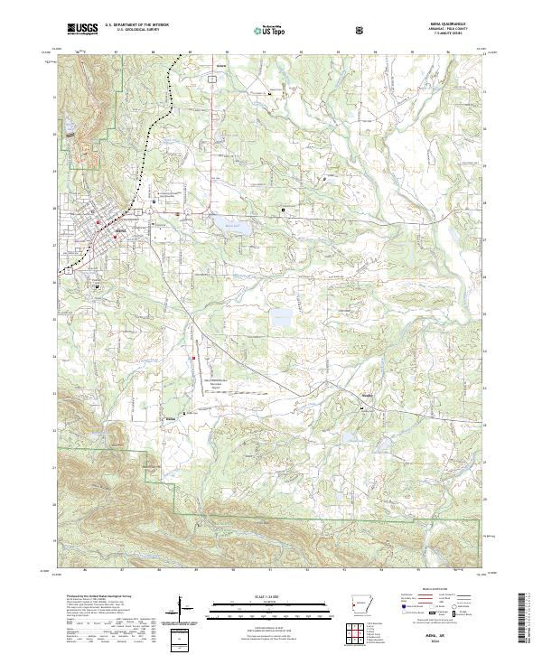 2024 Mena2024 Print · USGSMena and its neighboring mountain settlements are captured here in the 2020s, showing the intersection of local industry and the surrounding wilderness. Genealogists can trace family names at Dallas Cem and Nunley Cem or follow the Kansas City Southern rail line through town.
End of results
Showing maps 1-13 of 13
Top cities near Nunley
Frequently asked questions
- What are the different types of historical maps available for Nunley?
- What is the oldest map of Nunley?
- Where can I purchase historical maps of Nunley for my home or office?
- Where can I download high-res historical maps of Nunley?
- Are there historical topographic maps available for Nunley?
- Is there historical aerial imagery available for Nunley?
- Where are historical maps of Nunley sourced from?