Old Maps of Lost Corner, Arkansas for Genealogy
Trace your family roots with 21 historic maps of Lost Corner. These high-res maps reveal old neighborhoods, homesites, landmarks, and streets — helping you uncover where your ancestors lived and how the area evolved over time.
- Explore historic neighborhoods: Identify where your relatives may have lived in the 1800s or 1900s.
- Compare maps over time: Trace the changes in streets, buildings, and landmarks for multi-generational research.
- Perfect for genealogy & ancestry research: Used by family historians and researchers to map out lineage and migration.
These maps are an incredible resource for exploring your personal connection to Lost Corner's past.
Lost Corner, AR maps
(21)- 1879 Map of Washington
 1879 Washington1879 Print · USGSThe Arkansas backcountry in the late 1870s is captured in this focused survey of the Ozark foothills. Researchers can trace the rugged headwaters of Illinois Creek and identify landmarks like Grapevine Mountain and Longs Spr.
 - 1887 Map of Smyrna
 1887 Smyrna1887 Print · USGSIn the late 1880s, the Smyrna area of Pope County was a landscape of steep Ozark elevations and winding waterways. Genealogists and hikers can trace the original paths of Illinois Creek and Hurricane Cr as they flow around the base of Grapevine Mountain.
 - 1889 Map of Marshall #3
 1889 Marshall #31889 Print · USGSThe Arkansas Ozarks come into focus in the late nineteenth century as early surveyors mapped the headwaters of the Illinois Bayou. Researchers can trace the steep elevations of Grapevine Mountain and locate early landmarks like Longs Spr and the East Fork.
 - 1892 Map of Marshall
 1892 Marshall1892 Print · USGSThe Ozark highlands of Searcy and Van Buren Counties appear here in the early 1890s, characterized by isolated mountain settlements and complex river headwaters. Genealogists can trace early homesteads and family-named landmarks such as Wileys Cove, Hendersons Knob, and Witts Springs.
 - 1894 Map of Marshall
 1894 Marshall1894 Print · USGSThe Ozark plateau in the 1890s reveals a sparse network of mountain settlements and family landmarks. Genealogists can locate early community centers like Snow Ball and Witts Springs or trace ancestral lands near Point Peter and Hendersons Knob.
 - 1901 Map of Marshall
 1901 Marshall1901 Print · USGSThe Ozark plateau in the 1890s reveals a rugged network of high ridges and river forks where isolation defined early settlement. Genealogists can trace family roots through upland communities like Snowball, Witts Springs, and Wileys Cove before modern infrastructure reached the Boston Mountain range.4 unique versions available
 - 1940 Map of Smyrna, 1961 Print
 1940 Smyrna1961 Print · USGSThe Arkansas Ozarks around the Pope and Searcy county lines are shown here at a time when small mountain schools and isolated settlements were the heart of the community. Researchers can trace family roots at Old Smyrna Cem or find the sites of vanished homesteads near Lost Corner and Nogo Sch.2 unique versions available
 - 1943 Map of Smyrna
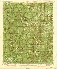 1943 Smyrna1943 Print · USGSThe Boston Mountains of Pope and Van Buren counties appear in the early 1940s as a landscape of isolated ridges and headwater creeks. Genealogists and historians can trace the foundations of rural life at Old Smyrna Cem, Union Hill Sch, and the remote settlement of Nogo.
 - 1956 Map of Russellville
 1956 Russellville1956 Print · USGSThe Arkansas River valley and the surrounding Boston Mountains are captured here in the mid-fifties, showing a landscape of small timber towns and new reservoirs. Genealogists can trace family roots through upland settlements like Pelsor and Witts Springs or locate the campus of Arkansas Polytechnic College.2 unique versions available
 - 1964 Map of Russellville
 1964 Russellville1964 Print · USGSMid-century Central Arkansas is defined here by the river-valley towns and the surrounding mountain ranges before the full expansion of the interstate system. Genealogists and historians can trace rail-town development along the Missouri Pacific Railroad and locate landmarks like Arkansas Polytechnic College or Petit Jean State Park.
 - 1974 Map of Smyrna SE, 1975 Print
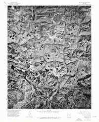 1974 Smyrna SE1975 Print · USGSNorth-central Arkansas is captured in the mid-1970s through high-altitude aerial photography, revealing the isolated homesteads and deep woods of the Ozarks. Researchers can pinpoint the exact locations of structures at Lost Corner and trace the winding course of Illinois.
 - 1977 Map of Russellville
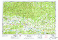 1977 Russellville1977 Print · USGSThe Arkansas River Valley and surrounding Ozark Mountains are documented here during a period of significant postwar growth and infrastructure development. Genealogists and researchers can locate family landmarks such as Mount Carmel Cem, St Josephs Church, and several remote Coal Mine sites along the Missouri Pacific RR line.
 - 1980 Map of Lost Corner
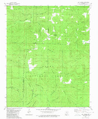 1980 Lost Corner1980 Print · USGSThe high ridges of the Ozarks are documented here in the early eighties, where the Pope and Van Buren county lines meet. Researchers can trace rural settlement patterns through family-named landmarks like Snowlick Mountain and sites such as New Hope Cem and Lost Corner.
 - 1983 Map of Mountain View
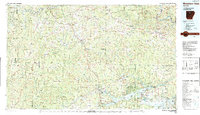 1983 Mountain View1983 Print · USGSNorth-central Arkansas comes into sharp focus during the early eighties, showing the transition from traditional Ozark mountain settlements to a landscape shaped by major reservoirs. Genealogists and historians can trace family roots through mountain hamlets like Snowball, Witts Springs, and Timbo, or locate landmarks such as Zion Hill Church and the Missouri Pacific Railroad.
 - 1984 Map of Russellville
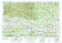 1984 Russellville1984 Print · USGSThe Arkansas River valley was undergoing significant change in the 1950s as transportation and water management reshaped the region from Russellville to Conway. Researchers can trace the era's rail networks like the Missouri Pacific RR and explore landmarks like Magazine Mountain and Petit Jean State Park.
 - 1992 Map of Russellville, 1993 Print
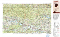 1992 Russellville1993 Print · USGSCentral Arkansas in the early nineties shows a landscape defined by the Arkansas River valley and the surrounding national forests. Trace the development of river towns like Russellville and Dardanelle alongside landmarks such as Lake Dardanelle and Magazine Mtn.
 - 2011 Map of Lost Corner, 2011 Print
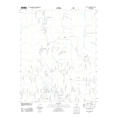 2011 Lost Corner2011 Print · USGSThe rural Arkansas landscape near Lost Corner and Austin is captured here in the early 21st century, showing a region defined by high ridges and deep hollows. Researchers can trace family-named landmarks like Victor Millsaps Hollow, Campbell Hollow, and New Hope Cemetery.
 - 2014 Map of Lost Corner, 2014 Print
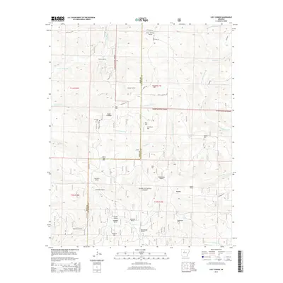 2014 Lost Corner2014 Print · USGSThe upland interior of the Ozarks is captured here near the Pope and Van Buren County line in the early twenty-first century. Researchers can trace the drainage of Brushy Fork and find family-named landmarks like Victor Millsaps Hollow and New Hope Cem.
 - 2017 Map of Lost Corner, 2017 Print
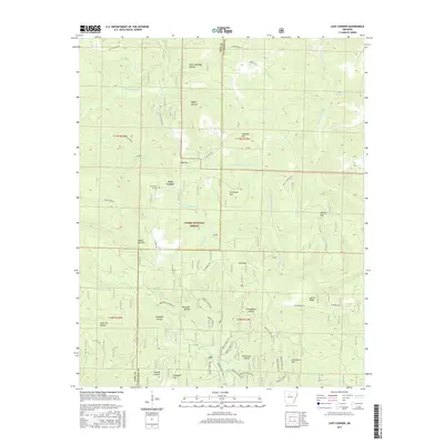 2017 Lost Corner2017 Print · USGSThe Pope and Van Buren county line near Lost Corner was still defined by its deep hollows and family-named ridges in the late twenty-teens. Researchers can trace the legacy of early settlers through landmarks like New Hope Cemetery, Victor Millsaps Hollow, and Schoolhouse Hollow.
 - 2020 Map of Lost Corner, 2020 Print
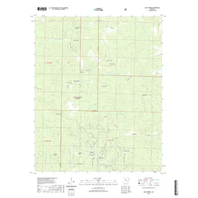 2020 Lost Corner2020 Print · USGSThe Pope and Van Buren county line comes alive in the modern era, showing the deep-set hollows and ridges of the Ozarks. Family historians can trace legacies through sites like New Hope Cem and geographically named landmarks such as Victor Millsaps Hollow and Schoolhouse Hollow.
 - 2024 Map of Lost Corner, 2024 Print
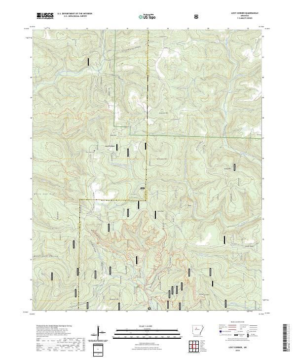 2024 Lost Corner2024 Print · USGSThe remote ridges of the Ozarks are captured here on the Pope and Van Buren county line. Genealogists and hikers can trace old family hollows and landmarks like New Hope Cem, Victor Millsaps Hollow, and the rural settlement of Lost Corner.
End of results
Showing maps 1-21 of 21
Top cities near Lost Corner
Frequently asked questions
- What are the different types of historical maps available for Lost Corner?
- What is the oldest map of Lost Corner?
- Where can I purchase historical maps of Lost Corner for my home or office?
- Where can I download high-res historical maps of Lost Corner?
- Are there historical topographic maps available for Lost Corner?
- Is there historical aerial imagery available for Lost Corner?
- Where are historical maps of Lost Corner sourced from?