Old Maps of Fairmount, Arkansas
Explore 16 old maps of Fairmount, spanning from 1937 to today. These high-resolution historic maps reveal how streets, neighborhoods, landmarks, and natural features evolved over time — perfect for genealogy, metal detecting, research, and local history exploration.
What you can do with these maps:
- See how Fairmount changed over time: Compare historical maps to modern-day views to trace roads, homesites, rail lines & more.
- View detailed metadata: Each map includes creators, publishers, year, scale, and archive source.
- Overlay maps with satellite & LiDAR: Visualize the past alongside modern tools to explore terrain & human change.
- Trusted historical sources: Maps sourced from the USGS, Library of Congress, and other archives.
- Access maps your way: View online, download high-res files, or order prints for personal or research use.
Start exploring old maps of Fairmount to uncover forgotten places, hidden landmarks, and the deep history beneath your feet.
Fairmount, AR maps
(16)- 1937 Map of Stuttgart
 1937 Stuttgart1937 Print · USGSThe Grand Prairie region of Arkansas is captured here in the mid-1930s, showing the early infrastructure of the rice-growing heartland. Genealogists can trace family roots through numerous country schools and landmarks like Rice Junction, Slovac, and the Gum Pond Cem.3 unique versions available
 - 1939 Map of Stuttgart, 1947 Print
 1939 Stuttgart1947 Print · USGSThe Grand Prairie region of Arkansas is captured here in the late 1930s, showing the agricultural heartland around the rail hub of Stuttgart. Genealogists and historians can trace defunct rural school districts like Fairmount Sch and Hamilton Sch or the early rail alignments of the St Louis Southwestern Ry.
 - 1948 Map of Helena
 1948 Helena1948 Print · USGSEastern Arkansas and the Mississippi Delta are captured here just after the war, showing a landscape defined by its great rivers and rail lines. Genealogists can trace family locations near Bemis Plantation, Helena, and smaller rail stops like Wheatley and Moro.
 - 1950 Map of Helena
 1950 Helena1950 Print · USGSMid-century Phillips County and the surrounding Delta region are shown at a peak of rail and river commerce. Genealogists and historians can trace family locations through numerous rural communities like Old Austin, Cotton Plant, and West Helena, or follow the routes of the Missouri Pacific RR across Grand Prairie.2 unique versions available
 - 1955 Map of Helena, 1967 Print
 1955 Helena1967 Print · USGSThe Arkansas Delta and Mississippi floodplains are captured here in the mid-fifties, during a period of expanding flood control and rail commerce. Researchers can trace the extensive Chicago Rock Island and Pacific RR lines and locate sites like the Arkansas State College Experimental Rice Farm or Friars Point.2 unique versions available
 - 1959 Map of Helena
 1959 Helena1959 Print · USGSThe Arkansas and Mississippi Delta regions are captured here in the late fifties, showing a landscape defined by the Mississippi River and the Grand Prairie. Genealogists and researchers can trace the rail networks of the Illinois Central RR and locate community landmarks like Helena and the White River National Wildlife Refuge.
 - 1960 Map of Helena
 1960 Helena1960 Print · USGSThe Arkansas and Mississippi Delta regions meet along the great river bends during a period of significant agricultural and rail expansion. Genealogists and historians can trace the paths of the Missouri Pacific railroad through Clarendon or locate landings along the Mississippi River and White River.
 - 1969 Map of Stuttgart North, 1971 Print
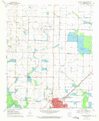 1969 Stuttgart North1971 Print · USGSStuttgart and the Grand Prairie region are seen here at the close of the sixties, shaped by a complex network of reservoirs and irrigation flumes. Genealogists can locate several rural burial sites like Tate Cem and Talman Cem, or trace the tracks of the St Louis Southwestern railroad.
 - 1971 Map of Stuttgart
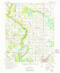 1971 Stuttgart1971 Print · USGSThe Grand Prairie region of Arkansas comes alive in the early 1970s, showing the meeting of three counties and two major railroads. Researchers can trace the heritage of local communities like Slovak and Fairmount or locate family plots at Geridge Cemetery and Tate Cemetery.
 - 1986 Map of Brinkley
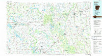 1986 Brinkley1986 Print · USGSThe Grand Prairie and White River basin come to life in the mid-1980s, showing the intersection of heavy rail and interstate travel through eastern Arkansas. Genealogists can locate family sites near Sylvania Cem, Oak Grove Ch, and the rural community of De Valls Bluff.
 - 1990 Map of Brinkley, 1991 Print
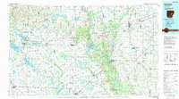 1990 Brinkley1991 Print · USGSEastern Arkansas at the start of the 1990s is defined by the agricultural rhythms of the Grand Prairie and the vital White River corridor. Genealogists and historians can trace the rail-linked growth of Brinkley and Des Arc alongside older landmarks like Peckerwood Lake.
 - 2011 Map of Stuttgart North, 2011 Print
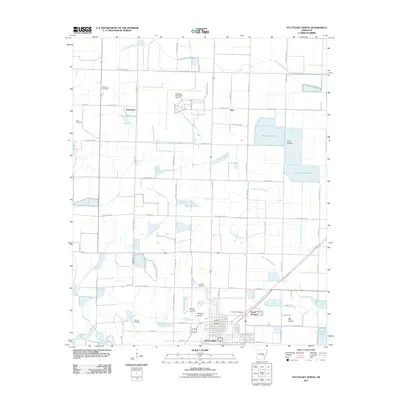 2011 Stuttgart North2011 Print · USGSStuttgart and its northern agricultural hinterland are captured here in the early twenty-first century, showing a landscape shaped by rice farming and aviation. Genealogists and researchers can locate several community landmarks including the Fairmount Cemetery, Talman Cemetery, and the settlement of Kay.
 - 2014 Map of Stuttgart North, 2014 Print
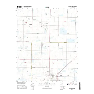 2014 Stuttgart North2014 Print · USGSThe Grand Prairie region near Stuttgart is seen here in the mid-2010s, defined by its flat agricultural landscape and extensive water management systems. Researchers can locate family sites at Fairmount and Talman Cem, or trace the paths of Little LaGrue Bayou and the Old England Hwy.
 - 2017 Map of Stuttgart North, 2017 Print
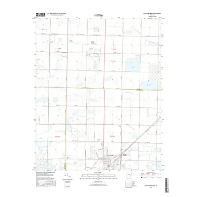 2017 Stuttgart North2017 Print · USGSThe northern reaches of Stuttgart and the wide agricultural expanses of the Grand Prairie are documented here in the late twenty-tens. Genealogists and local historians can trace family plots at Fairmount Cem and Talman Cem, or locate landmarks like the Stuttgart Municipal Airport and Wolf Reservoir.
 - 2020 Map of Stuttgart North, 2020 Print
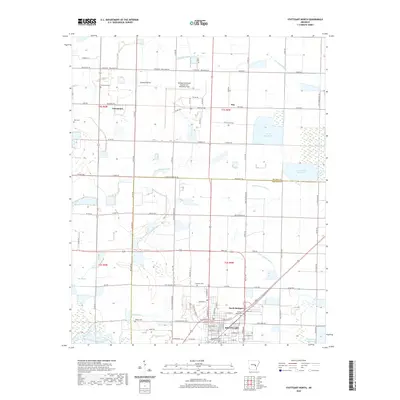 2020 Stuttgart North2020 Print · USGSThe rice-farming heart of the Arkansas Delta is revealed in this contemporary survey of the area surrounding Stuttgart. Researchers can trace rural lineages through numerous burial sites like Tate Cem and Fairmont Cem or locate the sprawling Wolf Reservoir.
 - 2024 Map of Stuttgart North, 2024 Print
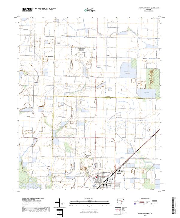 2024 Stuttgart North2024 Print · USGSThe northern reaches of the Rice Capital of the World and the surrounding Grand Prairie are shown in this modern topographic survey. Local historians can trace cemetery locations like Talman Cem or Fairmount Cem and explore the rural hamlets of Fairmount and Kay.
End of results
Showing maps 1-16 of 16
Top cities near Fairmount
- Stuttgart historical maps
- Carlisle historical maps
- Hazen historical maps
- Humphrey historical maps
- De Valls Bluff historical maps
- Fredonia (Biscoe) historical maps
See more
Frequently asked questions
- What are the different types of historical maps available for Fairmount?
- What is the oldest map of Fairmount?
- Where can I purchase historical maps of Fairmount for my home or office?
- Where can I download high-res historical maps of Fairmount?
- Are there historical topographic maps available for Fairmount?
- Is there historical aerial imagery available for Fairmount?
- Where are historical maps of Fairmount sourced from?