Old Maps of Bee Branch, Arkansas for Genealogy
Trace your family roots with 10 historic maps of Bee Branch. These high-res maps reveal old neighborhoods, homesites, landmarks, and streets — helping you uncover where your ancestors lived and how the area evolved over time.
- Explore historic neighborhoods: Identify where your relatives may have lived in the 1800s or 1900s.
- Compare maps over time: Trace the changes in streets, buildings, and landmarks for multi-generational research.
- Perfect for genealogy & ancestry research: Used by family historians and researchers to map out lineage and migration.
These maps are an incredible resource for exploring your personal connection to Bee Branch's past.
Bee Branch, AR maps
(10)- 1956 Map of Russellville
 1956 Russellville1956 Print · USGSCovers Bee Branch, including Conway, Russellville, and other nearby areas2 unique versions available
 - 1961 Map of Bee Branch, 1963 Print
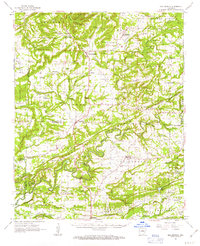 1961 Bee Branch1963 Print · USGSCovers Bee Branch, including Greenbrier, Guy, and other nearby areas2 unique versions available
 - 1961 Map of Bee Branch, 1966 Print
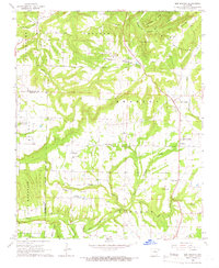 1961 Bee Branch1966 Print · USGSCovers Bee Branch, including Southside, Rabbit Ridge, and other nearby areas2 unique versions available
 - 1964 Map of Russellville
 1964 Russellville1964 Print · USGSCovers Bee Branch, including Conway, Russellville, and other nearby areas
 - 1977 Map of Russellville
 1977 Russellville1977 Print · USGSCovers Bee Branch, including Conway, Russellville, and other nearby areas
 - 1983 Map of Conway, 1984 Print
 1983 Conway1984 Print · USGSCovers Bee Branch, including Conway, Cabot, and other nearby areas
 - 1984 Map of Russellville
 1984 Russellville1984 Print · USGSCovers Bee Branch, including Conway, Russellville, and other nearby areas
 - 1991 Map of Bee Branch, 1995 Print
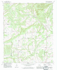 1991 Bee Branch1995 Print · USGSCovers Bee Branch, including Southside, Rabbit Ridge, and other nearby areas
 - 1992 Map of Russellville, 1993 Print
 1992 Russellville1993 Print · USGSCovers Bee Branch, including Conway, Russellville, and other nearby areas
 - 2024 Map of Bee Branch, 2024 Print
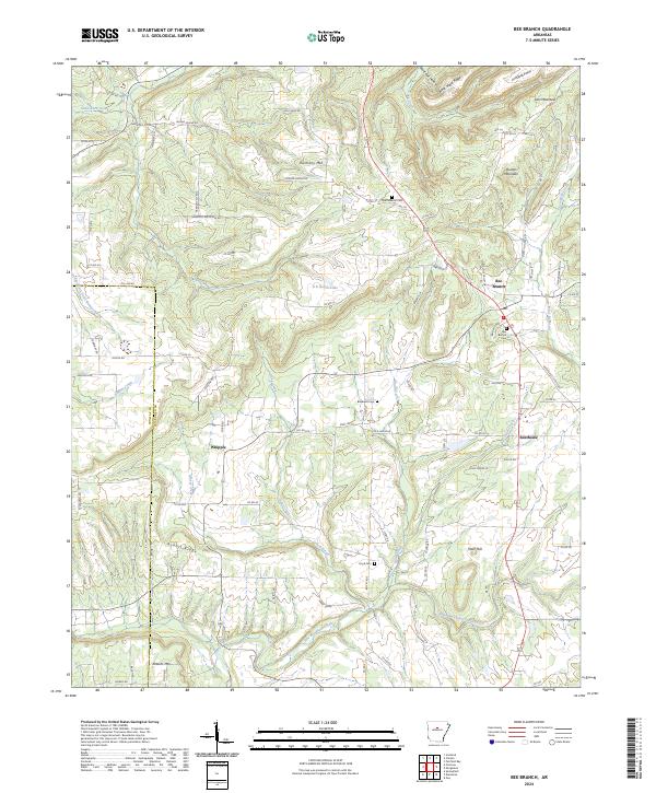 2024 Bee Branch2024 Print · USGSCovers Bee Branch, including Damascus, Rabbit Ridge, and other nearby areas
End of results
Showing maps 1-10 of 10
Top cities near Bee Branch
- Greenbrier historical maps
- Clinton historical maps
- Fairfield Bay historical maps
- Greers Ferry historical maps
- Quitman historical maps
- Guy historical maps
See more
Frequently asked questions
- What are the different types of historical maps available for Bee Branch?
- What is the oldest map of Bee Branch?
- Where can I purchase historical maps of Bee Branch for my home or office?
- Where can I download high-res historical maps of Bee Branch?
- Are there historical topographic maps available for Bee Branch?
- Is there historical aerial imagery available for Bee Branch?
- Where are historical maps of Bee Branch sourced from?