Old Maps of Judsonia, Arkansas
Explore 18 old maps of Judsonia, spanning from 1935 to today. These high-resolution historic maps reveal how streets, neighborhoods, landmarks, and natural features evolved over time — perfect for genealogy, metal detecting, research, and local history exploration.
What you can do with these maps:
- See how Judsonia changed over time: Compare historical maps to modern-day views to trace roads, homesites, rail lines & more.
- View detailed metadata: Each map includes creators, publishers, year, scale, and archive source.
- Overlay maps with satellite & LiDAR: Visualize the past alongside modern tools to explore terrain & human change.
- Trusted historical sources: Maps sourced from the USGS, Library of Congress, and other archives.
- Access maps your way: View online, download high-res files, or order prints for personal or research use.
Start exploring old maps of Judsonia to uncover forgotten places, hidden landmarks, and the deep history beneath your feet.
Judsonia, AR maps
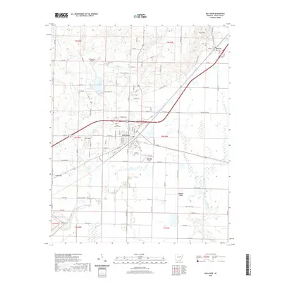
(18)- 1935 Map of Bald Knob, 1963 Print
 1935 Bald Knob1963 Print · USGSWhite County during the mid-1930s is defined by its rail-linked towns and the winding Little Red River. Researchers can trace numerous vanished landmarks, from the Seven Day Sch and Big Four Sch to the Missouri Pacific Railroad corridor.
 - 1953 Map of Memphis, 1966 Print
 1953 Memphis1966 Print · USGSEastern Arkansas and the Memphis riverfront are shown here during the mid-century period of regional growth and river management. Local historians can trace the paths of the Chicago Rock Island & Pacific RR through Forrest City or locate river landmarks like President's Island.3 unique versions available
 - 1956 Map of Memphis
 1956 Memphis1956 Print · USGSThe Mississippi Delta and the bluffs of West Tennessee meet in the mid-fifties, showing a landscape defined by massive river systems and rail hubs. Researchers can trace the path of Crowleys Ridge or locate vanished river landings near Centennial Island and Island No 35.
 - 1965 Map of Bald Knob, 1966 Print
 1965 Bald Knob1966 Print · USGSWhite County, Arkansas, is captured here in the mid-1960s, showing the intersection of rail transit and rural agriculture. Researchers can trace family history through several burial grounds like Pleasant Grove Cem or locate old community hubs such as Midway and Hopewell Ch.2 unique versions available
 - 1965 Map of Judsonia, 1966 Print
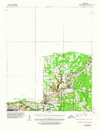
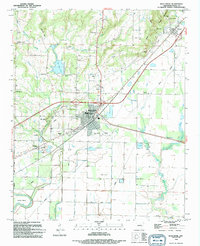
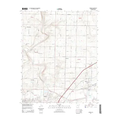
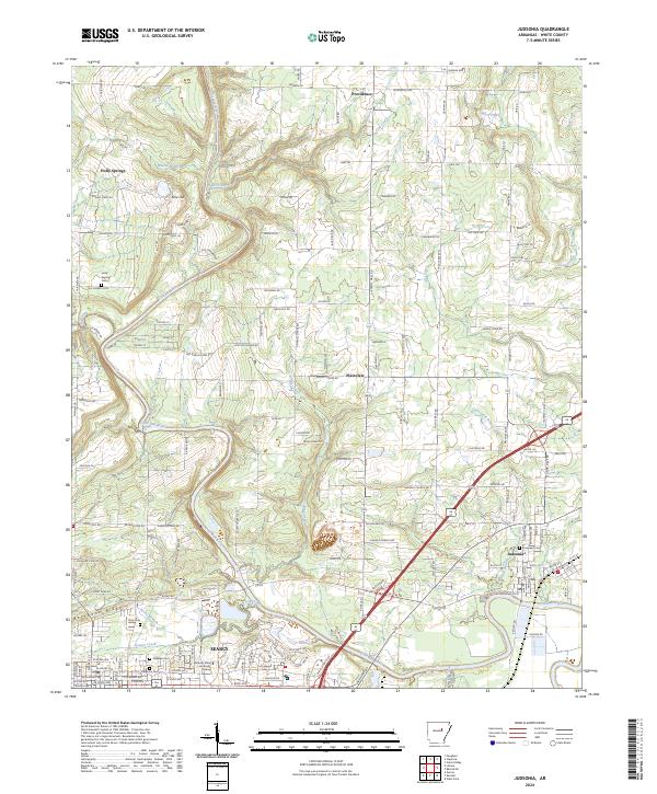
 1965 Judsonia1966 Print · USGSWhite County during the mid-sixties shows a landscape shaped by the winding Little Red River and the busy Missouri Pacific rail line. Genealogists can locate family landmarks like Holly Springs Cem, Oakdale Ch, and the original street layouts of Searcy and Judsonia.3 unique versions available
 - 1986 Map of Searcy
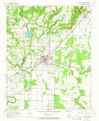
 1986 Searcy1986 Print · USGSWhite County and its neighbors reached a period of established agricultural and rail prosperity by the mid-1980s. Local researchers can trace the routes of the Missouri Pacific RR and locate rural communities like Velvet Ridge, Sunnydale, and Cotton Plant.2 unique versions available
 - 1994 Map of Judsonia
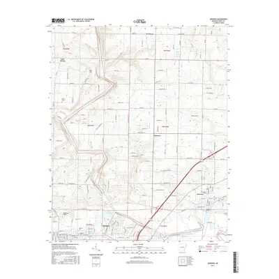
 1994 Judsonia1994 Print · USGSWhite County life in the mid-1990s is captured here, centered on the Little Red River and the growing communities of Judsonia and SEARCY. Genealogists can locate numerous landmarks including Evergreen Cem, Holly Springs Ch, and Plainview.
 - 1994 Map of Bald Knob
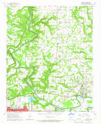
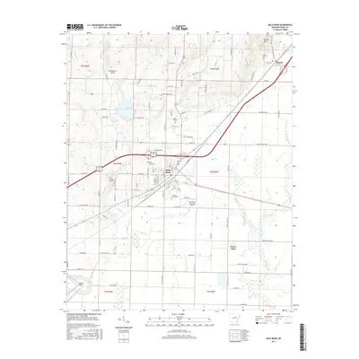
 1994 Bald Knob1994 Print · USGSThe mid-Arkansas landscape around Bald Knob is captured here in the mid-nineties, showing the intersection of the Missouri Pacific rail line and the Little Red River. Local historians can trace family sites at Shady Grove Cem, Midway, and the Liberty Valley Ch.
 - 2011 Map of Bald Knob, 2011 Print
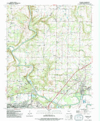
 2011 Bald Knob2011 Print · USGSCovers Judsonia, including Bald Knob, Russell, and other nearby areas
 - 2011 Map of Judsonia, 2011 Print
 2011 Judsonia2011 Print · USGSCovers Judsonia, including Searcy, Bee Rock, and other nearby areas
 - 2014 Map of Bald Knob, 2014 Print
 2014 Bald Knob2014 Print · USGSCovers Judsonia, including Bald Knob, Russell, and other nearby areas
 - 2014 Map of Judsonia, 2014 Print
 2014 Judsonia2014 Print · USGSCovers Judsonia, including Searcy, Bee Rock, and other nearby areas
 - 2017 Map of Bald Knob, 2017 Print
 2017 Bald Knob2017 Print · USGSCovers Judsonia, including Bald Knob, Russell, and other nearby areas
 - 2017 Map of Judsonia, 2017 Print
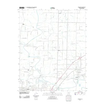
 2017 Judsonia2017 Print · USGSCovers Judsonia, including Searcy, Bee Rock, and other nearby areas
 - 2020 Map of Judsonia, 2020 Print
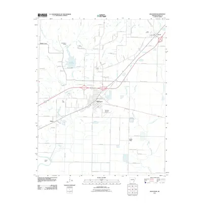
 2020 Judsonia2020 Print · USGSCovers Judsonia, including Searcy, Bee Rock, and other nearby areas
 - 2020 Map of Bald Knob, 2020 Print
 2020 Bald Knob2020 Print · USGSCovers Judsonia, including Bald Knob, Russell, and other nearby areas
 - 2024 Map of Bald Knob, 2024 Print
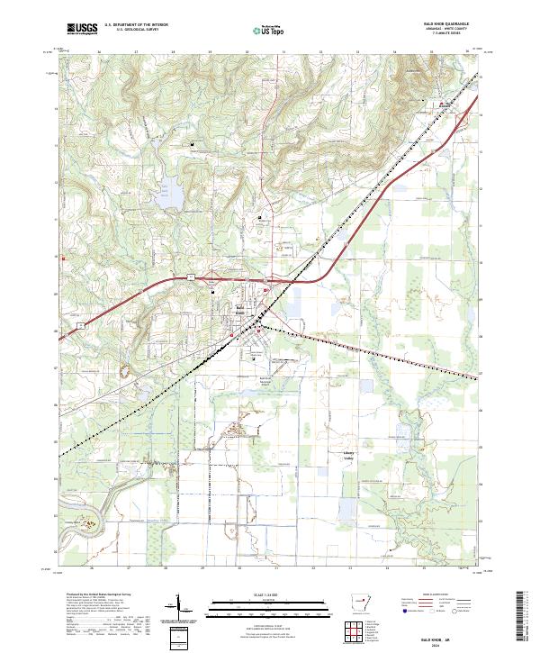 2024 Bald Knob2024 Print · USGSThe rail and river corridors of White County appear in clear detail on this modern survey. Genealogists and historians can trace family landmarks like Gilbert Cem and Bolden Cem or the expansive reaches of the Bald Knob National Wildlife Refuge.
 - 2024 Map of Judsonia, 2024 Print
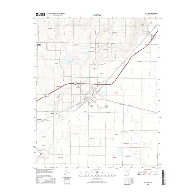
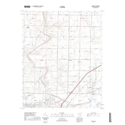
 2024 Judsonia2024 Print · USGSWhite County’s river-and-rail corridor is mapped in detail during this recent 2024 survey of the central Arkansas landscape. Researchers can trace local history through cemeteries like Evergreen and Oaklawn, or locate the campus of Arkansas State University Searcy.
End of results
Showing maps 1-18 of 18
Top cities near Judsonia
- Searcy historical maps
- Beebe historical maps
- Bald Knob historical maps
- Kensett historical maps
- Bradford historical maps
- McRae historical maps
See more
Frequently asked questions
- What are the different types of historical maps available for Judsonia?
- What is the oldest map of Judsonia?
- Where can I purchase historical maps of Judsonia for my home or office?
- Where can I download high-res historical maps of Judsonia?
- Are there historical topographic maps available for Judsonia?
- Is there historical aerial imagery available for Judsonia?
- Where are historical maps of Judsonia sourced from?