Old Maps of Ione, California for Academic Research
Study the evolution of Ione with 23 high-resolution historic maps. Whether you're teaching, researching, or modeling changes in land use, these maps provide essential visual documentation of urban, environmental, and geographic change.
- Analyze long-term change: Track patterns in development, transportation, and natural features.
- Ideal for environmental or urban studies: Support academic projects with primary historical map data.
- Use in the classroom or lab: Educators and researchers rely on these maps to bring historical context to life.
These maps are a powerful tool for teaching, research, and visualizing how Ione has changed over the decades.
Ione, CA maps
(23)- 1889 Map of Jackson
 1889 Jackson1889 Print · USGSThe Mother Lode foothills thrive in the late nineteenth century as mining and rail expansion reshape the landscape between the San Joaquin Valley and the Sierra Nevada. Genealogists and historians can trace the early layout of Jackson, locate vanished sites like Lancha Plana, and follow the path of the San Joaquin and Sierra Nevada Railroad.
 - 1892 Map of Jackson
 1892 Jackson1892 Print · USGSThe California Gold Country comes alive in the late nineteenth century as mining settlements and river-side camps define the landscape. Genealogists and historians can trace family roots through Mokelumne Hill, San Andreas, and the remote Whiskey Slide.
 - 1897 Map of Jackson
 1897 Jackson1897 Print · USGSAmador and Calaveras counties are shown here during the late nineteenth-century mining era, when the Mother Lode's river-and-rail economy was in full swing. Genealogists can trace family roots through settlements like Mokelumne Hill, San Andreas, and the remote Whiskey Slide.
 - 1902 Map of Jackson
 1902 Jackson1902 Print · USGSAmador and Calaveras counties are captured at the height of the mining era in this late nineteenth-century survey. Genealogists and historians can trace the rail lines of the Stockton and Copperopolis Railroad and find long-established camps like Lancha Plana and Jesus Maria.7 unique versions available
 - 1941 Map of Sutter Creek, 1957 Print
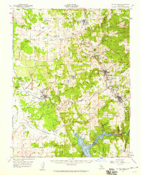
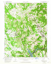
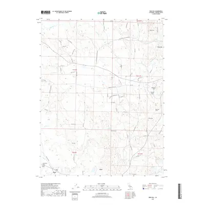
 1941 Sutter Creek1957 Print · USGSAmador County is shown at the height of its historic gold-country development in the early 1940s. Researchers can trace the Mother Lode through Amador City and Sutter Creek or locate local landmarks like the Preston School of Industry.
 - 1944 Map of Sutter Creek
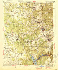 1944 Sutter Creek1944 Print · USGSThe California Gold Country is captured here during the war years, showing the established mining towns and ranching valleys of the foothills. Researchers can trace the Southern Pacific line into Ione, locate the Preston School of Industry, or find rural landmarks like Willow Springs Sch and Jackson Gate.2 unique versions available
 - 1947 Map of Sacramento, 1948 Print
 1947 Sacramento1948 Print · USGSThe Sacramento Valley meets the high Sierra during a period of post-war expansion. Trace the historic river delta islands like Grand Island or locate early airfield footprints at McClellan Air Force Base and Mather Air Force Base.2 unique versions available
 - 1948 Map of Sacramento, 1951 Print
 1948 Sacramento1951 Print · USGSPost-war Northern California comes alive in this regional survey, capturing the era of expansion between the Central Valley and the High Sierra. Researchers can trace the rail networks of the Central California Traction and Sacramento Northern RR or locate landmarks like the State Capitol and University of California Davis.
 - 1956 Map of Sacramento
 1956 Sacramento1956 Print · USGSMid-century California unfolds from the delta to the high Sierra, capturing a landscape of growing valley cities and burgeoning military airbases. Genealogists and historians can trace the rail lines and river towns from Woodland to Lodi, or explore the foothill settlements of Placerville and Jackson.2 unique versions available
 - 1957 Map of Sutter Creek, 1959 Print
 1957 Sutter Creek1959 Print · USGSAmador County’s gold-mining heart is preserved in this mid-century survey as the region balanced its industrial heritage with modern growth. Researchers can trace deep-shaft operations like the Argonaut Mine, the campus of the Preston School of Industry, and vanished settlements such as Forest Home (Site).
 - 1957 Map of Sacramento, 1966 Print
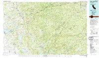
 1957 Sacramento1966 Print · USGSIn the mid-twentieth century, the California heartland was a hub of river transport, rail lines, and military airbases. Genealogists and historians can trace the development of Gold Country towns like Angels Camp and Sonora or follow the path of the Southern Pacific RR through the growing suburbs of Sacramento.4 unique versions available
 - 1962 Map of Irish Hill, 1963 Print
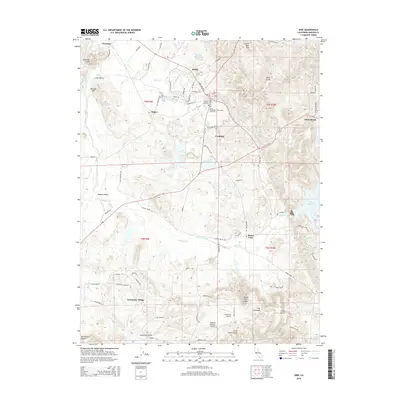
 1962 Irish Hill1963 Print · USGSAmador County was a landscape of active resource extraction and rural settlement in the early sixties. Researchers can trace the industrial footprint of Claypit and Mine sites, locate the Willow Springs Sch, or follow the Southern Pacific rail line past Edwin.2 unique versions available
 - 1962 Map of Ione, 1963 Print
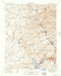
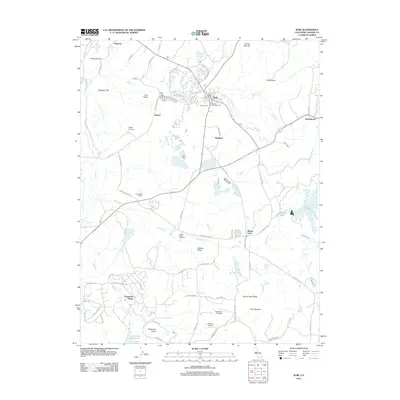
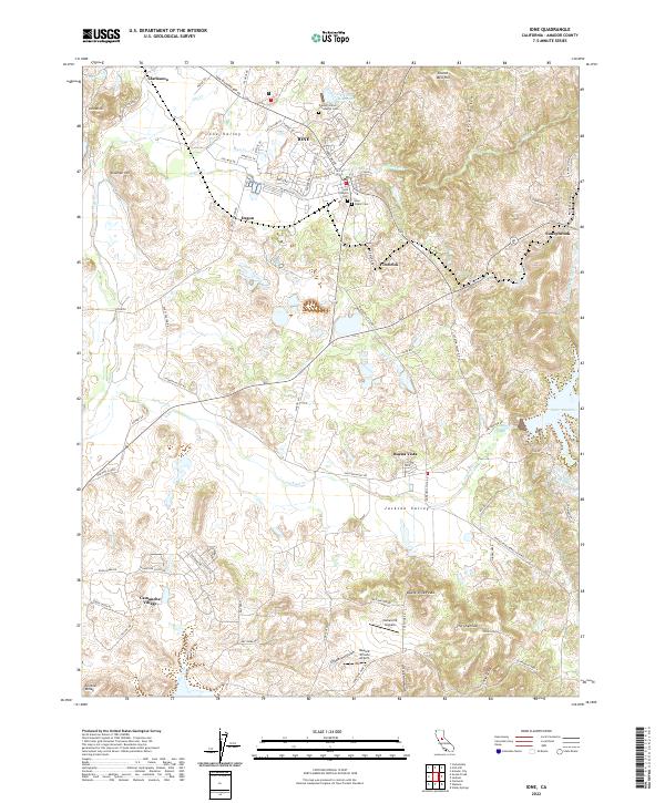
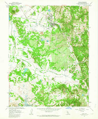 1962 Ione1963 Print · USGSAmador County is shown in the early sixties during a period of transition, as the Camanche Reservoir began to reshape the southern landscape. Researchers can trace the extensive grounds of the Preston School of Industry and numerous local Claypits near Ione.2 unique versions available
 - 1962 Map of Sutter Creek, 1964 Print
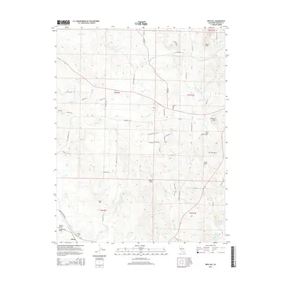
 1962 Sutter Creek1964 Print · USGSAmador County's gold-mining heartland is captured here in the early sixties, just as the Mokelumne River was being transformed by the Camanche Reservoir. Genealogists and historians can trace the foundations of the Mother Lode through labels for the Kennedy Mine, Church Bell Hill, and the Amador Co High Sch.2 unique versions available
 - 1993 Map of San Andreas, 1994 Print
 1993 San Andreas1994 Print · USGSThe Mother Lode and High Sierra foothills come alive in the 1990s, showcasing a region defined by historic gold mining and massive water projects. Genealogists and historians can locate old mining sites and rural settlements like Volcano, San Andreas, and Mokelumne Hill.
 - 2012 Map of Irish Hill, 2012 Print
 2012 Irish Hill2012 Print · USGSCovers Ione, including Edwin, Willow Springs, and other nearby areas
 - 2012 Map of Ione, 2012 Print
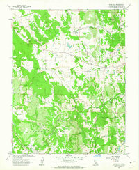
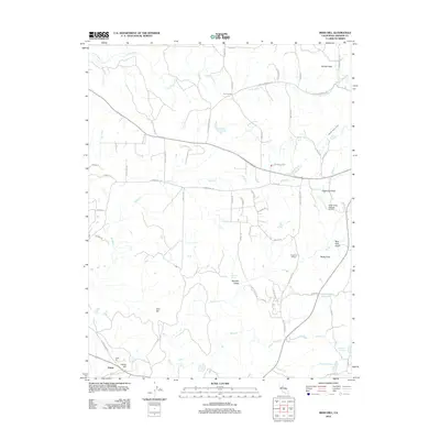
 2012 Ione2012 Print · USGSCovers Ione, including Firebrick, Camanche Village, and other nearby areas
 - 2015 Map of Ione, 2015 Print
 2015 Ione2015 Print · USGSCovers Ione, including Firebrick, Camanche Village, and other nearby areas
 - 2015 Map of Irish Hill, 2015 Print
 2015 Irish Hill2015 Print · USGSCovers Ione, including Edwin, Willow Springs, and other nearby areas
 - 2018 Map of Irish Hill, 2018 Print
 2018 Irish Hill2018 Print · USGSCovers Ione, including Edwin, Willow Springs, and other nearby areas
 - 2018 Map of Ione, 2018 Print
 2018 Ione2018 Print · USGSCovers Ione, including Firebrick, Camanche Village, and other nearby areas
 - 2021 Map of Irish Hill, 2021 Print
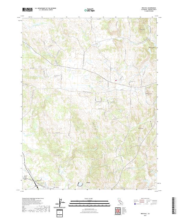 2021 Irish Hill2021 Print · USGSThe Amador County foothills appear in detail during this modern survey as the landscape transitions toward the Central Valley. Researchers can trace rural development around Plymouth and Edwin, or locate landmarks like Irish Hill and Spanish Spring.
 - 2022 Map of Ione, 2022 Print
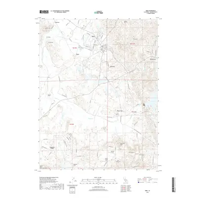
 2022 Ione2022 Print · USGSIone and the surrounding Amador County foothills are shown here as they appeared in 2022, from the town center to the shores of Lake Amador. Researchers can trace local heritage through the Preston School of Industry Cem, the Amador Central RR, and the historic Ione Canal.
End of results
Showing maps 1-23 of 23
Top cities near Ione
- Jackson historical maps
- Sutter Creek historical maps
- Plymouth historical maps
- Amador City historical maps
Frequently asked questions
- What are the different types of historical maps available for Ione?
- What is the oldest map of Ione?
- Where can I purchase historical maps of Ione for my home or office?
- Where can I download high-res historical maps of Ione?
- Are there historical topographic maps available for Ione?
- Is there historical aerial imagery available for Ione?
- Where are historical maps of Ione sourced from?