2000s (21st Century) Maps of Limeridge, Concord
Explore 8 historic maps of Limeridge from the 2000s (21st Century). These maps offer a rare glimpse into what life looked like during the 2000s — showing old roads, neighborhoods, homes, and landmarks that have changed or disappeared over time.
Whether you're researching your family's past, planning a metal detecting trip, or studying how Limeridge's landscape evolved across the 2000s, these high-resolution maps are a powerful tool for exploring the history of this region.
- Focus on a specific era: All maps on this page are from the 2000s, giving you a focused view of this time period.
- See what’s changed: Compare century-old streets, trails, and buildings to today's modern landscape using overlays and satellite layers.
- Research with precision: Use these maps for genealogy, historical research, land use analysis, or educational projects.
- View, download, or print: Maps are fully viewable online in high resolution, and can be downloaded or printed for your own records.
Start exploring Limeridge's history through authentic maps from the 2000s. This is your window into the past.
Limeridge, Concord maps
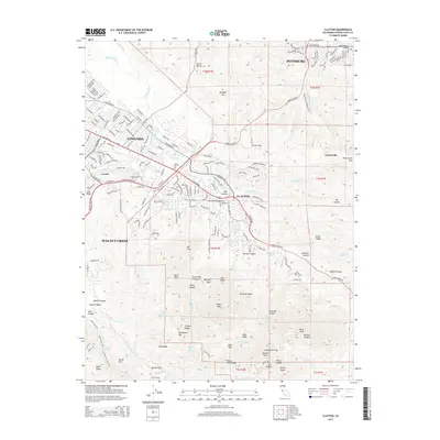
(8)- 2012 Map of Clayton, 2012 Print
 2012 Clayton2012 Print · USGSCovers Limeridge, including Concord, Pittsburg, and other nearby areas
 - 2012 Map of Walnut Creek, 2012 Print
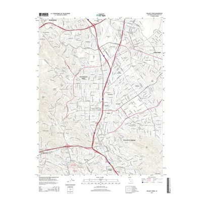
 2012 Walnut Creek2012 Print · USGSCovers Limeridge, including Concord, Walnut Creek, and other nearby areas
 - 2015 Map of Clayton, 2015 Print
 2015 Clayton2015 Print · USGSCovers Limeridge, including Concord, Pittsburg, and other nearby areas
 - 2015 Map of Walnut Creek, 2015 Print
 2015 Walnut Creek2015 Print · USGSCovers Limeridge, including Concord, Walnut Creek, and other nearby areas
 - 2018 Map of Clayton, 2018 Print
 2018 Clayton2018 Print · USGSCovers Limeridge, including Concord, Pittsburg, and other nearby areas
 - 2018 Map of Walnut Creek, 2018 Print
 2018 Walnut Creek2018 Print · USGSCovers Limeridge, including Concord, Walnut Creek, and other nearby areas
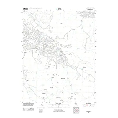
 - 2021 Map of Clayton, 2021 Print
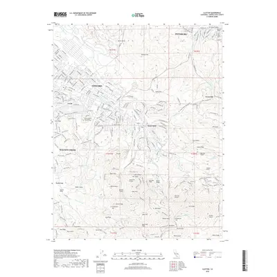
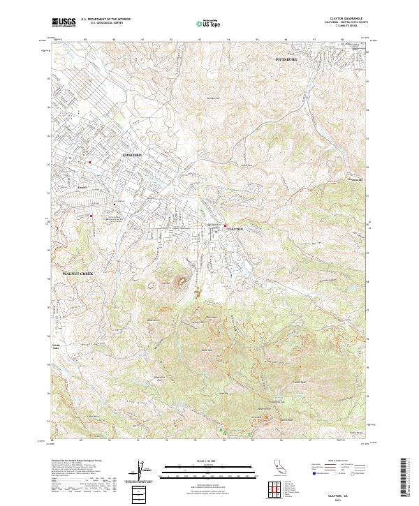 2021 Clayton2021 Print · USGSThe foothills of the Diablo Range meet the expanding suburbs of the East Bay in this recent survey. You can trace the historic mining area near Nortonville, find the Live Oak Cem, or follow the high trails around Mount Diablo and North Peak.
 - 2021 Map of Walnut Creek, 2021 Print
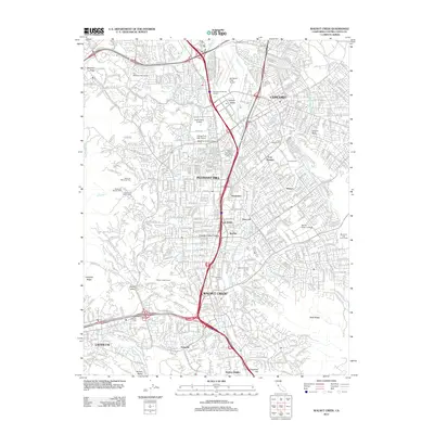
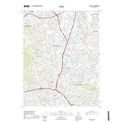
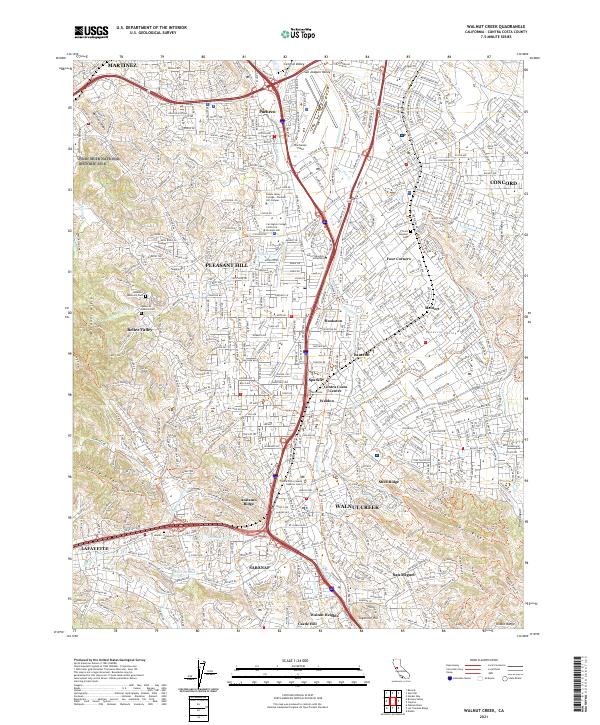 2021 Walnut Creek2021 Print · USGSContra Costa County at the start of the 2020s shows a landscape where suburban growth meets preserved open space. Genealogists and hikers can trace the Iron Horse Regional Trail through WALNUT CREEK and locate landmarks like the Alamo - Lafayette Cemetery.
End of results
Showing maps 1-8 of 8
Frequently asked questions
- What are the different types of historical maps available for Limeridge?
- What is the oldest map of Limeridge?
- Where can I purchase historical maps of Limeridge for my home or office?
- Where can I download high-res historical maps of Limeridge?
- Are there historical topographic maps available for Limeridge?
- Is there historical aerial imagery available for Limeridge?
- Where are historical maps of Limeridge sourced from?