2000s (21st Century) Maps of Cerritos, California
Explore 9 historic maps of Cerritos from the 2000s (21st Century). These maps offer a rare glimpse into what life looked like during the 2000s — showing old roads, neighborhoods, homes, and landmarks that have changed or disappeared over time.
Whether you're researching your family's past, planning a metal detecting trip, or studying how Cerritos's landscape evolved across the 2000s, these high-resolution maps are a powerful tool for exploring the history of this region.
- Focus on a specific era: All maps on this page are from the 2000s, giving you a focused view of this time period.
- See what’s changed: Compare century-old streets, trails, and buildings to today's modern landscape using overlays and satellite layers.
- Research with precision: Use these maps for genealogy, historical research, land use analysis, or educational projects.
- View, download, or print: Maps are fully viewable online in high resolution, and can be downloaded or printed for your own records.
Start exploring Cerritos's history through authentic maps from the 2000s. This is your window into the past.
Cerritos, CA maps
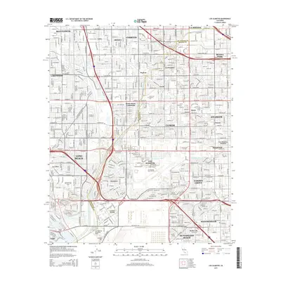
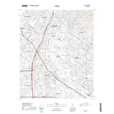
(9)- 2012 Map of Los Alamitos, 2012 Print
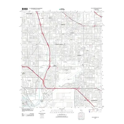 2012 Los Alamitos2012 Print · USGSCovers Cerritos, including Long Beach, Anaheim, and other nearby areas
 - 2012 Map of Whittier, 2012 Print
 2012 Whittier2012 Print · USGSCovers Cerritos, including Downey, Norwalk, and other nearby areas
 - 2015 Map of Los Alamitos, 2015 Print
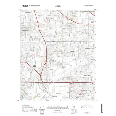
 2015 Los Alamitos2015 Print · USGSCovers Cerritos, including Long Beach, Anaheim, and other nearby areas
 - 2015 Map of Whittier, 2015 Print
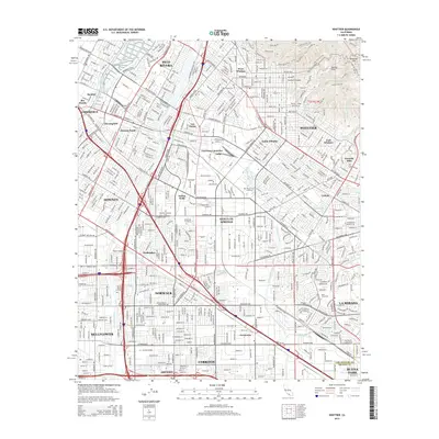 2015 Whittier2015 Print · USGSCovers Cerritos, including Downey, Norwalk, and other nearby areas
 - 2018 Map of Whittier, 2018 Print
 2018 Whittier2018 Print · USGSCovers Cerritos, including Downey, Norwalk, and other nearby areas
 - 2018 Map of Los Alamitos, 2018 Print
 2018 Los Alamitos2018 Print · USGSCovers Cerritos, including Long Beach, Anaheim, and other nearby areas
 - 2021 Map of Los Alamitos, 2021 Print
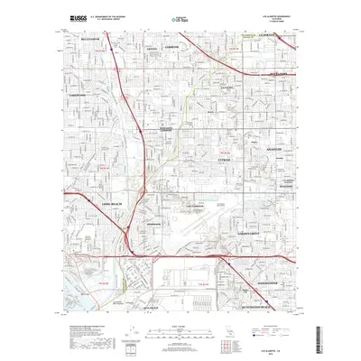
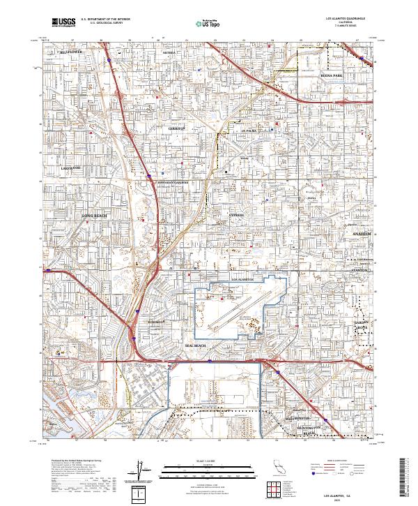
 2021 Los Alamitos2021 Print · USGSCovers Cerritos, including Long Beach, Anaheim, and other nearby areas
 - 2021 Map of Whittier, 2021 Print
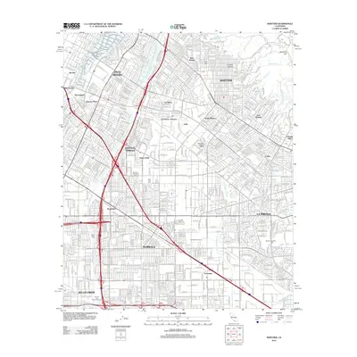
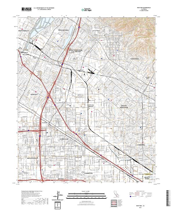 2021 Whittier2021 Print · USGSSoutheastern Los Angeles County is captured in this modern survey, showing the dense residential and academic fabric of the region. Researchers can trace institutional grounds like Whittier College and Biola University alongside landmarks such as Mount Olive Cem.
 - 2023 Map of Los Alamitos, 2023 Print
 2023 Los Alamitos2023 Print · USGSThe Orange and Los Angeles County borderlands are revealed in this modern survey of a bustling coastal plain. Researchers can trace institutional landmarks like Los Alamitos Army Airfield and the Artesia Cem alongside the channelized San Gabriel River.
End of results
Showing maps 1-9 of 9
Top cities near Cerritos
- Los Angeles historical maps
- Long Beach historical maps
- Anaheim historical maps
- Santa Ana historical maps
- Irvine historical maps
- Huntington Beach historical maps
See more
Frequently asked questions
- What are the different types of historical maps available for Cerritos?
- What is the oldest map of Cerritos?
- Where can I purchase historical maps of Cerritos for my home or office?
- Where can I download high-res historical maps of Cerritos?
- Are there historical topographic maps available for Cerritos?
- Is there historical aerial imagery available for Cerritos?
- Where are historical maps of Cerritos sourced from?