Old Maps of Hidden Springs, California for Academic Research
Study the evolution of Hidden Springs with 21 high-resolution historic maps. Whether you're teaching, researching, or modeling changes in land use, these maps provide essential visual documentation of urban, environmental, and geographic change.
- Analyze long-term change: Track patterns in development, transportation, and natural features.
- Ideal for environmental or urban studies: Support academic projects with primary historical map data.
- Use in the classroom or lab: Educators and researchers rely on these maps to bring historical context to life.
These maps are a powerful tool for teaching, research, and visualizing how Hidden Springs has changed over the decades.
Hidden Springs, CA maps
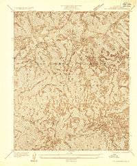
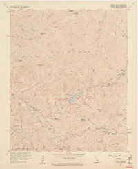
(21)- 1900 Map of Tujunga
 1900 Tujunga1900 Print · USGSThe San Gabriel mountains in the late nineteenth century reveal a landscape of deep canyons and mining outposts. Trace early rail travel through Acton or locate the remote Monte Cristo Mines and Hoyt Ranch within the San Gabriel Timber Land Reserve.7 unique versions available
 - 1901 Map of Southern California Sheet No. 1
 1901 Southern California Sheet No. 11901 Print · USGSGreater Los Angeles at the dawn of the twentieth century is a landscape of growing citrus towns and a burgeoning rail network. Genealogists and historians can trace the early gridded streets of Hollywood and Pasadena or locate landmarks like Bear Lake and the Cahuilla Indian Reservation.6 unique versions available
 - 1904 Map of Southern California Sheet No. 1, 1905 Print
 1904 Southern California Sheet No. 11905 Print · USGSSouthern California at the dawn of the twentieth century shows a landscape of citrus groves and coastal towns connected by rail. Genealogists and historians can trace early settlements like San Juan Capistrano, find remote sites like the Rose Mine, and study the original water systems of the Santa Ana River.2 unique versions available
 - 1935 Map of Mt. Gleason
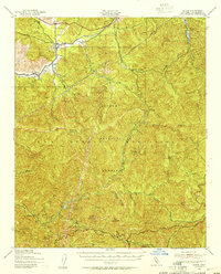
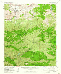
 1935 Mt. Gleason1935 Print · USGSThe high San Gabriel Mountains are captured in the mid-1930s, documenting a remote era of steep canyons and fire management. Researchers can trace early forest infrastructure and family-named sites like Colby Ranch, Messenger Flats, and The Narrows.
 - 1940 Map of Acton, 1955 Print
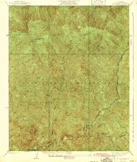
 1940 Acton1955 Print · USGSThe high canyons of the San Gabriel Mountains are captured here during the 1940s, showing the early reach of water infrastructure and mining in the region. Genealogists and historians can trace the Southern Pacific rail line through Acton and Ravenna, or locate remote sites like the Monte Cristo Mine.
 - 1942 Map of Mt. Gleason
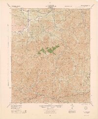
 1942 Mt. Gleason1942 Print · USGSThe San Gabriel Mountains come into sharp focus in the early 1940s, showing a landscape defined by deep canyons and high peaks. Genealogists and researchers can trace the roads to Colby Ranch, explore the area around Mt Gleason, or locate Messenger Flats.4 unique versions available
 - 1944 Map of Tujunga
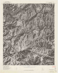
 1944 Tujunga1944 Print · USGSThe high canyons and desert fringes of the San Gabriel Mountains are captured here during the mid-forties. Genealogists and historians can trace the Southern Pacific rail line through Acton or locate the historic Monte Cristo Mines and the Tujunga Dam.
 - 1949 Map of Los Angeles
 1949 Los Angeles1949 Print · USGSSouthern California and the South Coast appear at the onset of the post-war boom, from the Channel Islands to the Mojave Desert. Trace early aviation sites like Lockheed Air Terminal and mining history at the Redrock Quicksilver Mine and Redrover Mine.2 unique versions available
 - 1955 Map of Los Angeles
 1955 Los Angeles1955 Print · USGSThe mid-century transformation of Southern California comes into focus as the urban sprawl of Los Angeles meets the wilderness of the Santa Monica Mountains. Researchers can trace the development of post-war suburbs alongside historic landmarks like the Santa Barbara Lighthouse and early industrial sites such as the Good Luck Mine.
 - 1959 Map of Condor Peak
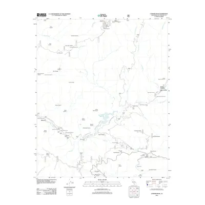
 1959 Condor Peak1959 Print · USGSAngeles National Forest in the late fifties was a landscape of rugged canyons and mountain retreats within the San Gabriel range. You can trace the development of the Big Tujunga Dam or locate seasonal sites like the Burbank YMCA Camp and the Lodestone Mine.7 unique versions available
 - 1959 Map of Los Angeles
 1959 Los Angeles1959 Print · USGSCoastal California and the high desert met in a period of booming growth after the war. Researchers can trace early aviation and military history at the Point Mugu Air Missile Test Ctr or locate desert mining sites like the Double Eagle Mine.3 unique versions available
 - 1959 Map of Acton, 1961 Print
 1959 Acton1961 Print · USGSIn the late fifties, the high country north of Los Angeles balanced a legacy of mining with a new era of forestry and recreation. Map researchers can trace mountain history through sites like the Monte Cristo Mine, Switzers Camp, and the Loomis Ranch.3 unique versions available
 - 1966 Map of Los Angeles
 1966 Los Angeles1966 Print · USGSSouthern California underwent a mid-century transformation as suburban grids reached the base of the San Gabriel Mountains. Researchers can trace the path of the Los Angeles Aqueduct or locate defense landmarks like Edwards Air Force Base.
 - 1975 Map of Los Angeles, 1977 Print
 1975 Los Angeles1977 Print · USGSSouthern California is captured in a period of significant growth during the mid-seventies, showing the urban sprawl from the coast to the high desert. Researchers can trace the development of the Pacific Coast Hwy and find aerospace landmarks like Edwards Air Force Base and the Flight Test Center (NASA).2 unique versions available
 - 1976 Map of Condor Peak
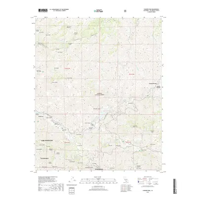
 1976 Condor Peak1976 Print · USGSCovers Hidden Springs, including Los Angeles, Glendale, and other nearby areas
 - 1979 Map of Los Angeles
 1979 Los Angeles1979 Print · USGSSouthern California at the close of the 1970s reveals a sprawling network of suburban growth and massive infrastructure projects. Researchers can trace established rail lines like the Southern Pacific alongside newer settlements and landmarks like Virginia Colony and Griffith Park.
 - 1995 Map of Condor Peak, 1999 Print
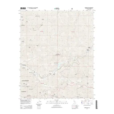
 1995 Condor Peak1999 Print · USGSThe northern reaches of Los Angeles are mapped during the mid-nineties as suburban growth pressed against the steep canyons of the San Gabriel Mountains. Researchers can locate the Big Tujunga Dam, the historic Ybarra Ranch, and remote sites like the Lodestone Mine.
 - 2012 Map of Condor Peak, 2012 Print
 2012 Condor Peak2012 Print · USGSCovers Hidden Springs, including Los Angeles, Glendale, and other nearby areas
 - 2015 Map of Condor Peak, 2015 Print
 2015 Condor Peak2015 Print · USGSCovers Hidden Springs, including Los Angeles, Glendale, and other nearby areas
 - 2018 Map of Condor Peak, 2018 Print
 2018 Condor Peak2018 Print · USGSCovers Hidden Springs, including Los Angeles, Glendale, and other nearby areas
 - 2022 Map of Condor Peak, 2022 Print
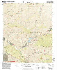
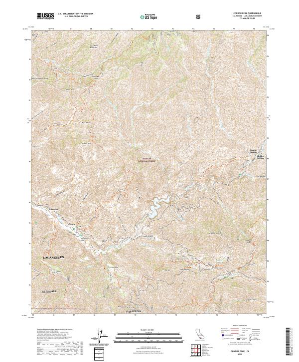 2022 Condor Peak2022 Print · USGSThe high peaks and deep canyons of the San Gabriel Mountains rise above the Los Angeles basin in this modern survey of the National Forest. Hikers and historians can trace the paths of the Gabrielino National Recreation Trl and locate mountain enclaves like Vogel Flat or Singing Springs.
End of results
Showing maps 1-21 of 21
Top cities near Hidden Springs
- Los Angeles historical maps
- Glendale historical maps
- Palmdale historical maps
- Pasadena historical maps
- El Monte historical maps
- Burbank historical maps
See more
Frequently asked questions
- What are the different types of historical maps available for Hidden Springs?
- What is the oldest map of Hidden Springs?
- Where can I purchase historical maps of Hidden Springs for my home or office?
- Where can I download high-res historical maps of Hidden Springs?
- Are there historical topographic maps available for Hidden Springs?
- Is there historical aerial imagery available for Hidden Springs?
- Where are historical maps of Hidden Springs sourced from?