Old Maps of Northridge South Neighborhood Council District, Los Angeles
Explore 36 old maps of Northridge South Neighborhood Council District, spanning from 1894 to today. These high-resolution historic maps reveal how streets, neighborhoods, landmarks, and natural features evolved over time — perfect for genealogy, metal detecting, research, and local history exploration.
What you can do with these maps:
- See how Northridge South Neighborhood Council District changed over time: Compare historical maps to modern-day views to trace roads, homesites, rail lines & more.
- View detailed metadata: Each map includes creators, publishers, year, scale, and archive source.
- Overlay maps with satellite & LiDAR: Visualize the past alongside modern tools to explore terrain & human change.
- Trusted historical sources: Maps sourced from the USGS, Library of Congress, and other archives.
- Access maps your way: View online, download high-res files, or order prints for personal or research use.
Start exploring old maps of Northridge South Neighborhood Council District to uncover forgotten places, hidden landmarks, and the deep history beneath your feet.
Northridge South Neighborhood Council District, Los Angeles maps
(36)- 1894 Map of Los Angeles
 1894 Los Angeles1894 Print · USGSLos Angeles was a growing rail hub at the end of the nineteenth century, balancing its agricultural heritage with new mountain resorts. Researchers can trace early neighborhoods like Boyle Heights, find the National Soldiers Home, or follow the Mt. Lowe Hotel incline.
 - 1896 Map of Santa Monica
 1896 Santa Monica1896 Print · USGSBefore the film industry arrived, this area was a patchwork of Spanish ranchos and emerging rail towns during the late nineteenth century. You can trace early landmarks like the National Soldiers Home, the fledgling streets of Hollywood, and the sprawling Ex Mission San Fernando boundary.
 - 1898 Map of Santa Monica
 1898 Santa Monica1898 Print · USGSCoastal Los Angeles and the San Fernando Valley appear here in the 1890s, when Spanish ranchos still defined the land alongside emerging rail towns. Researchers can trace the early streets of Hollywood, the rail junction at Burbank, and the grounds of the National Soldiers Home.
 - 1900 Map of Los Angeles
 1900 Los Angeles1900 Print · USGSGreater Los Angeles was a mosaic of expansive ranchos and emerging rail towns at the turn of the century. You can trace the early footprints of Hollywood, locate the historic Soldiers Home, and follow the mountain rails to the Echo Mountain Mt. Lowe Hotel.4 unique versions available
 - 1901 Map of Southern California Sheet No. 1
 1901 Southern California Sheet No. 11901 Print · USGSGreater Los Angeles at the dawn of the twentieth century is a landscape of growing citrus towns and a burgeoning rail network. Genealogists and historians can trace the early gridded streets of Hollywood and Pasadena or locate landmarks like Bear Lake and the Cahuilla Indian Reservation.6 unique versions available
 - 1902 Map of Santa Monica
 1902 Santa Monica1902 Print · USGSThe Los Angeles basin is shown here just as the old rancho boundaries began to give way to early suburban developments like Hollywood and Santa Monica. Genealogists and historians can trace the early rail networks, the grounds of the Soldiers Home, and vanished place names like Sherman and Tropico.4 unique versions available
 - 1903 Map of Calabasas
 1903 Calabasas1903 Print · USGSThe northern reaches of the Santa Monica Mountains and the western San Fernando Valley are shown here at the turn of the century. Genealogists and historians can trace early ranch boundaries like Encino and Las Virgenes, or locate the original sites of Grape Arbor and the Chatsworth Park Branch railroad.8 unique versions available
 - 1903 Map of Camulos
 1903 Camulos1903 Print · USGSSouthern California at the dawn of the twentieth century shows a landscape of ranchos and early rail towns. Trace the old routes through Simi and Camulos, or locate vanished stops like Ternez Siding and the coastal piers at Port Los Angeles.5 unique versions available
 - 1904 Map of Southern California Sheet No. 1, 1905 Print
 1904 Southern California Sheet No. 11905 Print · USGSSouthern California at the dawn of the twentieth century shows a landscape of citrus groves and coastal towns connected by rail. Genealogists and historians can trace early settlements like San Juan Capistrano, find remote sites like the Rose Mine, and study the original water systems of the Santa Ana River.2 unique versions available
 - 1920 Map of Santa Monica
 1920 Santa Monica1920 Print · USGSThe Los Angeles basin and San Fernando Valley are captured here just after the war as agriculture gives way to early suburban sprawl. Genealogists and historians can trace the early grids of Beverly Hills, Sawtelle, and Van Nuys alongside the sprawling Salt Lake Oil Fields.
 - 1921 Map of Santa Monica
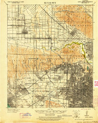 1921 Santa Monica1921 Print · USGSLos Angeles and the San Fernando Valley are captured here just as the suburban boom began to accelerate. Genealogists and researchers can trace the rail-connected origins of Lankershim, Universal City, and the Salt Lake Oil Fields.3 unique versions available
 - 1927 Map of Pacoima
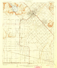 1927 Pacoima1927 Print · USGSThe northern San Fernando Valley is seen here during the mid-1920s as early citrus groves and ranch lands began giving way to a modern street grid. Researchers can trace the layout of early communities like Mission Acres and Pacoima or locate the historic grounds of the San Fernando Mission.4 unique versions available
 - 1928 Map of Zelzah
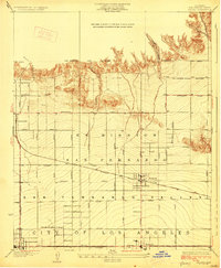 1928 Zelzah1928 Print · USGSThe San Fernando Valley was transitioning from vast ranchos to specialized farming and suburban tracts in the late 1920s. Trace the early rail-connected settlements of Zelzah and Owensmouth alongside the unique Weeks Poultry Colony.
 - 1929 Map of Zelzah
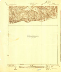 1929 Zelzah1929 Print · USGSThe northern San Fernando Valley is shown here just before the era of major suburban density, when deep canyons still dominated the landscape. Genealogists and hikers can trace the early layout of Twin Lakes Park and the original path of Rinaldi Street.
 - 1932 Map of Zelzah
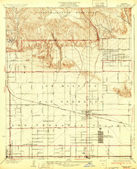 1932 Zelzah1932 Print · USGSThe San Fernando Valley is seen here during its agricultural peak in the early thirties, just as early poultry colonies were defining the local economy. Genealogists and historians can trace the foundations of Canoga Park and Reseda, alongside unique sites like the Runnymede Poultry Colony.
 - 1941 Map of Zelzah
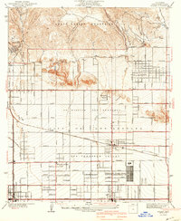 1941 Zelzah1941 Print · USGSThe San Fernando Valley is seen here in a pivotal pre-war era of agricultural colonies and early suburban plats. Researchers can trace the layout of the Runnymede Poultry Colony, the transition at Zelzah Northridge PO and Sta, and legacy holdings like Marwyck Ranch.2 unique versions available
 - 1944 Map of Calabasas
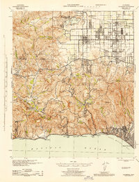 1944 Calabasas1944 Print · USGSMid-century Los Angeles County unfolds here, showing the grid of the San Fernando Valley meeting the Santa Monica Mountains. Trace old ranch boundaries at Platt Ranch or locate early landmarks like the Will Rogers Memorial and Topanga Lookout.
 - 1949 Map of Los Angeles
 1949 Los Angeles1949 Print · USGSSouthern California and the South Coast appear at the onset of the post-war boom, from the Channel Islands to the Mojave Desert. Trace early aviation sites like Lockheed Air Terminal and mining history at the Redrock Quicksilver Mine and Redrover Mine.2 unique versions available
 - 1952 Map of Canoga Park, 1954 Print
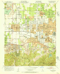 1952 Canoga Park1954 Print · USGSThe San Fernando Valley is shown during its post-war growth, transitioning from citrus groves and ranches to a bustling suburban grid. Genealogists and historians can locate dozens of mid-century schools, the Southern Pacific line, and sites like the RKO Ranch.7 unique versions available
 - 1953 Map of Van Nuys, 1955 Print
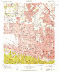 1953 Van Nuys1955 Print · USGSThe San Fernando Valley enters its boom years in the early fifties, showing the transition from agricultural land to iconic suburban neighborhoods. Trace the early footprints of REPUBLIC STUDIO, the LOCKHEED AIR TERMINAL, and neighborhood landmarks like WAR MEMORIAL PARK.2 unique versions available
 - 1955 Map of Los Angeles
 1955 Los Angeles1955 Print · USGSThe mid-century transformation of Southern California comes into focus as the urban sprawl of Los Angeles meets the wilderness of the Santa Monica Mountains. Researchers can trace the development of post-war suburbs alongside historic landmarks like the Santa Barbara Lighthouse and early industrial sites such as the Good Luck Mine.
 - 1959 Map of Los Angeles
 1959 Los Angeles1959 Print · USGSCoastal California and the high desert met in a period of booming growth after the war. Researchers can trace early aviation and military history at the Point Mugu Air Missile Test Ctr or locate desert mining sites like the Double Eagle Mine.3 unique versions available
 - 1966 Map of Los Angeles
 1966 Los Angeles1966 Print · USGSSouthern California underwent a mid-century transformation as suburban grids reached the base of the San Gabriel Mountains. Researchers can trace the path of the Los Angeles Aqueduct or locate defense landmarks like Edwards Air Force Base.
 - 1966 Map of Van Nuys, 1968 Print
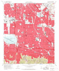 1966 Van Nuys1968 Print · USGSThe San Fernando Valley of the mid-sixties is a landscape of rapid suburban growth and massive infrastructure projects. Researchers can trace the legacy of local institutions from Van Nuys Airport to the Los Encinos State Historical Monument.4 unique versions available
 - 1975 Map of Los Angeles, 1977 Print
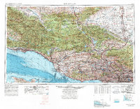 1975 Los Angeles1977 Print · USGSSouthern California is captured in a period of significant growth during the mid-seventies, showing the urban sprawl from the coast to the high desert. Researchers can trace the development of the Pacific Coast Hwy and find aerospace landmarks like Edwards Air Force Base and the Flight Test Center (NASA).2 unique versions available
Showing maps 1-25 of 36
Frequently asked questions
- What are the different types of historical maps available for Northridge South Neighborhood Council District?
- What is the oldest map of Northridge South Neighborhood Council District?
- Where can I purchase historical maps of Northridge South Neighborhood Council District for my home or office?
- Where can I download high-res historical maps of Northridge South Neighborhood Council District?
- Are there historical topographic maps available for Northridge South Neighborhood Council District?
- Is there historical aerial imagery available for Northridge South Neighborhood Council District?
- Where are historical maps of Northridge South Neighborhood Council District sourced from?