2000s (21st Century) Maps of Coarsegold, California
Explore 5 historic maps of Coarsegold from the 2000s (21st Century). These maps offer a rare glimpse into what life looked like during the 2000s — showing old roads, neighborhoods, homes, and landmarks that have changed or disappeared over time.
Whether you're researching your family's past, planning a metal detecting trip, or studying how Coarsegold's landscape evolved across the 2000s, these high-resolution maps are a powerful tool for exploring the history of this region.
- Focus on a specific era: All maps on this page are from the 2000s, giving you a focused view of this time period.
- See what’s changed: Compare century-old streets, trails, and buildings to today's modern landscape using overlays and satellite layers.
- Research with precision: Use these maps for genealogy, historical research, land use analysis, or educational projects.
- View, download, or print: Maps are fully viewable online in high resolution, and can be downloaded or printed for your own records.
Start exploring Coarsegold's history through authentic maps from the 2000s. This is your window into the past.
Coarsegold, CA maps
(5)- 2004 Map of Ahwahnee, 2007 Print
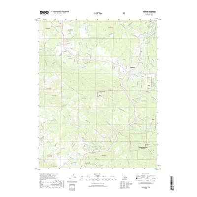
 2004 Ahwahnee2007 Print · USGSThe foothills of Madera County come alive in this early 2000s study of the region's historic mining and cultural landscapes. Genealogists and historians can trace the legacy of local industry through the Rich Hill and Texas Flat mines or locate heritage sites like Wassama School and the Wassama Roundhouse.2 unique versions available
 - 2012 Map of Ahwahnee, 2012 Print
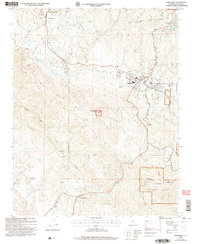
 2012 Ahwahnee2012 Print · USGSCovers Coarsegold, including Oakhurst, Yosemite Forks, and other nearby areas
 - 2015 Map of Ahwahnee, 2015 Print
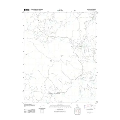
 2015 Ahwahnee2015 Print · USGSCovers Coarsegold, including Oakhurst, Yosemite Forks, and other nearby areas
 - 2018 Map of Ahwahnee, 2018 Print
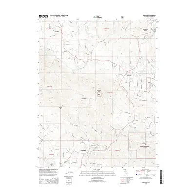
 2018 Ahwahnee2018 Print · USGSCovers Coarsegold, including Oakhurst, Yosemite Forks, and other nearby areas
 - 2021 Map of Ahwahnee, 2021 Print
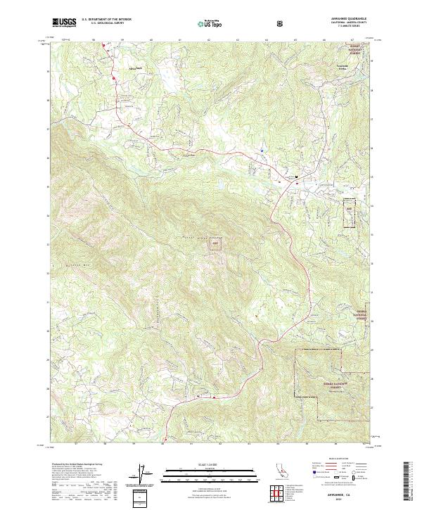 2021 Ahwahnee2021 Print · USGSAhwahnee and the Madera County foothills are captured in 2021 as they transition into the Sierra National Forest. Local historians can trace family connections at the Oakhill Cem District and explore mining history at the Texas Flat Mines.
End of results
Showing maps 1-5 of 5
Top cities near Coarsegold
Frequently asked questions
- What are the different types of historical maps available for Coarsegold?
- What is the oldest map of Coarsegold?
- Where can I purchase historical maps of Coarsegold for my home or office?
- Where can I download high-res historical maps of Coarsegold?
- Are there historical topographic maps available for Coarsegold?
- Is there historical aerial imagery available for Coarsegold?
- Where are historical maps of Coarsegold sourced from?