Old Maps of Dos Palos, California
Explore 20 old maps of Dos Palos, spanning from 1913 to today. These high-resolution historic maps reveal how streets, neighborhoods, landmarks, and natural features evolved over time — perfect for genealogy, metal detecting, research, and local history exploration.
What you can do with these maps:
- See how Dos Palos changed over time: Compare historical maps to modern-day views to trace roads, homesites, rail lines & more.
- View detailed metadata: Each map includes creators, publishers, year, scale, and archive source.
- Overlay maps with satellite & LiDAR: Visualize the past alongside modern tools to explore terrain & human change.
- Trusted historical sources: Maps sourced from the USGS, Library of Congress, and other archives.
- Access maps your way: View online, download high-res files, or order prints for personal or research use.
Start exploring old maps of Dos Palos to uncover forgotten places, hidden landmarks, and the deep history beneath your feet.
Dos Palos, CA maps
(20)- 1913 Map of Panoche
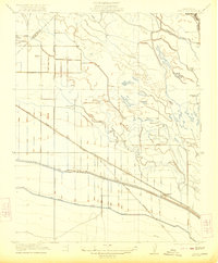
 1913 Panoche1913 Print · USGSThe San Joaquin Valley and its ranching foothills appear in the early twentieth century before modern expansion. Genealogists can find remote rural schools and outposts like Mercy School, Laguna Seca Ranch, and the Mercy Mine.4 unique versions available
 - 1922 Map of Oxalis
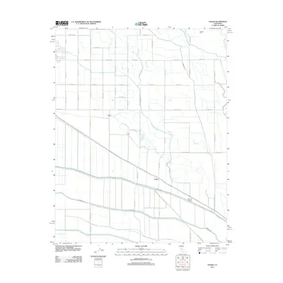
 1922 Oxalis1922 Print · USGSThe Fresno and Merced borderlands are captured here in the early twenties during a period of significant irrigation and ranching expansion. Local historians can trace the foundations of the regional economy through the San Joaquin River canals and operations like Hog Ranch and Oxalis.3 unique versions available
 - 1922 Map of Dos Palos
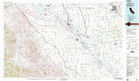
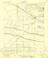 1922 Dos Palos1922 Print · USGSThe San Joaquin Valley comes into focus in the early twenties as irrigation and rail infrastructure transformed the landscape. Map collectors can trace the San Joaquin and Kings River Canal alongside the Old Southern Pacific Grade and the settlement at Oro Loma.2 unique versions available
 - 1948 Map of Santa Cruz
 1948 Santa Cruz1948 Print · USGSThe Central Coast and San Joaquin Valley meet in this mid-century look at the region's agricultural and military geography. Genealogists and historians can trace the paths of El Camino Real, locate family farms near Hollister, or study the footprint of the Fort Ord Military Reservation.2 unique versions available
 - 1955 Map of Santa Cruz
 1955 Santa Cruz1955 Print · USGSCoastal Monterey Bay and the fertile Salinas Valley are captured here during the post-war expansion of the mid-fifties. Researchers can trace the era's rail-and-road network via the Southern Pacific lines and find landmarks like Fort Ord or the Lonoak School.
 - 1956 Map of Oxalis, 1957 Print
 1956 Oxalis1957 Print · USGSThe border of Merced and Fresno counties in the mid-1950s reveals a productive landscape of ranches and rail lines. Trace family roots and local industry through Dos Palos, the Joint Union H S, and the Silaxo Oil Pumping Sta.4 unique versions available
 - 1956 Map of Dos Palos, 1957 Print
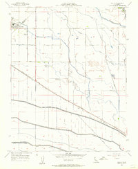
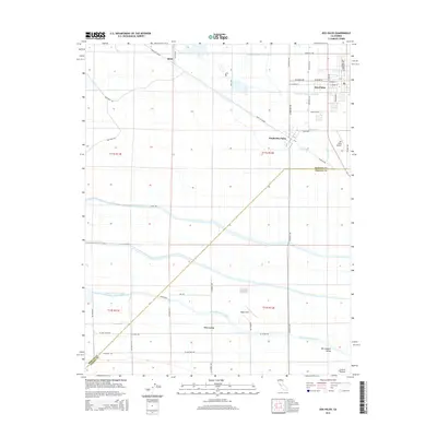
 1956 Dos Palos1957 Print · USGSThe San Joaquin Valley comes into focus during the mid-fifties, showing an intricate web of irrigation and rail transit. Trace family roots at Dos Palos, find the Charleston School, or locate the Eagle Field Airport and various hunt clubs.4 unique versions available
 - 1957 Map of Santa Cruz
 1957 Santa Cruz1957 Print · USGSCentral California comes into sharp focus during the late fifties, from the fog-swept Monterey Bay to the sun-drenched San Joaquin Valley. Genealogists and historians can trace the mid-century footprints of Fort Ord Military Reservation, the Southern Pacific line, and the historic streets of San Juan Bautista.
 - 1958 Map of Santa Cruz
 1958 Santa Cruz1958 Print · USGSCoastal California and the central valleys are shown during the mid-fifties, capturing a landscape of massive military reserves and vital rail arteries. Genealogists and historians can trace the Southern Pacific line through Salinas or explore the early footprints of the Fort Ord Military Reservation and San Juan Bautista.2 unique versions available
 - 1965 Map of Santa Cruz, 1968 Print
 1965 Santa Cruz1968 Print · USGSThe Central Coast and San Joaquin Valley meet here during the mid-sixties, capturing the growth of agricultural and coastal hubs. Trace the historic Southern Pacific RR lines and locate sites like the Presidio of Monterey or Pinnacles National Monument.
 - 1974 Map of Monterey, 1977 Print
 1974 Monterey1977 Print · USGSThe Central Coast and San Joaquin Valley meet in this mid-seventies survey of the Monterey region. Genealogists and historians can locate Spanish-era sites like the San Antonio de Padua Mission, early industrial markers such as the New Idria Mine, and coastal landmarks like the Point Sur Lighthouse.
 - 1982 Map of Mendota, 1983 Print
 1982 Mendota1983 Print · USGSThe Central Valley's massive water-moving infrastructure is in full view during the early eighties, from the San Joaquin River to the California Aqueduct. Researchers can trace the Southern Pacific rail lines through towns like Mendota, Firebaugh, and Tranquillity.2 unique versions available
 - 2012 Map of Dos Palos, 2012 Print
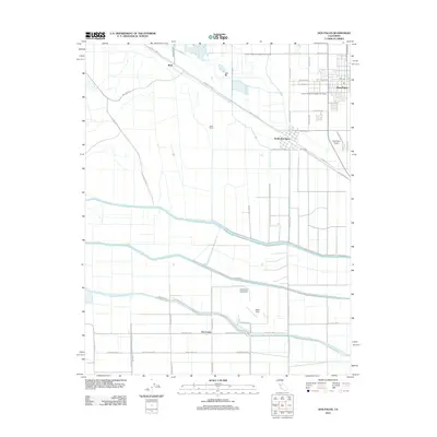 2012 Dos Palos2012 Print · USGSCovers Dos Palos, including South Dos Palos, Oro Loma, and other nearby areas
 - 2012 Map of Oxalis, 2012 Print
 2012 Oxalis2012 Print · USGSCovers Dos Palos, including Fresno County, Merced County, and other nearby areas
 - 2015 Map of Dos Palos, 2015 Print
 2015 Dos Palos2015 Print · USGSCovers Dos Palos, including South Dos Palos, Oro Loma, and other nearby areas
 - 2015 Map of Oxalis, 2015 Print
 2015 Oxalis2015 Print · USGSCovers Dos Palos, including Fresno County, Merced County, and other nearby areas
 - 2018 Map of Oxalis, 2018 Print
 2018 Oxalis2018 Print · USGSCovers Dos Palos, including Fresno County, Merced County, and other nearby areas
 - 2018 Map of Dos Palos, 2018 Print
 2018 Dos Palos2018 Print · USGSCovers Dos Palos, including South Dos Palos, Oro Loma, and other nearby areas
 - 2021 Map of Oxalis, 2021 Print
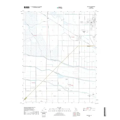
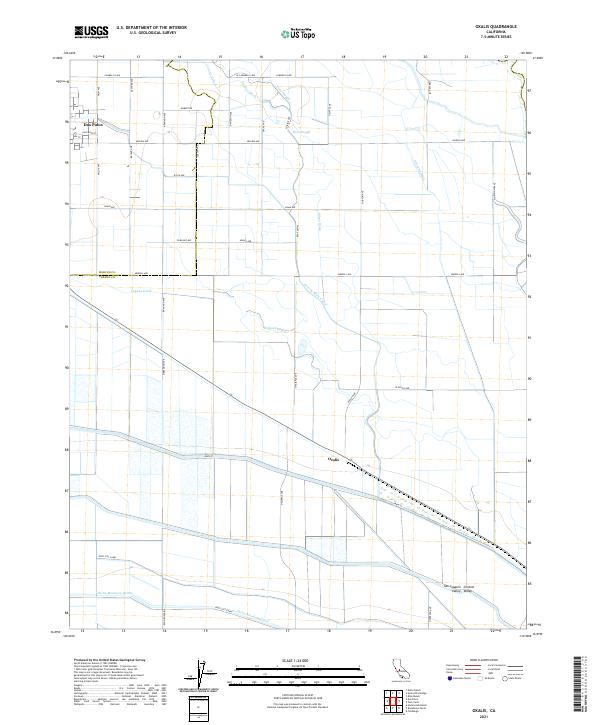 2021 Oxalis2021 Print · USGSThe Central Valley's intensive agricultural and water management systems are on full display in this recent look at the Fresno and Merced county border. Researchers can trace the engineering of the Delta-Mendota Canal and find local landmarks like Dos Palos and Oxalis.
 - 2021 Map of Dos Palos, 2021 Print
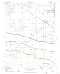
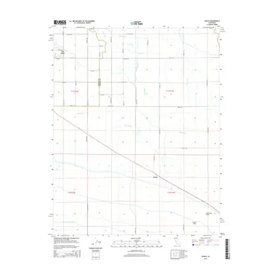
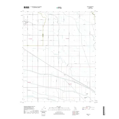
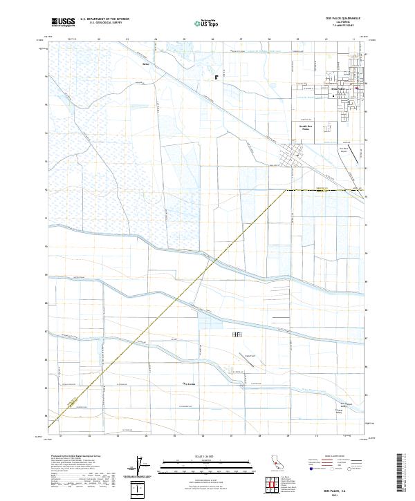 2021 Dos Palos2021 Print · USGSThe San Joaquin Valley landscape around Dos Palos is shown here in its modern agricultural configuration. Researchers can trace irrigation networks like the Delta-Mendota Canal or locate local landmarks including Eagle Field and the Dos Palos Cem.
End of results
Showing maps 1-20 of 20
Top cities near Dos Palos
Frequently asked questions
- What are the different types of historical maps available for Dos Palos?
- What is the oldest map of Dos Palos?
- Where can I purchase historical maps of Dos Palos for my home or office?
- Where can I download high-res historical maps of Dos Palos?
- Are there historical topographic maps available for Dos Palos?
- Is there historical aerial imagery available for Dos Palos?
- Where are historical maps of Dos Palos sourced from?