
1922 Map of Oxalis
USGS Topo · Published 1922About this map
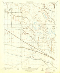
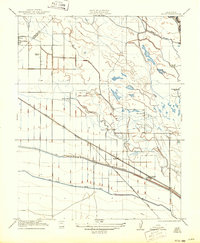
Agricultural development and early irrigation systems dominate this Central Valley landscape, surveyed just after the Great War. The western edge is defined by Dos Palos, while large-scale livestock and farming operations like Holland Farm, Silaxo Farm, and the Golden Hoof Ranch are scattered across the terrain. These properties relied on an intricate network of waterways, most notably the San Joaquin and Kings River Canal and its older counterpart, which run parallel to the Southern Pacific railroad line.
Find a feature on this map
17 named features on this map. Tap any name to fly to it.
Don’t see what you’re looking for? This feature index may not catch every label — zoom into the map to look around manually.
Map Details
Editions of this 1922 Oxalis Map
3 editions found
Other maps of this area

1913 · Panoche
USGS Topo · 1:125,000

1916 · Santa Rita Bridge
USGS Topo · 1:24,000

1916 · Delta Ranch
USGS Topo · 1:24,000

1918 · Bliss Ranch
USGS Topo · 1:31,680

1920 · Santa Rita Bridge
USGS Topo · 1:31,680

1922 · Santa Rita Bridge
USGS Topo · 1:31,680

1922 · Dos Palos
USGS Topo · 1:31,680

1922 · Pozo Farm
USGS Topo · 1:31,680
1922 · Delta Ranch
USGS Topo · 1:31,680

1923 · Wisdom Well
USGS Topo · 1:31,680