Old Maps of Lockwood, California
Explore 16 old maps of Lockwood, spanning from 1919 to today. These high-resolution historic maps reveal how streets, neighborhoods, landmarks, and natural features evolved over time — perfect for genealogy, metal detecting, research, and local history exploration.
What you can do with these maps:
- See how Lockwood changed over time: Compare historical maps to modern-day views to trace roads, homesites, rail lines & more.
- View detailed metadata: Each map includes creators, publishers, year, scale, and archive source.
- Overlay maps with satellite & LiDAR: Visualize the past alongside modern tools to explore terrain & human change.
- Trusted historical sources: Maps sourced from the USGS, Library of Congress, and other archives.
- Access maps your way: View online, download high-res files, or order prints for personal or research use.
Start exploring old maps of Lockwood to uncover forgotten places, hidden landmarks, and the deep history beneath your feet.
Lockwood, CA maps
(16)- 1919 Map of Bryson
 1919 Bryson1919 Print · USGSMonterey and San Luis Obispo counties appear here at the end of the Great War, showing a ranching landscape defined by the San Antonio and Nacimiento rivers. Researchers can locate remote schoolhouses like Pinkerton School and the high-elevation Quicksilver Mine.5 unique versions available
 - 1941 Map of Bryson
 1941 Bryson1941 Print · USGSThe Santa Lucia Range and the valley of the Nacimiento River come into focus in this early 1940s survey. Genealogists can locate family holdings like Graves Ranch or Davis Ranch and study local education at Hesperia School.
 - 1942 Map of Bryson
 1942 Bryson1942 Print · USGSCoastal range foothills and river valleys are shown here during the early years of the war, as military holdings expanded over historic ranch lands. Researchers can trace the boundaries of the Hunter Liggett Military Reservation and locate old landmarks like the Quicksilver Mine and Playa School.
 - 1947 Map of San Luis Obispo, 1948 Print
 1947 San Luis Obispo1948 Print · USGSCoastal California at the dawn of the Cold War reveals a landscape of massive military reservations and quiet seaside towns. Genealogists and researchers can trace the Southern Pacific rail line, old mining sites like Los Burros Mine, and local landmarks from Point Buchon to the Carrizo Plain.
 - 1948 Map of San Luis Obispo
 1948 San Luis Obispo1948 Print · USGSCentral Coast life in the late 1940s is centered on the Southern Pacific rail line and expanding military bases. Genealogists can trace early rural life through Union School and local operations like the Klau Mine or Buena Vista Mine.
 - 1948 Map of Bryson, 1957 Print
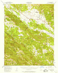 1948 Bryson1957 Print · USGSCoastal California’s interior valleys and mountains are shown here in the late forties during a time of significant military occupation. Trace family roots and old landmarks from Jolon to Lockwood, including the Pleyto Sch and Smith Ranch.2 unique versions available
 - 1949 Map of Williams Hill, 1953 Print
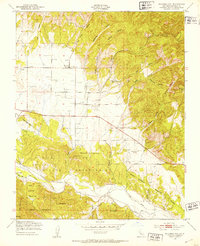 1949 Williams Hill1953 Print · USGSMonterey County ranching and military lands are captured here in the late nineteen-forties, showing a landscape defined by water-security and defense. Genealogists and historians can trace Lockwood and Martinus Corner, as well as the San Antonio Union Sch and local Cem.4 unique versions available
 - 1956 Map of San Luis Obispo, 1963 Print
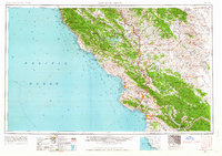 1956 San Luis Obispo1963 Print · USGSCentral California coastal and valley life unfolds in the mid-fifties, from the shoreline of Pismo Beach to the arid Carrizo Plain. Trace early travel routes along the Southern Pacific RR or locate family sites near the Templeton Cemetery and Paso Robles County Cemetery.5 unique versions available
 - 1957 Map of San Luis Obispo
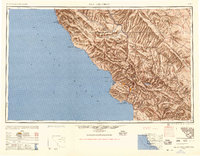 1957 San Luis Obispo1957 Print · USGSCoastal California in the late fifties is defined by the steep Santa Lucia Range and the rail-connected hub of San Luis Obispo. Genealogists and researchers can trace rural life via Union School, the Southern Pacific line, and old sites like the Polar Star Mine.
 - 1958 Map of San Luis Obispo
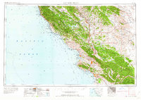 1958 San Luis Obispo1958 Print · USGSThe Central Coast in the late fifties reveals a landscape of ranching and early tourism before the massive expansion of the modern era. Trace the path of the Southern Pacific through Atascadero or locate family roots in coastal towns like Cayucos and Cambria.
 - 1961 Map of Bryson, 1968 Print
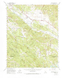 1961 Bryson1968 Print · USGSCoastal range foothills and river valleys of Monterey County come into focus in the 1960s as military and rural life intersect. Genealogists can trace the locales of Jolon, Lockwood, and Bryson, alongside institutions like the San Antonio Union Sch and Pleyto Sch.
 - 1980 Map of Cambria
 1980 Cambria1980 Print · USGSThe Central Coast in the early eighties shows a landscape of grand estates and isolated seaside outposts. Trace family roots and local history through the coastal village of Cambria, the Hearst Castle grounds, and the historic Lighthouse at Piedras Blancas.2 unique versions available
 - 2012 Map of Williams Hill, 2012 Print
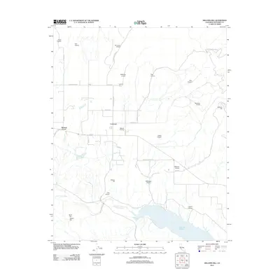 2012 Williams Hill2012 Print · USGSCoastal Monterey County is captured here in the early 2010s, where the rural settlement of Lockwood meets the ridges of the Santa Lucia Range. Researchers can locate the Lockwood Cem, trace the shoreline of Lake San Antonio, and explore family-named landmarks like Martinus Corner.
 - 2015 Map of Williams Hill, 2015 Print
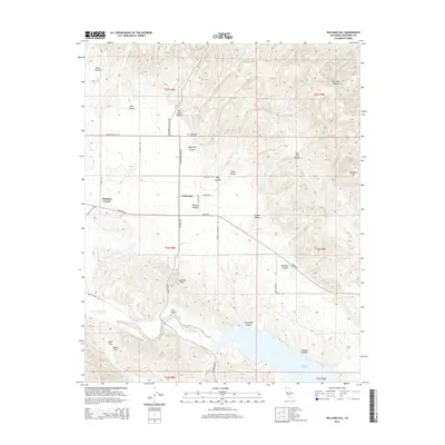 2015 Williams Hill2015 Print · USGSIn this 2015 survey of southern Monterey County, the rural community of Lockwood is captured at the crossroads of a winding canyon landscape. Genealogists and local historians can trace family-named landmarks including Lockwood Cemetery, Martinus Corner, and Nelson Flat.
 - 2018 Map of Williams Hill, 2018 Print
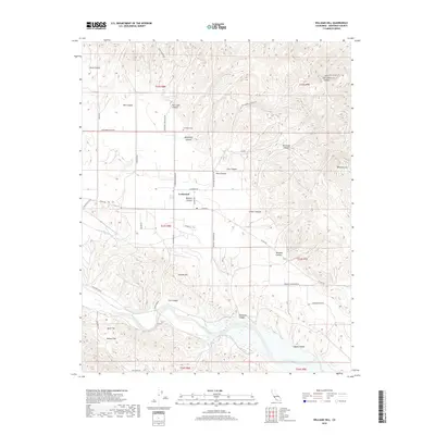 2018 Williams Hill2018 Print · USGSLockwood and its surrounding Monterey County foothills are detailed in this 2018 survey. Genealogists and local historians can locate the Lockwood Cem and trace rural routes between San Antonio River and Williams Hill.
 - 2021 Map of Williams Hill, 2021 Print
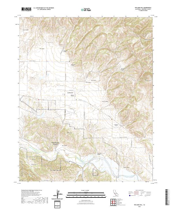 2021 Williams Hill2021 Print · USGSSouthern Monterey County unfolds across this contemporary survey of the high ridges and deep canyons surrounding Lockwood. Genealogists and local historians can trace family-named landmarks and routes through San Lucas Canyon, Paulsen Cem, and along the San Antonio River.
End of results
Showing maps 1-16 of 16
Frequently asked questions
- What are the different types of historical maps available for Lockwood?
- What is the oldest map of Lockwood?
- Where can I purchase historical maps of Lockwood for my home or office?
- Where can I download high-res historical maps of Lockwood?
- Are there historical topographic maps available for Lockwood?
- Is there historical aerial imagery available for Lockwood?
- Where are historical maps of Lockwood sourced from?