Old Maps of American Canyon, California for Hiking & Exploration
Hike through history with 25 historic maps of American Canyon. Explore old trails, ghost towns, and forgotten backroads — perfect for outdoor adventurers and local explorers.
- Rediscover forgotten places: Map out old mining camps, roads, and footpaths that no longer exist on modern maps.
- Layer with modern tools: Combine with LiDAR or satellite views to plan hikes through historical terrain.
- Made for exploration: Popular among hikers, overlanders, and local history lovers.
Use these maps to find adventure and explore the hidden past of American Canyon.
American Canyon, CA maps
(25)- 1896 Map of Carquinez Strait, 1954 Print
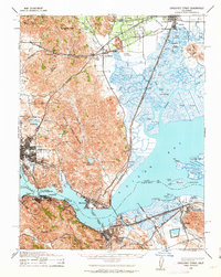
 1896 Carquinez Strait1954 Print · USGSThe industrial waterfront of the Carquinez Strait comes alive in the 1890s, where shipping channels meet the rails. Genealogists and historians can trace early bay settlements from the U.S. Arsenal at Benicia to the rail hubs of Vallejo and Martinez.
 - 1898 Map of Karquines
 1898 Karquines1898 Print · USGSThe Karquines Strait and Suisun Bay served as a bustling maritime and rail crossroads in the late nineteenth century. Researchers can trace the early layouts of Benicia, Vallejo, and Martinez, or locate vanished landmarks like Seal Bluff Landing and the U.S. Arsenal.
 - 1901 Map of Karquines
 1901 Karquines1901 Print · USGSNorthern California at the dawn of the twentieth century shows a landscape defined by the deep-water Karquines Strait and industrial rail hubs. Researchers can trace the waterfront activity of Benicia, Vallejo, and Martinez or the tidal marsh outposts at Drawbridge and Rush Landing.6 unique versions available
 - 1902 Map of Napa
 1902 Napa1902 Print · USGSThe Napa Valley and Carquinez Strait are captured at the turn of the century, showing a landscape defined by maritime military posts and early vineyards. Genealogists and historians can trace the Mare Island Navy Yard, the Insane Asylum, and rail stops at Zinfandel and Rutherford.6 unique versions available
 - 1916 Map of Mare Island
 1916 Mare Island1916 Print · USGSThe northern San Pablo Bay region comes alive in this survey, showcasing a landscape of tidal marshes and rail-driven growth during the mid-1910s. Researchers can trace the layout of the Mare Island Navy Yard, the remote rail stop at Wingo, and the rural classrooms of Fly School.4 unique versions available
 - 1940 Map of Carquinez Strait, 1963 Print
 1940 Carquinez Strait1963 Print · USGSThe industrial waterfronts of Solano and Contra Costa counties are captured here just before the mid-century boom. Genealogists and historians can trace the rail-and-water networks of Port Costa, Benicia, and Vallejo, or locate landmarks like the Carquinez Cem and the Benicia Auto Ferry.2 unique versions available
 - 1942 Map of Mare Island
 1942 Mare Island1942 Print · USGSThe northern reaches of San Pablo Bay come alive in this wartime survey, showing a landscape of vital naval yards and marshland agriculture. Genealogists and historians can trace rail depots like Napa Junction, rural landmarks like American Canyon School, and the industrial waterfronts of Vallejo and Oleum.
 - 1942 Map of Carquinez
 1942 Carquinez1942 Print · USGSThe industrial waterfront of the Carquinez Strait is captured here during the early years of the war. Researchers can trace the complex rail networks of the Southern Pacific and locate established neighborhoods in Vallejo, Benicia, and Crockett.
 - 1947 Map of Santa Rosa
 1947 Santa Rosa1947 Print · USGSNorthern California in the late 1940s was a landscape of agricultural valleys and vital rail hubs. Trace the historic routes of the Northwestern Pacific through Healdsburg or explore the mid-century waterfronts of Vallejo and Benicia near Mare Island.
 - 1949 Map of Santa Rosa
 1949 Santa Rosa1949 Print · USGSThe North Bay and Wine Country appear here in the late 1940s, when the Northwestern Pacific RR still dominated regional transit. Genealogists and historians can trace old coastal outposts like Anchor Bay Settlement and the early layout of Santa Rosa.2 unique versions available
 - 1949 Map of Cuttings Wharf, 1956 Print
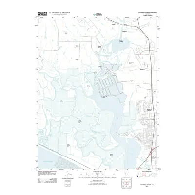
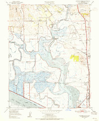 1949 Cuttings Wharf1956 Print · USGSThe Napa River delta in the late 1940s is a maze of tidal sloughs and growing railroad towns. Genealogists can trace family names at Cuttings Wharf, old rural schools like Los Amigos Sch, and early aviation sites like Vallejo Sky Harbor.8 unique versions available
 - 1951 Map of Cuttings Wharf
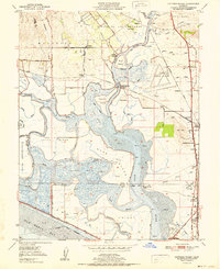 1951 Cuttings Wharf1951 Print · USGSThe Napa River delta and San Pablo Bay marshes come to life in this early 1950s survey of the California waterfront. Genealogists and historians can trace the development of Cuttings Wharf and Dutton Landing, or locate the Lachman Club among the sloughs.
 - 1951 Map of Cordelia, 1952 Print
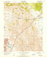 1951 Cordelia1952 Print · USGSNorth of Vallejo in the early fifties, this area shows a landscape of developing neighborhoods and heavy industry. Genealogists and historians can locate the Permanente Foundation Hospital, the St John Mine, and the rail junction at Cordelia.9 unique versions available
 - 1958 Map of Santa Rosa, 1968 Print
 1958 Santa Rosa1968 Print · USGSThe North Bay and Wine Country are captured in the mid-twentieth century as the region balanced its agricultural roots with a growing military and recreational footprint. Researchers can trace the Northwestern Pacific RR through the Russian River valley or locate landmarks like the Petaluma Adobe Historical Monument and The Geysers Resort.3 unique versions available
 - 1962 Map of Santa Rosa
 1962 Santa Rosa1962 Print · USGSThe North Bay and Wine Country were entering a period of significant growth in the early sixties, anchored by established rail corridors and coastal maritime commerce. Genealogists and historians can trace the development of Santa Rosa, locate the Mare Island Naval Shipyard, and follow the Northwestern Pacific RR through the Cotati Valley.
 - 1964 Map of Santa Rosa
 1964 Santa Rosa1964 Print · USGSThe North Bay and Wine Country appear in the mid-fifties during a period of significant military and educational growth. Trace old rail lines like the Northwestern Pacific RR and explore historic sites from Petaluma to the Benicia Arsenal.
 - 1983 Map of Napa
 1983 Napa1983 Print · USGSThe North Bay and wine country are captured in the early eighties as suburban growth began to surround traditional agricultural centers. Researchers can trace the rail corridors of the Northwestern Pacific Railroad, the grounds of Mare Island Naval Shipyard, and the reach of the San Andreas Rift Zone.
 - 2012 Map of Cuttings Wharf, 2012 Print
 2012 Cuttings Wharf2012 Print · USGSCovers American Canyon, including Vallejo, Napa, and other nearby areas
 - 2012 Map of Cordelia, 2012 Print
 2012 Cordelia2012 Print · USGSCovers American Canyon, including Vallejo, Fairfield, and other nearby areas
 - 2015 Map of Cordelia, 2015 Print
 2015 Cordelia2015 Print · USGSCovers American Canyon, including Vallejo, Fairfield, and other nearby areas
 - 2015 Map of Cuttings Wharf, 2015 Print
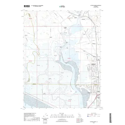
 2015 Cuttings Wharf2015 Print · USGSCovers American Canyon, including Vallejo, Napa, and other nearby areas
 - 2018 Map of Cordelia, 2018 Print
 2018 Cordelia2018 Print · USGSCovers American Canyon, including Vallejo, Fairfield, and other nearby areas
 - 2018 Map of Cuttings Wharf, 2018 Print
 2018 Cuttings Wharf2018 Print · USGSCovers American Canyon, including Vallejo, Napa, and other nearby areas
 - 2021 Map of Cuttings Wharf, 2021 Print
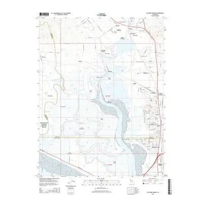
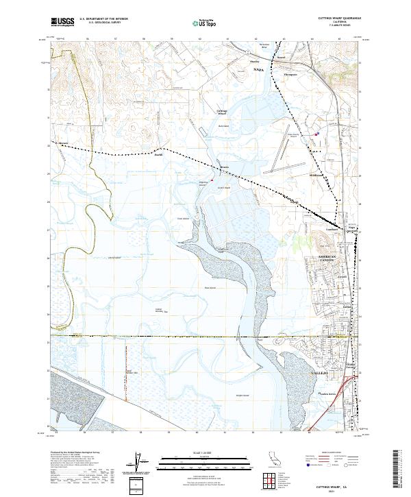 2021 Cuttings Wharf2021 Print · USGSThe marshes and tidal channels of the southern Napa Valley meet the growing industrial corridor of American Canyon. Trace the waterways of Napa River past Bull Island or find the early settlements at Cuttings Wharf and Buchli.
 - 2022 Map of Cordelia, 2022 Print
 2022 Cordelia2022 Print · USGSThe foothills of the Howell Mountains meet the expanding north bay communities in the early 2020s. Genealogists and historians can trace the development of Vallejo neighborhoods and find old landmarks like Elkhorn Peak, Cordelia, and the Terminal Reservoir.
End of results
Showing maps 1-25 of 25
Top cities near American Canyon
- Concord historical maps
- Vallejo historical maps
- Fairfield historical maps
- Richmond historical maps
- Vacaville historical maps
- Napa historical maps
See more
Top neighborhoods of American Canyon
Frequently asked questions
- What are the different types of historical maps available for American Canyon?
- What is the oldest map of American Canyon?
- Where can I purchase historical maps of American Canyon for my home or office?
- Where can I download high-res historical maps of American Canyon?
- Are there historical topographic maps available for American Canyon?
- Is there historical aerial imagery available for American Canyon?
- Where are historical maps of American Canyon sourced from?