2000s (21st Century) Maps of Rainbow, California
Explore 5 historic maps of Rainbow from the 2000s (21st Century). These maps offer a rare glimpse into what life looked like during the 2000s — showing old roads, neighborhoods, homes, and landmarks that have changed or disappeared over time.
Whether you're researching your family's past, planning a metal detecting trip, or studying how Rainbow's landscape evolved across the 2000s, these high-resolution maps are a powerful tool for exploring the history of this region.
- Focus on a specific era: All maps on this page are from the 2000s, giving you a focused view of this time period.
- See what’s changed: Compare century-old streets, trails, and buildings to today's modern landscape using overlays and satellite layers.
- Research with precision: Use these maps for genealogy, historical research, land use analysis, or educational projects.
- View, download, or print: Maps are fully viewable online in high resolution, and can be downloaded or printed for your own records.
Start exploring Rainbow's history through authentic maps from the 2000s. This is your window into the past.
Rainbow, CA maps
(5)- 2000 Map of Cisco Grove, 2003 Print
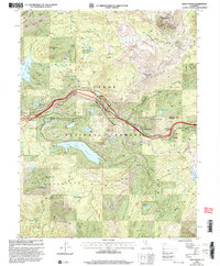 2000 Cisco Grove2003 Print · USGSThe High Sierra near the Placer and Nevada county line is shown here at the turn of the millennium. Researchers can trace the Overland Emigrant Trail and Southern Pacific tracks past Cisco Grove and the Main Sierra Boy Scout Camp.2 unique versions available
 - 2012 Map of Cisco Grove, 2012 Print
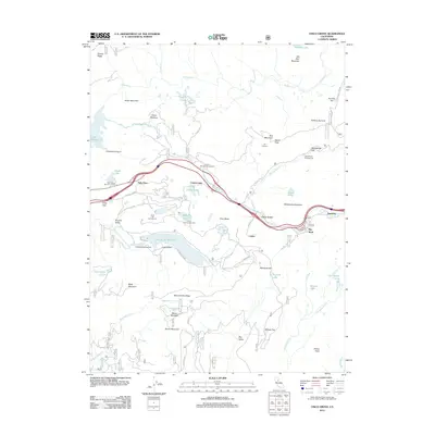 2012 Cisco Grove2012 Print · USGSCovers Rainbow, including Cisco Grove, Big Bend, and other nearby areas
 - 2015 Map of Cisco Grove, 2015 Print
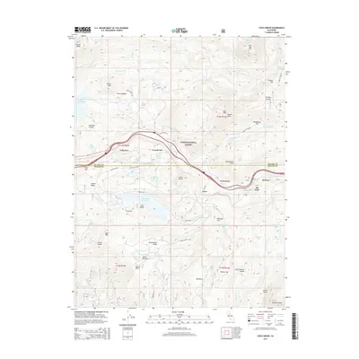 2015 Cisco Grove2015 Print · USGSCovers Rainbow, including Cisco Grove, Big Bend, and other nearby areas
 - 2018 Map of Cisco Grove, 2018 Print
 2018 Cisco Grove2018 Print · USGSCovers Rainbow, including Cisco Grove, Big Bend, and other nearby areas
 - 2022 Map of Cisco Grove, 2022 Print
 2022 Cisco Grove2022 Print · USGSCisco and the high Sierra passes of Placer and Nevada counties are captured here in the early twenty-first century. Researchers can trace historic mountain routes and water systems near Big Bend, Lake Valley Reservoir, and the fire lookout at Signal Peak.
End of results
Showing maps 1-5 of 5
Top cities near Rainbow
Frequently asked questions
- What are the different types of historical maps available for Rainbow?
- What is the oldest map of Rainbow?
- Where can I purchase historical maps of Rainbow for my home or office?
- Where can I download high-res historical maps of Rainbow?
- Are there historical topographic maps available for Rainbow?
- Is there historical aerial imagery available for Rainbow?
- Where are historical maps of Rainbow sourced from?