Old Maps of Virgilia, California for Academic Research
Study the evolution of Virgilia with 16 high-resolution historic maps. Whether you're teaching, researching, or modeling changes in land use, these maps provide essential visual documentation of urban, environmental, and geographic change.
- Analyze long-term change: Track patterns in development, transportation, and natural features.
- Ideal for environmental or urban studies: Support academic projects with primary historical map data.
- Use in the classroom or lab: Educators and researchers rely on these maps to bring historical context to life.
These maps are a powerful tool for teaching, research, and visualizing how Virgilia has changed over the decades.
Virgilia, CA maps
(16)- 1886 Map of Lassen Peak
 1886 Lassen Peak1886 Print · USGSThe Cascades of the late nineteenth century appear here as a landscape of timber mills and volcanic peaks. Genealogists and historians can trace early mountain life at Shingletown, Prattville, and isolated industrial sites like Eureka Mill or the Caribou Bridge.
 - 1892 Map of Lassen Peak
 1892 Lassen Peak1892 Print · USGSThe volcanic highlands of the southern Cascades are captured in the late nineteenth century, showing early milling and mountain settlements. Genealogists and historians can trace pioneer sites like Prattville, the old Eureka Mill, and the crossings at Caribou Bridge.
 - 1894 Map of Lassen Peak
 1894 Lassen Peak1894 Print · USGSThe volcanic highlands of Northern California are captured here in the 1890s, shortly after the initial topographic surveys. Genealogists and historians can locate early industry and mountain outposts like Eureka Mill, Prattville, and the remote Hat Creek Post Office.8 unique versions available
 - 1955 Map of Almanor, 1957 Print
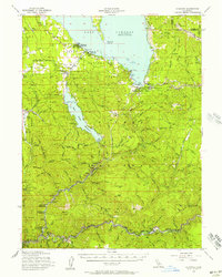 1955 Almanor1957 Print · USGSThe high Sierra Nevada landscape is shaped by the massive reservoirs and mountain rail lines of the mid-fifties. Researchers can trace the Western Pacific route through the river canyons or locate mining history at the Dutch Hill Mine and Sunnyside Mine.4 unique versions available
 - 1955 Map of Westwood, 1959 Print
 1955 Westwood1959 Print · USGSIn the mid-fifties, the northeastern California interior supported a landscape of mountain timber and high-desert basins. Genealogists and historians can locate early settlements and industrial sites like Susanville, Herlong, and the Sierra Ordinance Depot.
 - 1958 Map of Westwood
 1958 Westwood1958 Print · USGSNorthern California in the late fifties shows a landscape of volcanic peaks and rising reservoirs. Researchers can locate the Sierra Ordinance Depot and trace mountain infrastructure through the Hat Creek Ranger Station and Stacy Siding.
 - 1959 Map of Westwood
 1959 Westwood1959 Print · USGSNortheastern California during the late 1950s was a hub of timber, military logistics, and mountain railroading. Researchers can trace the path of the Southern Pacific through the Honey Lake Valley and locate landmarks like the Sierra Ordinance Depot and Lassen Peak.
 - 1962 Map of Susanville, 1965 Print
 1962 Susanville1965 Print · USGSNortheastern California's high desert and volcanic peaks meet in the early sixties, showing the region's timber and rail hubs in transition. Local historians can trace the Southern Pacific lines through Susanville and Litchfield, or explore the sprawling Sierra Army Depot and Lassen Volcanic National Park.2 unique versions available
 - 1968 Map of Susanville
 1968 Susanville1968 Print · USGSThe high Sierras and the Great Basin collide in the late 1960s, showing a landscape of volcanic peaks, timber settlements, and desert plains. Genealogists and researchers can trace historic rail lines like the Western Pacific or locate residents in Susanville, Westwood, and Janesville.
 - 1980 Map of Twain
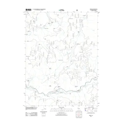
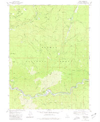 1980 Twain1980 Print · USGSThe Plumas County mountains in the late 1970s reveal a landscape shaped by gold mining and the railroad. Genealogists and historians can trace family-named sites like Perini Place, locate the Big Flat Cem, and explore the canyon rail sidings at Twain and Virgilia.2 unique versions available
 - 1989 Map of Lake Almanor, 1990 Print
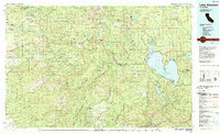 1989 Lake Almanor1990 Print · USGSUpper Plumas and Tehama counties appear here in the late eighties as a landscape of timber, volcanic peaks, and high-country reservoirs. Genealogists and historians can trace settlements from Chester and Westwood to mountain outposts like Mineral and Jonesville.2 unique versions available
 - 1994 Map of Twain, 1997 Print
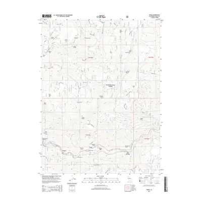
 1994 Twain1997 Print · USGSThe North Fork Feather River canyon comes into sharp focus during the 1990s, revealing a landscape defined by its mining and railroad history. Researchers can locate remote sites like Seneca, trace the Union Pacific line to Paxton Siding, and find the Big Flat Cem.
 - 2012 Map of Twain, 2012 Print
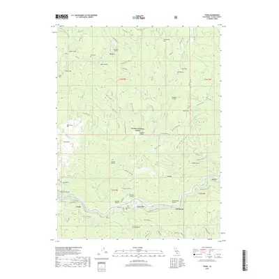
 2012 Twain2012 Print · USGSCovers Virgilia, including Feather River Hot Springs, Seneca, and other nearby areas
 - 2015 Map of Twain, 2015 Print
 2015 Twain2015 Print · USGSCovers Virgilia, including Feather River Hot Springs, Seneca, and other nearby areas
 - 2018 Map of Twain, 2018 Print
 2018 Twain2018 Print · USGSCovers Virgilia, including Feather River Hot Springs, Seneca, and other nearby areas
 - 2021 Map of Twain, 2021 Print
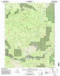
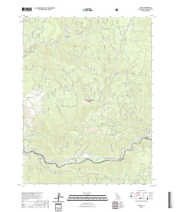 2021 Twain2021 Print · USGSThe steep canyons of the Feather River forks in the early 2020s reveal a network of isolated settlements and mountain roads. Trace local history through Big Flat Cem, the river bars of China Bar, and small hamlets like Virgilia and Paxton.
End of results
Showing maps 1-16 of 16
Frequently asked questions
- What are the different types of historical maps available for Virgilia?
- What is the oldest map of Virgilia?
- Where can I purchase historical maps of Virgilia for my home or office?
- Where can I download high-res historical maps of Virgilia?
- Are there historical topographic maps available for Virgilia?
- Is there historical aerial imagery available for Virgilia?
- Where are historical maps of Virgilia sourced from?