Old Maps of Manzanita, Temecula
Explore 30 old maps of Manzanita, spanning from 1901 to today. These high-resolution historic maps reveal how streets, neighborhoods, landmarks, and natural features evolved over time — perfect for genealogy, metal detecting, research, and local history exploration.
What you can do with these maps:
- See how Manzanita changed over time: Compare historical maps to modern-day views to trace roads, homesites, rail lines & more.
- View detailed metadata: Each map includes creators, publishers, year, scale, and archive source.
- Overlay maps with satellite & LiDAR: Visualize the past alongside modern tools to explore terrain & human change.
- Trusted historical sources: Maps sourced from the USGS, Library of Congress, and other archives.
- Access maps your way: View online, download high-res files, or order prints for personal or research use.
Start exploring old maps of Manzanita to uncover forgotten places, hidden landmarks, and the deep history beneath your feet.
Manzanita, Temecula maps
(30)- 1901 Map of Southern California Sheet No. 1
 1901 Southern California Sheet No. 11901 Print · USGSGreater Los Angeles at the dawn of the twentieth century is a landscape of growing citrus towns and a burgeoning rail network. Genealogists and historians can trace the early gridded streets of Hollywood and Pasadena or locate landmarks like Bear Lake and the Cahuilla Indian Reservation.6 unique versions available
 - 1901 Map of Elsinore
 1901 Elsinore1901 Print · USGSRiverside and the Alessandro Valley are shown here during a peak of early mining and rail expansion. Genealogists and historians can trace the Southern California RR through Perris or locate the Alberhill Coal Mine and Indian School.8 unique versions available
 - 1901 Map of San Luis Rey
 1901 San Luis Rey1901 Print · USGSNorthern San Diego County is shown at the turn of the century as a landscape of sprawling ranchos, early coastal railroads, and secluded mountain valleys. Researchers can trace the routes of the California Southern RR or locate early settlements like De Luz, Pala, and the Temecula Indian Res.8 unique versions available
 - 1904 Map of Southern California Sheet No. 2
 1904 Southern California Sheet No. 21904 Print · USGSSouthern California during the early 1900s shows the transition from vast ranchos to coastal rail towns. Genealogists and researchers can trace the Southern California R.R. through Oceanside, explore old land grants like Mission Viejo, and locate early settlements from Fallbrook to Julian.5 unique versions available
 - 1904 Map of Southern California Sheet No. 1, 1905 Print
 1904 Southern California Sheet No. 11905 Print · USGSSouthern California at the dawn of the twentieth century shows a landscape of citrus groves and coastal towns connected by rail. Genealogists and historians can trace early settlements like San Juan Capistrano, find remote sites like the Rose Mine, and study the original water systems of the Santa Ana River.2 unique versions available
 - 1942 Map of Temecula
 1942 Temecula1942 Print · USGSNorthern San Diego County and southern Riverside County are mapped here in the early 1940s, showing a rural landscape of canyons and ranch lands. Genealogists can trace family holdings at San Luis Rey Rancho or find early schools like Lilac Valley Sch.
 - 1942 Map of Murrieta, 1958 Print
 1942 Murrieta1958 Print · USGSRiverside County at the dawn of the 1940s reveals a patchwork of ranching valleys and early railway hubs. Researchers can locate long-standing rural schools like Alamos Sch, the historic Murrieta Hot Springs, and the workings of the Leon Mine.2 unique versions available
 - 1943 Map of Murrieta
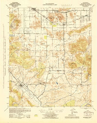 1943 Murrieta1943 Print · USGSRiverside County at the height of the Second World War shows a landscape of rail-connected farming towns and quiet interior valleys. Researchers can locate vanished rural landmarks like the Leon Mine, the Menifee Sch, and the original rail siding at Winchester.
 - 1947 Map of Santa Ana, 1949 Print
 1947 Santa Ana1949 Print · USGSSouthern California is depicted here in the late forties, showing the expansion of the Inland Empire and the Orange County coast. Researchers can trace the early layout of Palm Springs or locate long-standing tribal lands like the Pala Indian Reservation and Rincon Indian Res.
 - 1949 Map of Santa Ana
 1949 Santa Ana1949 Print · USGSSouthern California underwent a profound transformation in the late 1940s as military installations and citrus groves shared the landscape. Researchers can trace early coastal growth at Laguna Beach, military history at Camp Pendleton, and the rail corridors of the Pacific Electric.
 - 1949 Map of Pechanga, 1959 Print
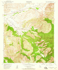 1949 Pechanga1959 Print · USGSThe Riverside and San Diego county line in the late 1940s was a hub of gemstone mining and traditional ranching. Local researchers can locate historic mining operations like the Tourmaline Queen Mine or trace family sites at Pauba Ranch and San Gabriel Church.2 unique versions available
 - 1950 Map of Pechanga
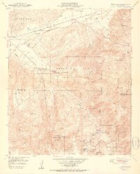 1950 Pechanga1950 Print · USGSThe Riverside and San Diego county line in the mid-century is defined by its deep tribal history and gem-mining industry. Genealogists and historians can trace local family landmarks like Pauba Ranch, the San Gabriel Church, and the Pala Chief Mine.2 unique versions available
 - 1953 Map of Bachelor Mtn., 1955 Print
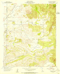 1953 Bachelor Mtn.1955 Print · USGSRiverside County’s interior valleys and ranch lands are preserved here in the early fifties, just as major water infrastructure began to reshape the region. Researchers can trace the path of the San Diego Aqueduct or locate rural landmarks like Auld Ranch and Alamos Sch.6 unique versions available
 - 1956 Map of Santa Ana
 1956 Santa Ana1956 Print · USGSSouthern California underwent massive mid-century transformation as suburban growth met major military and water projects. Trace the postwar expansion of Santa Ana and Riverside, the layout of Camp Pendleton, and the path of the Colorado River Aqueduct.
 - 1959 Map of Santa Ana, 1971 Print
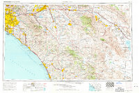 1959 Santa Ana1971 Print · USGSSouthern California is captured in a decade of transformation, from the Orange County coast to the desert floor. Researchers can trace the mid-century footprints of Camp Pendleton, March Air Force Base, and the original Ortega Highway.3 unique versions available
 - 1960 Map of Santa Ana
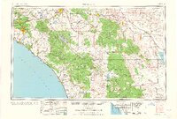 1960 Santa Ana1960 Print · USGSSouthern California's coastal plains and inland deserts meet in this mid-century survey of the burgeoning Orange and Riverside county corridors. Researchers can trace the layout of early freeway systems, find tribal lands like the Soboba Indian Reservation, and locate military landmarks such as March Field.2 unique versions available
 - 1965 Map of Santa Ana
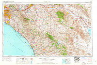 1965 Santa Ana1965 Print · USGSSouthern California is captured in a decade of rapid growth, showing the coastal expansion from Santa Ana down to Oceanside. Genealogists and historians can trace the mid-century development of places like Garden Grove or the rural reaches of Escondido and the Palomar Observatory.
 - 1968 Map of Pechanga, 1970 Print
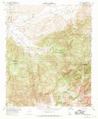 1968 Pechanga1970 Print · USGSRiverside and San Diego counties meet in this late 1960s survey of the high desert and mountain canyons. Geologists and local historians can trace a significant mining landscape including the Tourmaline King Mine and Stewart Mine near the Pala Indian Reservation.3 unique versions available
 - 1973 Map of Bachelor Mtn, 1976 Print
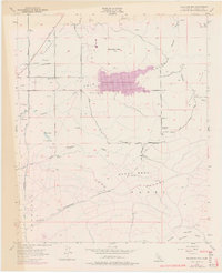 1973 Bachelor Mtn1976 Print · USGSInland Riverside County is shown during a transformative era of water management and rural transition in the early 1970s. Researchers can trace the development of Skinner Reservoir alongside older landmarks like Alamos Sch and the San Diego Aqueduct.
 - 1982 Map of Oceanside, 1983 Print
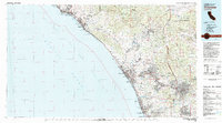 1982 Oceanside1983 Print · USGSCoastal San Diego and Orange counties are captured here in the early eighties, showing the transition from mid-century beach towns to modern suburban hubs. Genealogists and local historians can trace the Atchison Topeka and Santa Fe rail line through Cardiff-by-the-Sea or locate early developments near Lake Hodges.2 unique versions available
 - 1983 Map of Santa Ana
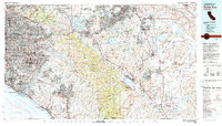 1983 Santa Ana1983 Print · USGSCoastal Orange County meets the Inland Empire in the early eighties as suburban growth accelerates through the SANTA ANA MOUNTAINS. Researchers can trace institutional and military history at MARCH AIR FORCE BASE, locate the Santiago Coal Mine, or find family sites near Fairhaven Cem.
 - 1997 Map of Pechanga, 2000 Print
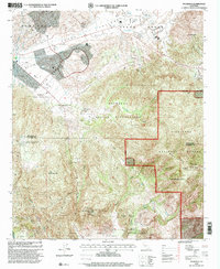 1997 Pechanga2000 Print · USGSRiverside and San Diego counties met in the 1990s at a crossroads of tribal lands and mountain wilderness. Genealogists and historians can trace the geography of the Pechanga Indian Reservation and locate historic gem sites like the Pala Chief Mine and Tourmaline Queen Mine.
 - 2012 Map of Pechanga, 2012 Print
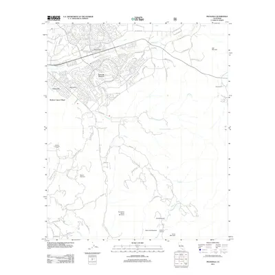 2012 Pechanga2012 Print · USGSTemecula and its southern valleys are shown during a period of suburban expansion just over a decade ago. Genealogists and local historians can trace modern development patterns across Temecula Ranchos and locate features like Pechanga Hot Springs and Yampa Ranch.
 - 2012 Map of Bachelor Mountain, 2012 Print
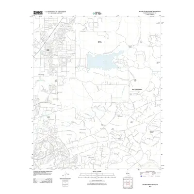 2012 Bachelor Mountain2012 Print · USGSRiverside County’s wine country and residential foothills are shown here during a period of significant local growth. Genealogists and historians can trace established neighborhoods like Dutch Village alongside landmarks like Hyatt School and Billy Joe Airport.
 - 2015 Map of Bachelor Mountain, 2015 Print
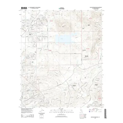 2015 Bachelor Mountain2015 Print · USGSRiverside County at the height of its modern suburban expansion shows a landscape where new housing developments meet older ranching valleys. Trace the growth of French Valley and Dutch Village or locate local landmarks like Billy Joe Airport and Skinner Reservoir.
Showing maps 1-25 of 30
Frequently asked questions
- What are the different types of historical maps available for Manzanita?
- What is the oldest map of Manzanita?
- Where can I purchase historical maps of Manzanita for my home or office?
- Where can I download high-res historical maps of Manzanita?
- Are there historical topographic maps available for Manzanita?
- Is there historical aerial imagery available for Manzanita?
- Where are historical maps of Manzanita sourced from?