Old Maps of Harmony Acres, Twentynine Palms
Explore 15 old maps of Harmony Acres, spanning from 1953 to today. These high-resolution historic maps reveal how streets, neighborhoods, landmarks, and natural features evolved over time — perfect for genealogy, metal detecting, research, and local history exploration.
What you can do with these maps:
- See how Harmony Acres changed over time: Compare historical maps to modern-day views to trace roads, homesites, rail lines & more.
- View detailed metadata: Each map includes creators, publishers, year, scale, and archive source.
- Overlay maps with satellite & LiDAR: Visualize the past alongside modern tools to explore terrain & human change.
- Trusted historical sources: Maps sourced from the USGS, Library of Congress, and other archives.
- Access maps your way: View online, download high-res files, or order prints for personal or research use.
Start exploring old maps of Harmony Acres to uncover forgotten places, hidden landmarks, and the deep history beneath your feet.
Harmony Acres, Twentynine Palms maps
(15)- 1953 Map of San Bernardino
 1953 San Bernardino1953 Print · USGSSouthern California underwent massive post-war growth as suburban sprawl reached the foothills of the San Bernardino Mountains. Genealogists and historians can trace the rail-and-road roots of the Inland Empire through the Union Pacific RR and Lake Arrowhead resorts.2 unique versions available
 - 1955 Map of Twentynine Palms, 1956 Print
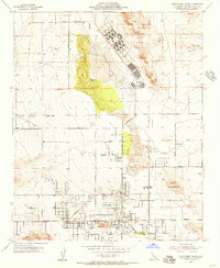 1955 Twentynine Palms1956 Print · USGSTwentynine Palms in the mid-fifties shows the desert community's expansion between the massive Marine Corps Training Center and the national monument. Researchers can trace early street layouts, find the Oasis of Mara, and locate the Chemehuevi Indian Res and Smith Ranch.2 unique versions available
 - 1955 Map of Twentynine Palms, 1956 Print
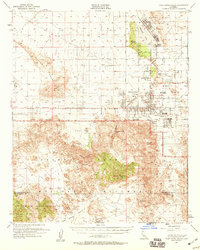 1955 Twentynine Palms1956 Print · USGSTwentynine Palms and the northern Mojave desert are captured here in the mid-1950s just as military and recreational interest in the region expanded. Trace early desert life through landmarks like the Oasis of Mara, the Desert Queen Mine, and the original Smith Ranch.5 unique versions available
 - 1956 Map of San Bernardino
 1956 San Bernardino1956 Print · USGSSouthern California's Inland Empire and High Desert come into focus in the mid-fifties as agriculture gives way to suburban and military growth. Trace early rail lines like the Pacific Electric or find remote landmarks like Camp Rock Mine and George AFB.
 - 1957 Map of San Bernardino
 1957 San Bernardino1957 Print · USGSSouthern California's Inland Empire and High Desert met during the postwar expansion of the late fifties. Genealogists and historians can trace the growth of San Bernardino and Redlands alongside remote landmarks like Edwards AFB and the Camp Rock Mine.
 - 1958 Map of San Bernardino, 1975 Print
 1958 San Bernardino1975 Print · USGSSouthern California’s Inland Empire and High Desert come into focus during the mid-century boom, showing the rise of suburbs and massive military installations. Researchers can trace the rail networks of the Union Pacific RR or locate landmarks like Norton AFB and Big Bear Lake.
 - 1959 Map of San Bernardino
 1959 San Bernardino1959 Print · USGSSouthern California underwent a massive transformation in the late fifties as suburban growth and military power reshaped the desert and valley. Researchers can trace the legacy of the Union Pacific Railroad and locate early footprints of Joshua Tree National Monument and Edwards Air Force Base.
 - 1966 Map of San Bernardino
 1966 San Bernardino1966 Print · USGSThe San Bernardino Valley and Mojave Desert met during a period of massive military and suburban growth in the mid-sixties. Genealogists and historians can trace the development of Edwards Air Force Base, old desert mines like the Bagdad Chase Mine, and mountain communities near Big Bear Lake.
 - 1973 Map of Twentynine Palms, 1975 Print
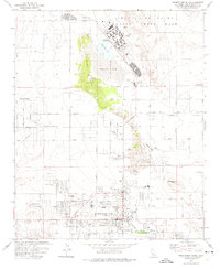 1973 Twentynine Palms1975 Print · USGSTwentynine Palms and its desert neighborhoods are shown here in the 1970s as the community expanded around the Marine Corps base. Genealogists and local historians can trace family locations at Smith Ranch, Harmony Acres, or the Twentynine Palms Cem.2 unique versions available
 - 1982 Map of Big Bear Lake, 1996 Print
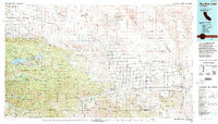 1982 Big Bear Lake1996 Print · USGSThe San Bernardino Mountains meet the high Mojave desert in the early eighties, showing a landscape defined by mountain resorts and desert basins. Trace the historic Belleville (Site), the rail lines of the Atchison Topeka and Santa Fe, and old mining works like the Gold Belt Mine.
 - 2012 Map of Twentynine Palms, 2012 Print
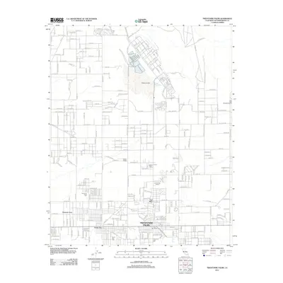 2012 Twentynine Palms2012 Print · USGSCovers Harmony Acres, including Twentynine Palms, Smoke Tree, and other nearby areas
 - 2015 Map of Twentynine Palms, 2015 Print
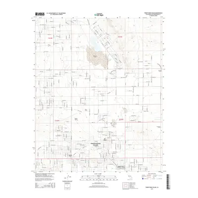 2015 Twentynine Palms2015 Print · USGSCovers Harmony Acres, including Twentynine Palms, Smoke Tree, and other nearby areas
 - 2018 Map of Twentynine Palms, 2018 Print
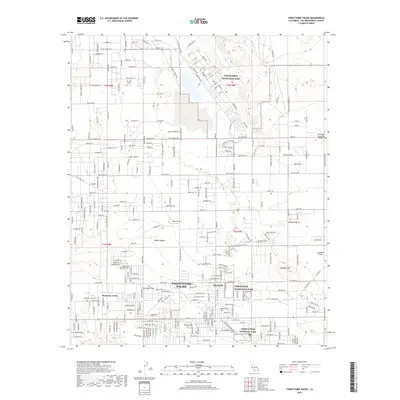 2018 Twentynine Palms2018 Print · USGSCovers Harmony Acres, including Twentynine Palms, Smoke Tree, and other nearby areas
 - 2021 Map of Twentynine Palms, 2021 Print
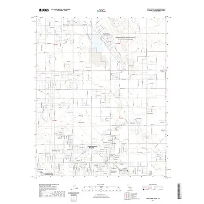 2021 Twentynine Palms2021 Print · USGSCovers Harmony Acres, including Twentynine Palms, Smoke Tree, and other nearby areas
 - 2023 Map of Twentynine Palms, 2023 Print
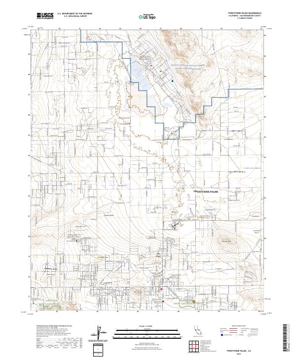 2023 Twentynine Palms2023 Print · USGSTwentynine Palms in the early 2020s serves as a critical junction for military training and desert conservation. Researchers can trace local landmarks like the Chemehuevi Indian Burial Ground, Nine Palms Cem, and the iconic Chocolate Drop.
End of results
Showing maps 1-15 of 15
Top cities near Harmony Acres
Frequently asked questions
- What are the different types of historical maps available for Harmony Acres?
- What is the oldest map of Harmony Acres?
- Where can I purchase historical maps of Harmony Acres for my home or office?
- Where can I download high-res historical maps of Harmony Acres?
- Are there historical topographic maps available for Harmony Acres?
- Is there historical aerial imagery available for Harmony Acres?
- Where are historical maps of Harmony Acres sourced from?