2000s (21st Century) Maps of Mission Park, Escondido
Explore 8 historic maps of Mission Park from the 2000s (21st Century). These maps offer a rare glimpse into what life looked like during the 2000s — showing old roads, neighborhoods, homes, and landmarks that have changed or disappeared over time.
Whether you're researching your family's past, planning a metal detecting trip, or studying how Mission Park's landscape evolved across the 2000s, these high-resolution maps are a powerful tool for exploring the history of this region.
- Focus on a specific era: All maps on this page are from the 2000s, giving you a focused view of this time period.
- See what’s changed: Compare century-old streets, trails, and buildings to today's modern landscape using overlays and satellite layers.
- Research with precision: Use these maps for genealogy, historical research, land use analysis, or educational projects.
- View, download, or print: Maps are fully viewable online in high resolution, and can be downloaded or printed for your own records.
Start exploring Mission Park's history through authentic maps from the 2000s. This is your window into the past.
Mission Park, Escondido maps
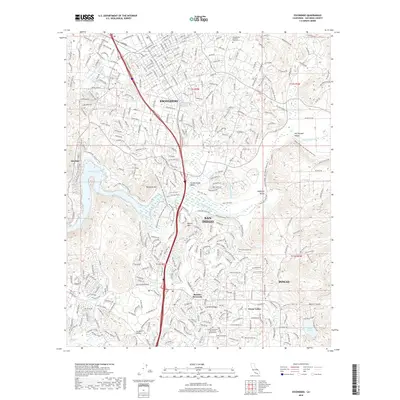
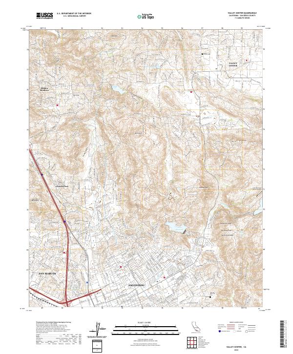
(8)- 2012 Map of Valley Center, 2012 Print
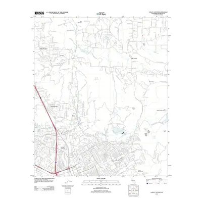 2012 Valley Center2012 Print · USGSCovers Mission Park, including Escondido, San Marcos, and other nearby areas
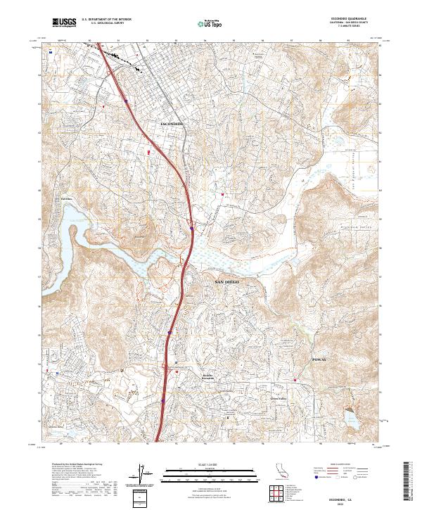
 - 2012 Map of Escondido, 2012 Print
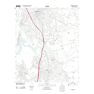 2012 Escondido2012 Print · USGSCovers Mission Park, including San Diego, Escondido, and other nearby areas
 - 2015 Map of Escondido, 2015 Print
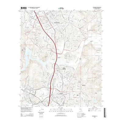 2015 Escondido2015 Print · USGSCovers Mission Park, including San Diego, Escondido, and other nearby areas
 - 2015 Map of Valley Center, 2015 Print
 2015 Valley Center2015 Print · USGSCovers Mission Park, including Escondido, San Marcos, and other nearby areas
 - 2018 Map of Escondido, 2018 Print
 2018 Escondido2018 Print · USGSCovers Mission Park, including San Diego, Escondido, and other nearby areas
 - 2018 Map of Valley Center, 2018 Print
 2018 Valley Center2018 Print · USGSCovers Mission Park, including Escondido, San Marcos, and other nearby areas
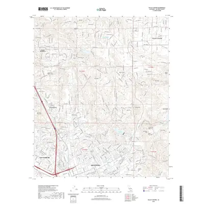
 - 2022 Map of Valley Center, 2022 Print
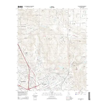
 2022 Valley Center2022 Print · USGSUpper San Diego County comes into focus here as the growing outskirts of Escondido meet the high ridges of the Merriam Mountains. Local historians can trace the San Diego Aqueduct and locate the Valley Center Cem or Lake Wohlford Resort Airport.
 - 2022 Map of Escondido, 2022 Print
 2022 Escondido2022 Print · USGSThe northern San Diego suburbs meet the inland valleys in this recent 2022 survey. Researchers can trace the modern boundaries of Rancho Bernardo and Del Dios, or locate specific landmarks like Lake Poway and the Westminster Seminary California.
End of results
Showing maps 1-8 of 8
Frequently asked questions
- What are the different types of historical maps available for Mission Park?
- What is the oldest map of Mission Park?
- Where can I purchase historical maps of Mission Park for my home or office?
- Where can I download high-res historical maps of Mission Park?
- Are there historical topographic maps available for Mission Park?
- Is there historical aerial imagery available for Mission Park?
- Where are historical maps of Mission Park sourced from?