2000s (21st Century) Maps of Seaside Point, Imperial Beach
Explore 8 historic maps of Seaside Point from the 2000s (21st Century). These maps offer a rare glimpse into what life looked like during the 2000s — showing old roads, neighborhoods, homes, and landmarks that have changed or disappeared over time.
Whether you're researching your family's past, planning a metal detecting trip, or studying how Seaside Point's landscape evolved across the 2000s, these high-resolution maps are a powerful tool for exploring the history of this region.
- Focus on a specific era: All maps on this page are from the 2000s, giving you a focused view of this time period.
- See what’s changed: Compare century-old streets, trails, and buildings to today's modern landscape using overlays and satellite layers.
- Research with precision: Use these maps for genealogy, historical research, land use analysis, or educational projects.
- View, download, or print: Maps are fully viewable online in high resolution, and can be downloaded or printed for your own records.
Start exploring Seaside Point's history through authentic maps from the 2000s. This is your window into the past.
Seaside Point, Imperial Beach maps
(8)- 2012 Map of Imperial Beach, 2012 Print
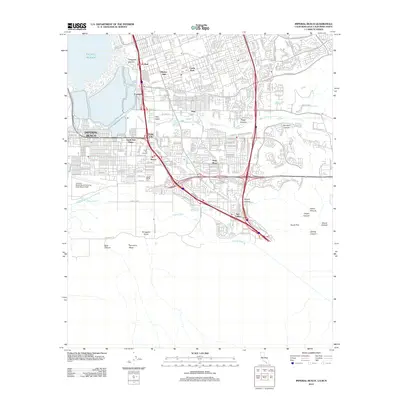 2012 Imperial Beach2012 Print · USGSCovers Seaside Point, including Tijuana, San Diego, and other nearby areas
 - 2012 Map of Imperial Beach OE W, 2012 Print
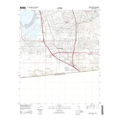
 2012 Imperial Beach OE W2012 Print · USGSCovers Seaside Point, including San Diego, Imperial Beach, and other nearby areas
 - 2015 Map of Imperial Beach OE W, 2015 Print
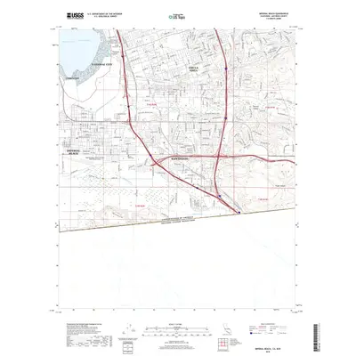
 2015 Imperial Beach OE W2015 Print · USGSCovers Seaside Point, including San Diego, Imperial Beach, and other nearby areas
 - 2015 Map of Imperial Beach, 2015 Print
 2015 Imperial Beach2015 Print · USGSCovers Seaside Point, including Tijuana, San Diego, and other nearby areas
 - 2018 Map of Imperial Beach OE W, 2018 Print
 2018 Imperial Beach OE W2018 Print · USGSCovers Seaside Point, including San Diego, Imperial Beach, and other nearby areas
 - 2018 Map of Imperial Beach, 2018 Print
 2018 Imperial Beach2018 Print · USGSCovers Seaside Point, including Tijuana, San Diego, and other nearby areas
 - 2021 Map of Imperial Beach OE W, 2021 Print
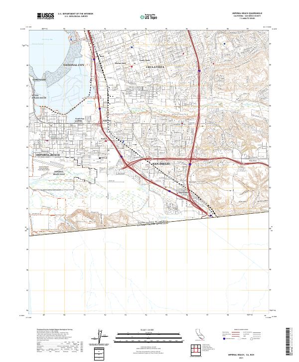
 2021 Imperial Beach OE W2021 Print · USGSThe Pacific coastline near the international border comes into focus in the early 2020s, showing the intersection of urban planning and conservation. Trace the grid of Imperial Beach and the paths through Tijuana Slough National Wildlife Refuge and Oneonta Slough.
 - 2021 Map of Imperial Beach, 2021 Print
 2021 Imperial Beach2021 Print · USGSThe California-Mexico border and the shores of San Diego Bay meet in this contemporary survey of the South Bay. Researchers can trace the modern layout of Nestor, Palm City, and San Ysidro or locate landmarks like Mount Olivet Cem and Border Field State Park.
End of results
Showing maps 1-8 of 8
Frequently asked questions
- What are the different types of historical maps available for Seaside Point?
- What is the oldest map of Seaside Point?
- Where can I purchase historical maps of Seaside Point for my home or office?
- Where can I download high-res historical maps of Seaside Point?
- Are there historical topographic maps available for Seaside Point?
- Is there historical aerial imagery available for Seaside Point?
- Where are historical maps of Seaside Point sourced from?