Old Maps of Goodmans Corner, California
Explore 17 old maps of Goodmans Corner, spanning from 1889 to today. These high-resolution historic maps reveal how streets, neighborhoods, landmarks, and natural features evolved over time — perfect for genealogy, metal detecting, research, and local history exploration.
What you can do with these maps:
- See how Goodmans Corner changed over time: Compare historical maps to modern-day views to trace roads, homesites, rail lines & more.
- View detailed metadata: Each map includes creators, publishers, year, scale, and archive source.
- Overlay maps with satellite & LiDAR: Visualize the past alongside modern tools to explore terrain & human change.
- Trusted historical sources: Maps sourced from the USGS, Library of Congress, and other archives.
- Access maps your way: View online, download high-res files, or order prints for personal or research use.
Start exploring old maps of Goodmans Corner to uncover forgotten places, hidden landmarks, and the deep history beneath your feet.
Goodmans Corner, CA maps
(17)- 1889 Map of Jackson
 1889 Jackson1889 Print · USGSThe Mother Lode foothills thrive in the late nineteenth century as mining and rail expansion reshape the landscape between the San Joaquin Valley and the Sierra Nevada. Genealogists and historians can trace the early layout of Jackson, locate vanished sites like Lancha Plana, and follow the path of the San Joaquin and Sierra Nevada Railroad.
 - 1892 Map of Jackson
 1892 Jackson1892 Print · USGSThe California Gold Country comes alive in the late nineteenth century as mining settlements and river-side camps define the landscape. Genealogists and historians can trace family roots through Mokelumne Hill, San Andreas, and the remote Whiskey Slide.
 - 1897 Map of Jackson
 1897 Jackson1897 Print · USGSAmador and Calaveras counties are shown here during the late nineteenth-century mining era, when the Mother Lode's river-and-rail economy was in full swing. Genealogists can trace family roots through settlements like Mokelumne Hill, San Andreas, and the remote Whiskey Slide.
 - 1902 Map of Jackson
 1902 Jackson1902 Print · USGSAmador and Calaveras counties are captured at the height of the mining era in this late nineteenth-century survey. Genealogists and historians can trace the rail lines of the Stockton and Copperopolis Railroad and find long-established camps like Lancha Plana and Jesus Maria.7 unique versions available
 - 1944 Map of Valley Springs
 1944 Valley Springs1944 Print · USGSCalaveras County was a landscape of ranching and river engineering during the early 1940s, just as the regional water system was expanding. Genealogists and historians can trace the foundations of Camanche and Lancha Plana or locate local landmarks like Stone Corral Ch and Hogan Dam.4 unique versions available
 - 1947 Map of Sacramento, 1948 Print
 1947 Sacramento1948 Print · USGSThe Sacramento Valley meets the high Sierra during a period of post-war expansion. Trace the historic river delta islands like Grand Island or locate early airfield footprints at McClellan Air Force Base and Mather Air Force Base.2 unique versions available
 - 1948 Map of Sacramento, 1951 Print
 1948 Sacramento1951 Print · USGSPost-war Northern California comes alive in this regional survey, capturing the era of expansion between the Central Valley and the High Sierra. Researchers can trace the rail networks of the Central California Traction and Sacramento Northern RR or locate landmarks like the State Capitol and University of California Davis.
 - 1956 Map of Sacramento
 1956 Sacramento1956 Print · USGSMid-century California unfolds from the delta to the high Sierra, capturing a landscape of growing valley cities and burgeoning military airbases. Genealogists and historians can trace the rail lines and river towns from Woodland to Lodi, or explore the foothill settlements of Placerville and Jackson.2 unique versions available
 - 1956 Map of Valley Springs, 1960 Print
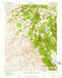 1956 Valley Springs1960 Print · USGSCalaveras County ranching and mining life is captured here in the mid-fifties, just as major water projects began to reshape the Mokelumne River valley. Genealogists and historians can locate family landmarks like Ospital Ranch, the Evergreen School, and old rail stops at Wallace or Burson.
 - 1957 Map of Sacramento, 1966 Print
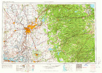 1957 Sacramento1966 Print · USGSIn the mid-twentieth century, the California heartland was a hub of river transport, rail lines, and military airbases. Genealogists and historians can trace the development of Gold Country towns like Angels Camp and Sonora or follow the path of the Southern Pacific RR through the growing suburbs of Sacramento.4 unique versions available
 - 1962 Map of Wallace, 1963 Print
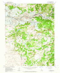 1962 Wallace1963 Print · USGSCalaveras County is captured here just before the waters rose to create the Camanche Reservoir in the early sixties. Genealogists and local historians can trace the original locations of Lancha Plana and Camanche before they were inundated, alongside the tracks of the Southern Pacific.3 unique versions available
 - 1962 Map of Valley Springs, 1964 Print
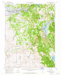 1962 Valley Springs1964 Print · USGSWestern Calaveras County is seen here just as new water projects were poised to transform the landscape. Researchers can trace historic settlements like Camanche and Lancha Plana or locate old mining sites such as Penn Mine and McCarty Mine.2 unique versions available
 - 1993 Map of San Andreas, 1994 Print
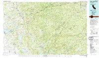 1993 San Andreas1994 Print · USGSThe Mother Lode and High Sierra foothills come alive in the 1990s, showcasing a region defined by historic gold mining and massive water projects. Genealogists and historians can locate old mining sites and rural settlements like Volcano, San Andreas, and Mokelumne Hill.
 - 2012 Map of Wallace, 2012 Print
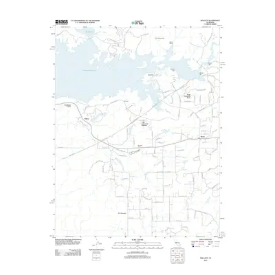 2012 Wallace2012 Print · USGSCalaveras County transitions from rural ranching to reservoir-side living in the early twenty-first century. Researchers can trace the development of Lake Camanche Ranches and South Camanche Shore alongside historic locales like Wallace and Burson.
 - 2015 Map of Wallace, 2015 Print
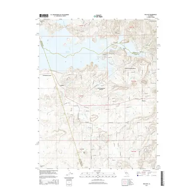 2015 Wallace2015 Print · USGSCalaveras County residential growth and reservoir life are front and center in this recent look at the Wallace area. Researchers can trace the path of the Mokelumne Aqueduct and locate historical spots like Poverty Bar and Goodmans Corner.
 - 2018 Map of Wallace, 2018 Print
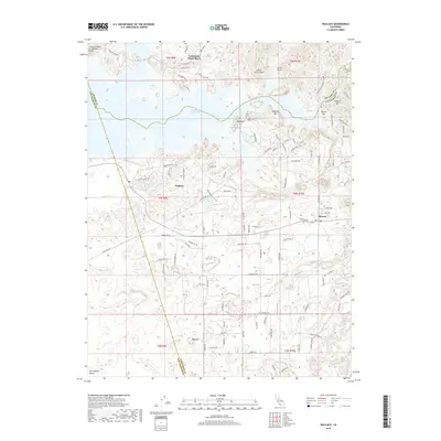 2018 Wallace2018 Print · USGSNear the intersection of Calaveras, Amador, and San Joaquin counties, this recent survey shows the modern footprint of California gold country. Researchers can trace historic river bars like Oregon Bar and Poverty Bar alongside the path of the Mokelumne Aqueduct.
 - 2021 Map of Wallace, 2021 Print
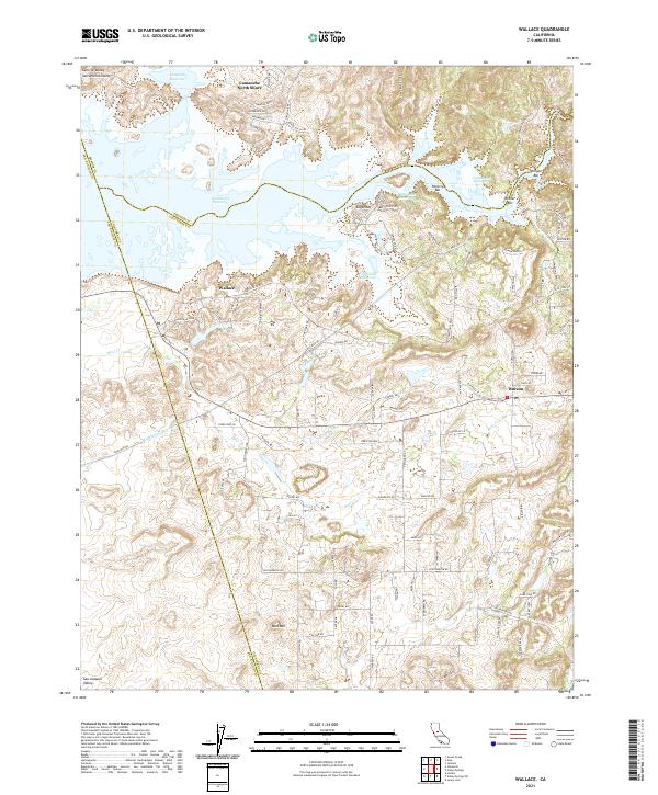 2021 Wallace2021 Print · USGSThe foothills of Calaveras and Amador counties are captured here in the early twenty-first century as they meet the Central Valley. Researchers can trace the modern layout of Wallace and Burson or locate mining-era sites like Poverty Bar and Winter Bar along the Camanche Reservoir shoreline.
End of results
Showing maps 1-17 of 17
Top cities near Goodmans Corner
- Stockton historical maps
- Ione historical maps
- Jackson historical maps
- Sutter Creek historical maps
- Amador City historical maps
Frequently asked questions
- What are the different types of historical maps available for Goodmans Corner?
- What is the oldest map of Goodmans Corner?
- Where can I purchase historical maps of Goodmans Corner for my home or office?
- Where can I download high-res historical maps of Goodmans Corner?
- Are there historical topographic maps available for Goodmans Corner?
- Is there historical aerial imagery available for Goodmans Corner?
- Where are historical maps of Goodmans Corner sourced from?