Old Maps of Nipomo, California for Hiking & Exploration
Hike through history with 13 historic maps of Nipomo. Explore old trails, ghost towns, and forgotten backroads — perfect for outdoor adventurers and local explorers.
- Rediscover forgotten places: Map out old mining camps, roads, and footpaths that no longer exist on modern maps.
- Layer with modern tools: Combine with LiDAR or satellite views to plan hikes through historical terrain.
- Made for exploration: Popular among hikers, overlanders, and local history lovers.
Use these maps to find adventure and explore the hidden past of Nipomo.
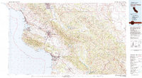
Nipomo, CA maps
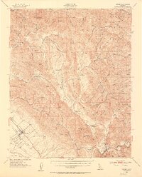
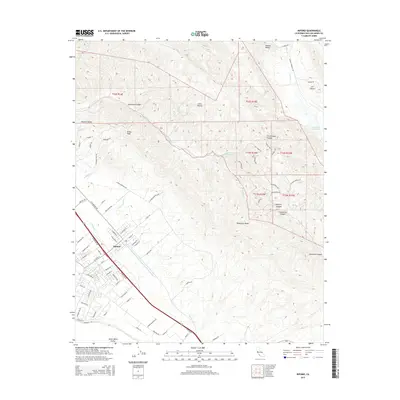
(13)- 1922 Map of Nipomo
 1922 Nipomo1922 Print · USGSThe ranching and rail landscape of coastal California is documented here shortly after the Great War. Genealogists can trace family holdings and local landmarks including the Pacific Coast Ry, the Colwell Ranch, and rural sites like the Santa Manuela School.4 unique versions available
 - 1947 Map of San Luis Obispo, 1948 Print
 1947 San Luis Obispo1948 Print · USGSCoastal California at the dawn of the Cold War reveals a landscape of massive military reservations and quiet seaside towns. Genealogists and researchers can trace the Southern Pacific rail line, old mining sites like Los Burros Mine, and local landmarks from Point Buchon to the Carrizo Plain.
 - 1948 Map of San Luis Obispo
 1948 San Luis Obispo1948 Print · USGSCentral Coast life in the late 1940s is centered on the Southern Pacific rail line and expanding military bases. Genealogists can trace early rural life through Union School and local operations like the Klau Mine or Buena Vista Mine.
 - 1952 Map of Nipomo, 1953 Print
 1952 Nipomo1953 Print · USGSCoastal ridges and interior ranchlands define this mid-century look at the southern San Luis Obispo back country. Local historians can trace old family holdings like Tar Springs Ranch and Porter Ranch or locate the Santa Manuela School.3 unique versions available
 - 1956 Map of San Luis Obispo, 1963 Print
 1956 San Luis Obispo1963 Print · USGSCentral California coastal and valley life unfolds in the mid-fifties, from the shoreline of Pismo Beach to the arid Carrizo Plain. Trace early travel routes along the Southern Pacific RR or locate family sites near the Templeton Cemetery and Paso Robles County Cemetery.5 unique versions available
 - 1957 Map of San Luis Obispo
 1957 San Luis Obispo1957 Print · USGSCoastal California in the late fifties is defined by the steep Santa Lucia Range and the rail-connected hub of San Luis Obispo. Genealogists and researchers can trace rural life via Union School, the Southern Pacific line, and old sites like the Polar Star Mine.
 - 1958 Map of San Luis Obispo
 1958 San Luis Obispo1958 Print · USGSThe Central Coast in the late fifties reveals a landscape of ranching and early tourism before the massive expansion of the modern era. Trace the path of the Southern Pacific through Atascadero or locate family roots in coastal towns like Cayucos and Cambria.
 - 1965 Map of Nipomo, 1967 Print
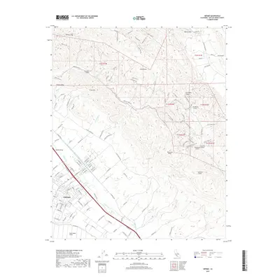
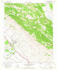 1965 Nipomo1967 Print · USGSSan Luis Obispo County in the mid-sixties reveals a landscape of ranching and emerging residential life between the mesa and the interior ridges. Researchers can trace family-named roads and landmarks from Nipomo to the remote Huasna Sch and Schau Peak.
 - 1981 Map of San Luis Obispo
 1981 San Luis Obispo1981 Print · USGSThe Central Coast comes alive in the early eighties as the Southern Pacific railroad connects growing coastal towns and rugged inland ranges. Researchers can trace land grants like Santa Manuela, locate Cem sites, and explore the footprint of California Polytechnic State University.3 unique versions available
 - 2012 Map of Nipomo, 2012 Print
 2012 Nipomo2012 Print · USGSCovers Nipomo, including Huasna, Suey Creek, and other nearby areas
 - 2015 Map of Nipomo, 2015 Print
 2015 Nipomo2015 Print · USGSCovers Nipomo, including Huasna, Suey Creek, and other nearby areas
 - 2018 Map of Nipomo, 2018 Print
 2018 Nipomo2018 Print · USGSCovers Nipomo, including Huasna, Suey Creek, and other nearby areas
 - 2021 Map of Nipomo, 2021 Print
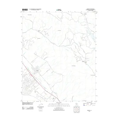
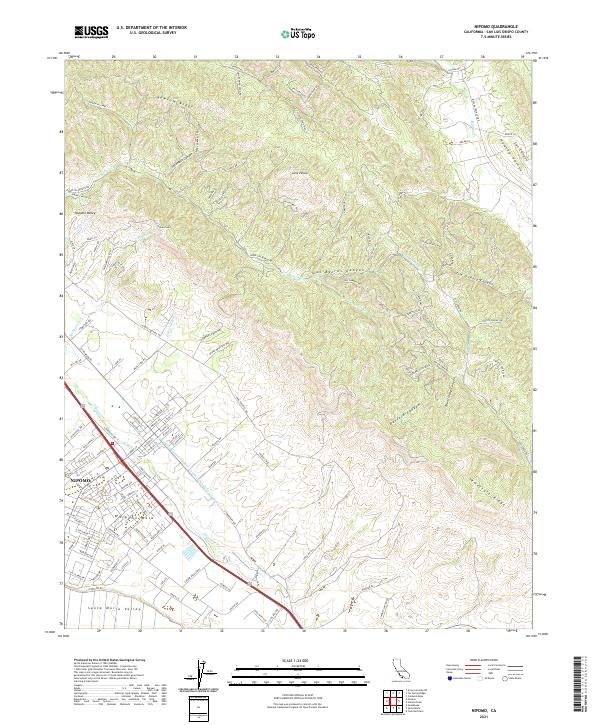 2021 Nipomo2021 Print · USGSNipomo and the surrounding mesa are captured in the early 2020s, showing the intersection of coastal valleys and rugged ridges. Trace local growth from the PO out toward Nipomo Mesa or follow the route of the Edmund G Brown Coastal Br California Aqueduct through Los Berros Canyon.
End of results
Showing maps 1-13 of 13
Top cities near Nipomo
- Santa Maria historical maps
- San Luis Obispo historical maps
- Orcutt historical maps
- Arroyo Grande historical maps
- Grover Beach historical maps
- Pismo Beach historical maps
See more
Frequently asked questions
- What are the different types of historical maps available for Nipomo?
- What is the oldest map of Nipomo?
- Where can I purchase historical maps of Nipomo for my home or office?
- Where can I download high-res historical maps of Nipomo?
- Are there historical topographic maps available for Nipomo?
- Is there historical aerial imagery available for Nipomo?
- Where are historical maps of Nipomo sourced from?