2000s (21st Century) Maps of Paso Robles, California
Explore 12 historic maps of Paso Robles from the 2000s (21st Century). These maps offer a rare glimpse into what life looked like during the 2000s — showing old roads, neighborhoods, homes, and landmarks that have changed or disappeared over time.
Whether you're researching your family's past, planning a metal detecting trip, or studying how Paso Robles's landscape evolved across the 2000s, these high-resolution maps are a powerful tool for exploring the history of this region.
- Focus on a specific era: All maps on this page are from the 2000s, giving you a focused view of this time period.
- See what’s changed: Compare century-old streets, trails, and buildings to today's modern landscape using overlays and satellite layers.
- Research with precision: Use these maps for genealogy, historical research, land use analysis, or educational projects.
- View, download, or print: Maps are fully viewable online in high resolution, and can be downloaded or printed for your own records.
Start exploring Paso Robles's history through authentic maps from the 2000s. This is your window into the past.
Paso Robles, CA maps
(12)- 2012 Map of Paso Robles, 2012 Print
 2012 Paso Robles2012 Print · USGSCovers Paso Robles, including San Lawrence Terrace, San Luis Obispo County, and other nearby areas
 - 2012 Map of Estrella, 2012 Print
 2012 Estrella2012 Print · USGSCovers Paso Robles, including Estrella, Independence Ranch, and other nearby areas
 - 2012 Map of Templeton, 2012 Print
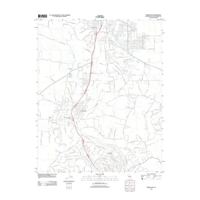 2012 Templeton2012 Print · USGSCovers Paso Robles, including Atascadero, Asuncion, and other nearby areas
 - 2015 Map of Templeton, 2015 Print
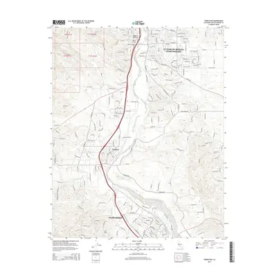 2015 Templeton2015 Print · USGSCovers Paso Robles, including Atascadero, Asuncion, and other nearby areas
 - 2015 Map of Estrella, 2015 Print
 2015 Estrella2015 Print · USGSCovers Paso Robles, including Estrella, Independence Ranch, and other nearby areas
 - 2015 Map of Paso Robles, 2015 Print
 2015 Paso Robles2015 Print · USGSCovers Paso Robles, including San Lawrence Terrace, San Luis Obispo County, and other nearby areas
 - 2018 Map of Paso Robles, 2018 Print
 2018 Paso Robles2018 Print · USGSCovers Paso Robles, including San Lawrence Terrace, San Luis Obispo County, and other nearby areas
 - 2018 Map of Templeton, 2018 Print
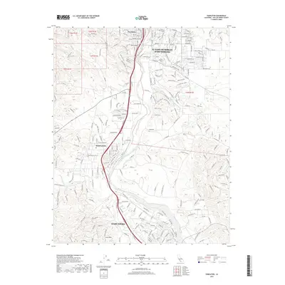 2018 Templeton2018 Print · USGSCovers Paso Robles, including Atascadero, Asuncion, and other nearby areas
 - 2018 Map of Estrella, 2018 Print
 2018 Estrella2018 Print · USGSCovers Paso Robles, including Estrella, Independence Ranch, and other nearby areas
 - 2021 Map of Estrella, 2021 Print
 2021 Estrella2021 Print · USGSThe Paso Robles wine country and its rugged canyon lands appear in detail here during the early twenty-first century. Researchers can trace the development of Whitley Gardens and vineyards along Chardonnay Pl or explore the drainage of Hog Canyon.
 - 2021 Map of Paso Robles, 2021 Print
 2021 Paso Robles2021 Print · USGSPaso Robles and the surrounding Salinas River valley are shown here in the modern era, detailing the mix of historic settlements and recent infrastructure. Researchers can trace the Union Pacific line past Old Adobe, locate the Paso Robles District Cemetery, and explore the drainage of Huerhuero Creek.
 - 2021 Map of Templeton, 2021 Print
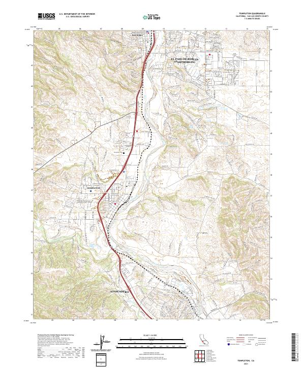 2021 Templeton2021 Print · USGSThe Salinas River valley comes into focus during the early 2020s, showing the connectivity between Templeton, Atascadero, and Paso Robles. Trace family history at the Templeton Cem or follow the historic Union Pacific rail corridor.
End of results
Showing maps 1-12 of 12
Top cities near Paso Robles
Frequently asked questions
- What are the different types of historical maps available for Paso Robles?
- What is the oldest map of Paso Robles?
- Where can I purchase historical maps of Paso Robles for my home or office?
- Where can I download high-res historical maps of Paso Robles?
- Are there historical topographic maps available for Paso Robles?
- Is there historical aerial imagery available for Paso Robles?
- Where are historical maps of Paso Robles sourced from?