2000s (21st Century) Maps of Palo Cedro, California
Explore 9 historic maps of Palo Cedro from the 2000s (21st Century). These maps offer a rare glimpse into what life looked like during the 2000s — showing old roads, neighborhoods, homes, and landmarks that have changed or disappeared over time.
Whether you're researching your family's past, planning a metal detecting trip, or studying how Palo Cedro's landscape evolved across the 2000s, these high-resolution maps are a powerful tool for exploring the history of this region.
- Focus on a specific era: All maps on this page are from the 2000s, giving you a focused view of this time period.
- See what’s changed: Compare century-old streets, trails, and buildings to today's modern landscape using overlays and satellite layers.
- Research with precision: Use these maps for genealogy, historical research, land use analysis, or educational projects.
- View, download, or print: Maps are fully viewable online in high resolution, and can be downloaded or printed for your own records.
Start exploring Palo Cedro's history through authentic maps from the 2000s. This is your window into the past.
Palo Cedro, CA maps
(9)- 2012 Map of Enterprise, 2012 Print
 2012 Enterprise2012 Print · USGSCovers Palo Cedro, including Redding, Pacheco, and other nearby areas
 - 2012 Map of Palo Cedro, 2012 Print
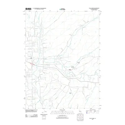 2012 Palo Cedro2012 Print · USGSCovers Palo Cedro, including Millville, Shasta County, and other nearby areas
 - 2015 Map of Enterprise, 2015 Print
 2015 Enterprise2015 Print · USGSCovers Palo Cedro, including Redding, Pacheco, and other nearby areas
 - 2015 Map of Palo Cedro, 2015 Print
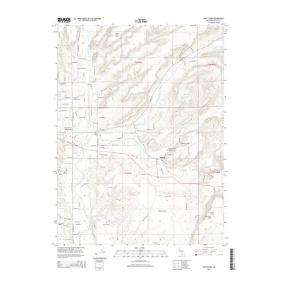 2015 Palo Cedro2015 Print · USGSCovers Palo Cedro, including Millville, Shasta County, and other nearby areas
 - 2018 Map of Enterprise, 2018 Print
 2018 Enterprise2018 Print · USGSCovers Palo Cedro, including Redding, Pacheco, and other nearby areas
 - 2018 Map of Palo Cedro, 2018 Print
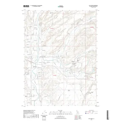 2018 Palo Cedro2018 Print · USGSCovers Palo Cedro, including Millville, Shasta County, and other nearby areas
 - 2021 Map of Palo Cedro, 2021 Print
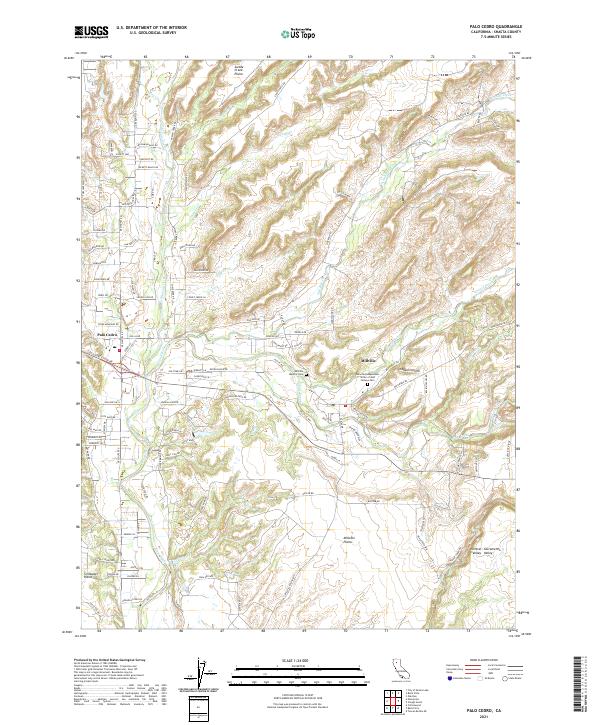 2021 Palo Cedro2021 Print · USGSThe northern Sacramento Valley landscape comes alive in this 2021 study of the settlements and waterways east of Redding. Genealogists and historians can locate the Millville Masonic Cem or trace the winding path of Stagecoach Rd as it crosses Swede Creek.
 - 2022 Map of Enterprise, 2022 Print
 2022 Enterprise2022 Print · USGSCovers Palo Cedro, including Redding, Pacheco, and other nearby areas
 - 2023 Map of Enterprise, 2023 Print
 2023 Enterprise2023 Print · USGSShasta County’s northern valley corridor is documented here during a period of significant suburban growth. Researchers can trace the modern expansion of Enterprise and Redding alongside older areas like Loomis Corners and the Stillwater Plains.
End of results
Showing maps 1-9 of 9
Top cities near Palo Cedro
- Redding historical maps
- Anderson historical maps
- Shasta Lake historical maps
- Cottonwood historical maps
- Cottonwood historical maps
- Millville historical maps
Frequently asked questions
- What are the different types of historical maps available for Palo Cedro?
- What is the oldest map of Palo Cedro?
- Where can I purchase historical maps of Palo Cedro for my home or office?
- Where can I download high-res historical maps of Palo Cedro?
- Are there historical topographic maps available for Palo Cedro?
- Is there historical aerial imagery available for Palo Cedro?
- Where are historical maps of Palo Cedro sourced from?