Old Maps of Kegg, California
Explore 14 old maps of Kegg, spanning from 1886 to today. These high-resolution historic maps reveal how streets, neighborhoods, landmarks, and natural features evolved over time — perfect for genealogy, metal detecting, research, and local history exploration.
What you can do with these maps:
- See how Kegg changed over time: Compare historical maps to modern-day views to trace roads, homesites, rail lines & more.
- View detailed metadata: Each map includes creators, publishers, year, scale, and archive source.
- Overlay maps with satellite & LiDAR: Visualize the past alongside modern tools to explore terrain & human change.
- Trusted historical sources: Maps sourced from the USGS, Library of Congress, and other archives.
- Access maps your way: View online, download high-res files, or order prints for personal or research use.
Start exploring old maps of Kegg to uncover forgotten places, hidden landmarks, and the deep history beneath your feet.
Kegg, CA maps
(14)- 1886 Map of Modoc Lava Bed
 1886 Modoc Lava Bed1886 Print · USGSNortheastern California is surveyed here in the years following the Modoc War, showing the volcanic terrain of the Modoc Lava Bed and early river settlements. Trace pioneer history through Modoc Rifle Pits, a Ferry on the Pit River, and old outposts like Bieber and Lookout.
 - 1892 Map of Modoc Lava-Bed
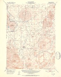
 1892 Modoc Lava-Bed1892 Print · USGSNortheastern California's volcanic terrain is meticulously charted in the 1890s, before modern irrigation altered the great northern basins. Genealogists and historians can locate early outposts like Burgettville, the Modoc Rifle Pit, and the high-altitude Ice Cave.7 unique versions available
 - 1950 Map of Bray, 1952 Print
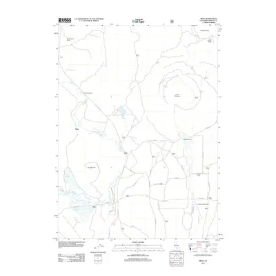
 1950 Bray1952 Print · USGSSiskiyou County's timber and rail corridor comes to life in the early fifties, showing the logging networks surrounding Tennant and Bray. Researchers can trace the path of the Lumber RR and locate remote sites like Ice Cave or the Cem near the forest boundary.10 unique versions available
 - 1954 Map of Alturas, 1968 Print
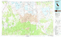
 1954 Alturas1968 Print · USGSThe Modoc Plateau and Surprise Valley appear in the mid-1950s as a landscape of remote ranching towns and vast wildlife refuges. Researchers can trace early settlements like Fort Bidwell, locate the McArthur Grain Elevator, and follow the Southern Pacific rail lines.4 unique versions available
 - 1958 Map of Alturas
 1958 Alturas1958 Print · USGSThe Modoc Plateau and Warner Mountains appear here during the late fifties, showcasing a landscape of high-desert ranching and volcanic terrain. Researchers can trace the rail-and-water economy through Alturas, Cedarville, and the Fort Bidwell Indian Res.2 unique versions available
 - 1962 Map of Alturas
 1962 Alturas1962 Print · USGSThe high desert of Modoc and Siskiyou counties is shown in the early sixties as a hub of timber, rail, and agriculture. Genealogists and historians can trace rail-side life via the Southern Pacific RR, the Tionesta PO, and the McArthur Grain Elevator.
 - 1965 Map of Alturas
 1965 Alturas1965 Print · USGSNortheastern California and southern Oregon appear in this mid-century survey of the high plateau and volcanic highlands. Researchers can trace the path of the Southern Pacific railroad through Alturas or locate rural outposts like Stronghold and Eagleville.
 - 1984 Map of Tulelake, 1985 Print
 1984 Tulelake1985 Print · USGSThe high desert and volcanic basins of the California-Oregon border are captured here in the mid-eighties. Researchers can trace the legacy of the Southern Pacific railroad through settlements like Stronghold, Newell, and the sprawling Lava Beds National Monument.2 unique versions available
 - 1988 Map of Bray
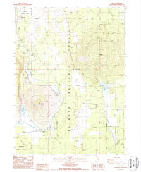 1988 Bray1988 Print · USGSSiskiyou County's high forest terrain is captured here in the late eighties, showing the remote settlements and volcanic peaks of northern California. Researchers can trace the Old Railroad Grade near Bray or locate landmarks like Orr Mountain and the Shatter Campground.
 - 2001 Map of Bray, 2004 Print
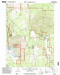 2001 Bray2004 Print · USGSSiskiyou County at the turn of the twenty-first century reveals a landscape shaped by timber, rail, and high-desert hydrology. Genealogists and historians can trace the small rail-side settlements of Bray and Leaf or locate the KNF Lookout atop Orr Mountain.2 unique versions available
 - 2012 Map of Bray, 2012 Print
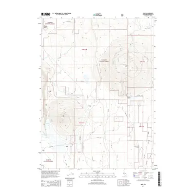
 2012 Bray2012 Print · USGSCovers Kegg, including Jerome, Bray, and other nearby areas
 - 2015 Map of Bray, 2015 Print
 2015 Bray2015 Print · USGSCovers Kegg, including Jerome, Bray, and other nearby areas
 - 2018 Map of Bray, 2018 Print
 2018 Bray2018 Print · USGSCovers Kegg, including Jerome, Bray, and other nearby areas
 - 2022 Map of Bray, 2022 Print
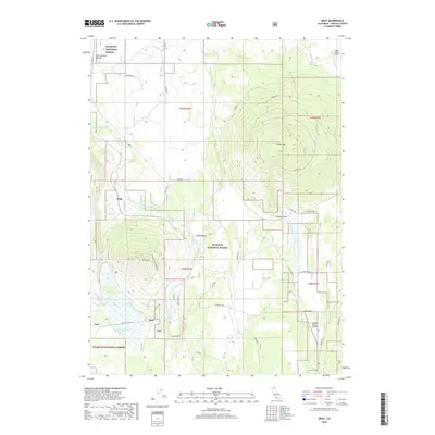
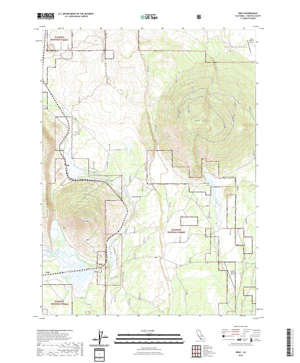 2022 Bray2022 Print · USGSSiskiyou County's high-elevation timberlands and ranching outposts are captured here in the early twenty-first century. Genealogists and local historians can trace the foundations of Bray, Kegg, and Leaf, alongside landmarks like Orr Lake and Cedar Mtn.
End of results
Showing maps 1-14 of 14
Frequently asked questions
- What are the different types of historical maps available for Kegg?
- What is the oldest map of Kegg?
- Where can I purchase historical maps of Kegg for my home or office?
- Where can I download high-res historical maps of Kegg?
- Are there historical topographic maps available for Kegg?
- Is there historical aerial imagery available for Kegg?
- Where are historical maps of Kegg sourced from?