2000s (21st Century) Maps of Kegg, California
Explore 5 historic maps of Kegg from the 2000s (21st Century). These maps offer a rare glimpse into what life looked like during the 2000s — showing old roads, neighborhoods, homes, and landmarks that have changed or disappeared over time.
Whether you're researching your family's past, planning a metal detecting trip, or studying how Kegg's landscape evolved across the 2000s, these high-resolution maps are a powerful tool for exploring the history of this region.
- Focus on a specific era: All maps on this page are from the 2000s, giving you a focused view of this time period.
- See what’s changed: Compare century-old streets, trails, and buildings to today's modern landscape using overlays and satellite layers.
- Research with precision: Use these maps for genealogy, historical research, land use analysis, or educational projects.
- View, download, or print: Maps are fully viewable online in high resolution, and can be downloaded or printed for your own records.
Start exploring Kegg's history through authentic maps from the 2000s. This is your window into the past.
Kegg, CA maps
(5)- 2001 Map of Bray, 2004 Print
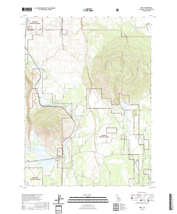
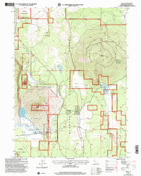 2001 Bray2004 Print · USGSSiskiyou County at the turn of the twenty-first century reveals a landscape shaped by timber, rail, and high-desert hydrology. Genealogists and historians can trace the small rail-side settlements of Bray and Leaf or locate the KNF Lookout atop Orr Mountain.2 unique versions available
 - 2012 Map of Bray, 2012 Print
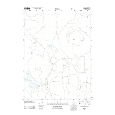 2012 Bray2012 Print · USGSCovers Kegg, including Jerome, Bray, and other nearby areas
 - 2015 Map of Bray, 2015 Print
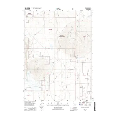 2015 Bray2015 Print · USGSCovers Kegg, including Jerome, Bray, and other nearby areas
 - 2018 Map of Bray, 2018 Print
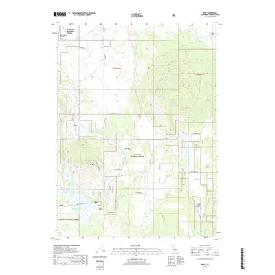 2018 Bray2018 Print · USGSCovers Kegg, including Jerome, Bray, and other nearby areas
 - 2022 Map of Bray, 2022 Print
 2022 Bray2022 Print · USGSSiskiyou County's high-elevation timberlands and ranching outposts are captured here in the early twenty-first century. Genealogists and local historians can trace the foundations of Bray, Kegg, and Leaf, alongside landmarks like Orr Lake and Cedar Mtn.
End of results
Showing maps 1-5 of 5
Frequently asked questions
- What are the different types of historical maps available for Kegg?
- What is the oldest map of Kegg?
- Where can I purchase historical maps of Kegg for my home or office?
- Where can I download high-res historical maps of Kegg?
- Are there historical topographic maps available for Kegg?
- Is there historical aerial imagery available for Kegg?
- Where are historical maps of Kegg sourced from?