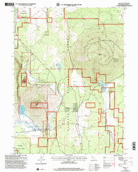
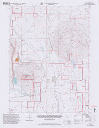
2001 Map of Bray
USGS Topo · Published 2004About this map
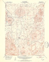
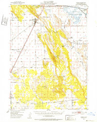
Orr Mountain dominates this portion of the Klamath National Forest, serving as a high-elevation anchor for the surrounding volcanic terrain. To its west lies Orr Lake, while the KNF Lookout atop the peak provides a vantage point over the complex boundary between public forest lands and private holdings. The southern portion of the quadrangle shows the small settlements of Bray and Leaf, which developed along the rail corridor. The landscape is defined by its water systems and timber-focused infrastructure, from the winding path of Butte Creek to the seasonal drainage of Antelope Sink. Industrial and logistical traces are evident in the presence of a Gravel Pit, a Cinder Pit, and a remote Landing Strip, illustrating how this high-altitude Siskiyou County territory was managed and accessed at the turn of the 21st century.
Find a feature on this map
21 named features on this map. Tap any name to fly to it.
Don’t see what you’re looking for? This feature index may not catch every label — zoom into the map to look around manually.
Map Details
Editions of this 2001 Bray Map
2 editions found
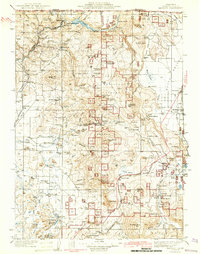
Other maps of this area

1886 · Modoc Lava Bed
USGS Topo · 1:250,000

1886 · Shasta
USGS Topo · 1:250,000

1892 · Modoc Lava-Bed
USGS Topo · 1:250,000

1894 · Shasta
USGS Topo · 1:250,000
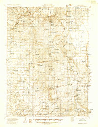
1934 · Macdoel
USGS Topo · 1:96,000
1941 · Macdoel
USGS Topo · 1:125,000

1948 · Weed
USGS Topo · 1:250,000

1950 · Weed
USGS Topo · 1:250,000
1950 · Bray
USGS Topo · 1:62,500
1950 · Dorris
USGS Topo · 1:62,500