
1950 Map of Dorris
USGS Topo · Published 1952About this map
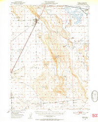
The California Oregon Approximate Boundary Line anchors this 1950s survey of the high basin floor and volcanic uplands in Siskiyou County. The town of Dorris serves as a primary hub along the Southern Pacific railroad, which tracks north-south alongside the Mt Diablo Meridian. The landscape is a mix of agricultural flats and wetlands, featuring the southern reaches of the Lower Klamath National Wildlife Refuge and the receding waters of Lower Klamath Lake. Numerous family ranches and landmarks like the Porterfield Ranch and Parsons Ranch suggest the localized cattle and farming economy of the era. To the south, the settlement of Macdoel sits near the Lakeview Cem, while several outlying schools such as Oklahoma Sch and Red Rock Sch reveal the distributed rural community structure before modern consolidation. Elevated features like Mahogany Mountain and Sheep Mtn rise sharply from the valley floor, overlooking the expansive Red Rock Valley.
Find a feature on this map
40 named features on this map. Tap any name to fly to it.
Don’t see what you’re looking for? This feature index may not catch every label — zoom into the map to look around manually.
Map Details
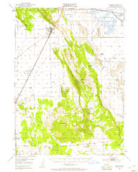
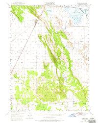
Editions of this 1950 Dorris Map
4 editions found
Other maps of this area

1886 · Modoc Lava Bed
USGS Topo · 1:250,000

1886 · Shasta
USGS Topo · 1:250,000

1889 · Klamath
USGS Topo · 1:250,000

1891 · Ashland
USGS Topo · 1:250,000

1892 · Modoc Lava-Bed
USGS Topo · 1:250,000

1893 · Ashland
USGS Topo · 1:250,000

1894 · Klamath
USGS Topo · 1:250,000

1894 · Shasta
USGS Topo · 1:250,000

1897 · Ashland
USGS Topo · 1:250,000

1934 · Macdoel
USGS Topo · 1:96,000