
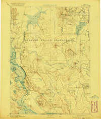
1894 Map of Klamath
USGS Topo · Published 1894About this map
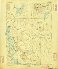
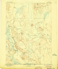
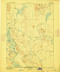
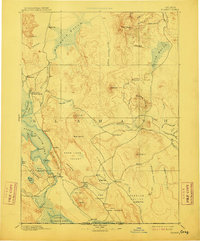
The vast wetlands and high plateaus of southern Oregon define this landscape, surveyed by Eugene Ricksecker in the mid-1880s. The hydrology of the era is remarkably detailed, showing the extensive Klamath Marsh and the massive reaches of Upper Klamath Lake and Lower Klamath Lake before twentieth-century water management altered their shorelines. High-country landmarks like Yamsay Peak and Fuego Mt. rise above the basin, while the interior is punctuated by broad valleys such as Swan Lake Valley and Poe Valley.
Find a feature on this map
80 named features on this map. Tap any name to fly to it.
Don’t see what you’re looking for? This feature index may not catch every label — zoom into the map to look around manually.
Map Details
Editions of this 1894 Klamath Map
6 editions found
Other maps of this area

1886 · Alturas
USGS Topo · 1:250,000

1886 · Modoc Lava Bed
USGS Topo · 1:250,000

1886 · Shasta
USGS Topo · 1:250,000

1889 · Klamath
USGS Topo · 1:250,000

1891 · Ashland
USGS Topo · 1:250,000

1892 · Modoc Lava-Bed
USGS Topo · 1:250,000

1892 · Alturas
USGS Topo · 1:250,000

1893 · Ashland
USGS Topo · 1:250,000

1894 · Shasta
USGS Topo · 1:250,000

1897 · Ashland
USGS Topo · 1:250,000