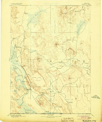
1894 Map of Klamath
USGS Topo · Published 1904About this map
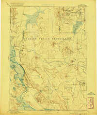
Ft. Klamath and the Klamath Agency serve as primary anchors for this late-nineteenth-century survey, revealing a landscape defined by expansive wetlands and volcanic peaks before modern water management significantly altered the basin. The map traces the intricate water systems of the Williamson River and Sprague River, documenting the early footprint of the Klamath Reservation including the Yainax Agency. These government outposts and early settlements like Linkville—the future Klamath Falls—demonstrate the emerging crossroads of southern Oregon near the Oregon California Boundary Line.
Find a feature on this map
78 named features on this map. Tap any name to fly to it.
Don’t see what you’re looking for? This feature index may not catch every label — zoom into the map to look around manually.
Map Details
Editions of this 1894 Klamath Map
6 editions found
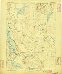
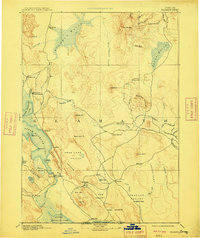
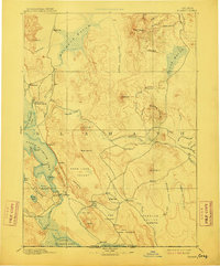
Other maps of this area

1886 · Alturas
USGS Topo · 1:250,000

1886 · Modoc Lava Bed
USGS Topo · 1:250,000

1886 · Shasta
USGS Topo · 1:250,000

1889 · Klamath
USGS Topo · 1:250,000

1891 · Ashland
USGS Topo · 1:250,000

1892 · Modoc Lava-Bed
USGS Topo · 1:250,000

1892 · Alturas
USGS Topo · 1:250,000

1893 · Ashland
USGS Topo · 1:250,000

1894 · Klamath
USGS Topo · 1:250,000

1894 · Shasta
USGS Topo · 1:250,000