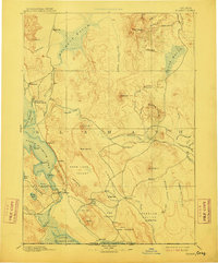
1894 Map of Klamath
USGS Topo · Published 1910About this map
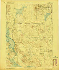
Linkville serves as the focal point of this late 19th-century landscape, situated along the Link River between Upper Klamath Lake and the Lost River system. The map captures a period of early regional administration, featuring both the Klamath Agency and Yainax Agency, which were central to the area's social and political structure following the treaty era. The topography is defined by the high desert and marshland basins characteristic of southern Oregon, including the extensive Klamath Marsh and the terminal waters of Tule Lake at the California border. Notable for genealogists and scientists alike are the remote outposts like Bly and Langells Valley, alongside a curious landmark labeled Fossils near the Oregon California Boundary Line. The presence of Ft. Klamath highlights the military and logistical importance of the Wood River valley during the decades following the Modoc War.
Find a feature on this map
81 named features on this map. Tap any name to fly to it.
Don’t see what you’re looking for? This feature index may not catch every label — zoom into the map to look around manually.
Map Details
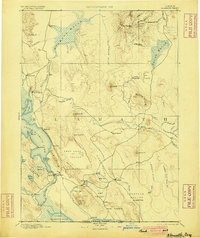
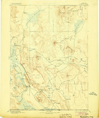
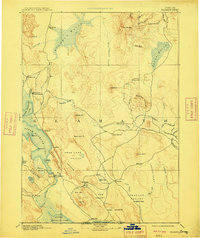
Editions of this 1894 Klamath Map
6 editions found
Other maps of this area

1886 · Alturas
USGS Topo · 1:250,000

1886 · Modoc Lava Bed
USGS Topo · 1:250,000

1886 · Shasta
USGS Topo · 1:250,000

1889 · Klamath
USGS Topo · 1:250,000

1891 · Ashland
USGS Topo · 1:250,000

1892 · Modoc Lava-Bed
USGS Topo · 1:250,000

1892 · Alturas
USGS Topo · 1:250,000

1893 · Ashland
USGS Topo · 1:250,000

1894 · Klamath
USGS Topo · 1:250,000

1894 · Shasta
USGS Topo · 1:250,000