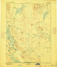
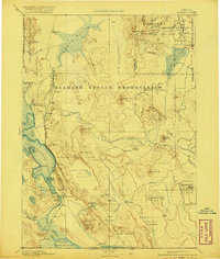
1894 Map of Klamath
USGS Topo · Published 1909About this map
Linkville, the early county seat, serves as a central hub on this late 19th-century reconnaissance of the Klamath Basin. The landscape is defined by its massive wetlands and high volcanic plateaus, with Klamath Marsh and Sycan Marsh dominating the northern drainage. A network of early outposts, including Ft. Klamath, Klamath Agency, and Yainax Agency, illustrates the administrative and military presence in the region following the Modoc War era.
Find a feature on this map
80 named features on this map. Tap any name to fly to it.
Don’t see what you’re looking for? This feature index may not catch every label — zoom into the map to look around manually.
Map Details
Editions of this 1894 Klamath Map
6 editions found
Other maps of this area

1886 · Alturas
USGS Topo · 1:250,000

1886 · Modoc Lava Bed
USGS Topo · 1:250,000

1886 · Shasta
USGS Topo · 1:250,000

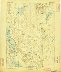
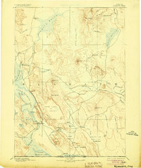
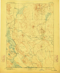
1889 · Klamath
USGS Topo · 1:250,000

1891 · Ashland
USGS Topo · 1:250,000

1892 · Modoc Lava-Bed
USGS Topo · 1:250,000

1892 · Alturas
USGS Topo · 1:250,000

1893 · Ashland
USGS Topo · 1:250,000

1894 · Klamath
USGS Topo · 1:250,000

1894 · Shasta
USGS Topo · 1:250,000