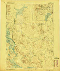
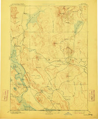
1894 Map of Klamath
USGS Topo · Published 1921About this map
The Klamath Indian Reservation dominates the center of this southern Oregon landscape, reflecting a pivotal era of land management and settlement. The map documents early administrative centers such as the Klamath Agency and Yainax Agency, which served as hubs for the region's indigenous populations. Along the western edge, the waters of Upper Klamath Lake and Agency Lake provide a stark contrast to the higher elevations of Crater National Forest. Insight into the area's economic development is seen in the southern portion of the sheet, where the Southern Pacific railroad line connects growing towns like Klamath Falls, Midland, and Worden. This rail expansion, coupled with the established river systems like the Williamson River and Lost River, illustrates the transition from isolated frontier outposts to a more integrated regional economy based on timber and transport.
Find a feature on this map
107 named features on this map. Tap any name to fly to it.
Don’t see what you’re looking for? This feature index may not catch every label — zoom into the map to look around manually.
Map Details
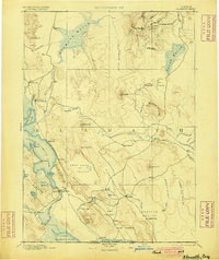
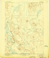
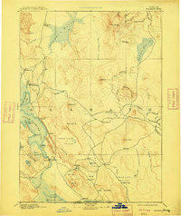
Editions of this 1894 Klamath Map
6 editions found
Other maps of this area

1886 · Alturas
USGS Topo · 1:250,000

1886 · Modoc Lava Bed
USGS Topo · 1:250,000

1886 · Shasta
USGS Topo · 1:250,000

1889 · Klamath
USGS Topo · 1:250,000

1891 · Ashland
USGS Topo · 1:250,000

1892 · Modoc Lava-Bed
USGS Topo · 1:250,000

1892 · Alturas
USGS Topo · 1:250,000

1893 · Ashland
USGS Topo · 1:250,000

1894 · Klamath
USGS Topo · 1:250,000

1894 · Shasta
USGS Topo · 1:250,000