
1894 Map of Shasta
USGS Topo · Published 1903About this map
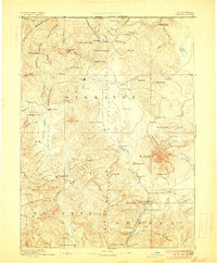
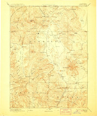
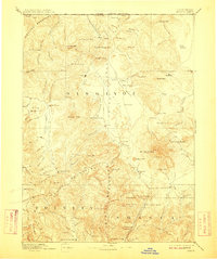
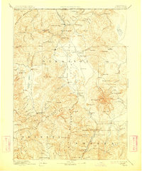
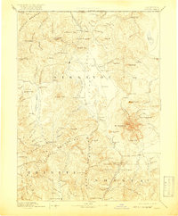
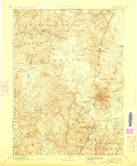
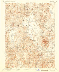
Mt Shasta dominates the eastern skyline in this late 19th-century survey, a period when the surrounding valleys were defined by mining, ranching, and the vital flow of the Shasta River. The regional hub of Yreka serves as a central point for a network of trails and roads connecting outlying settlements like Mugginsville, French Town, and Henley. Along the Oregon California Boundary Line, small operations such as the Empire Mill and various Mines reflect the extraction-based economy that drove development in the Siskiyou Mountains.
Find a feature on this map
141 named features on this map. Tap any name to fly to it.
Don’t see what you’re looking for? This feature index may not catch every label — zoom into the map to look around manually.
Map Details
Editions of this 1894 Shasta Map
8 editions found
Other maps of this area

1886 · Lassen Peak
USGS Topo · 1:250,000

1886 · Modoc Lava Bed
USGS Topo · 1:250,000

1886 · Shasta
USGS Topo · 1:250,000

1889 · Klamath
USGS Topo · 1:250,000

1890 · Red Bluff
USGS Topo · 1:250,000

1891 · Ashland
USGS Topo · 1:250,000

1892 · Modoc Lava-Bed
USGS Topo · 1:250,000

1892 · Lassen Peak
USGS Topo · 1:250,000

1893 · Ashland
USGS Topo · 1:250,000

1894 · Lassen Peak
USGS Topo · 1:250,000