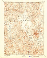
1894 Map of Shasta
USGS Topo · Published 1934About this map
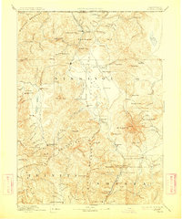
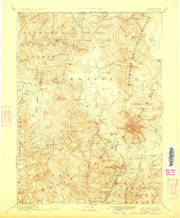
Yreka serves as the focal point of this Northern California survey, situated near the Yreka Irrigating Ditch and French Town. The landscape is defined by the massive volcanic profile of Mt Shasta, surrounded by early mountain communities like Fort Jones, Etna, and Mugginsville. This 19th-century mapping effort documents a region transitioning from raw frontier to a structured economy of mining and ranching.
Find a feature on this map
106 named features on this map. Tap any name to fly to it.
Don’t see what you’re looking for? This feature index may not catch every label — zoom into the map to look around manually.
Map Details
Editions of this 1894 Shasta Map
8 editions found

Other maps of this area

1886 · Lassen Peak
USGS Topo · 1:250,000

1886 · Modoc Lava Bed
USGS Topo · 1:250,000

1886 · Shasta
USGS Topo · 1:250,000

1889 · Klamath
USGS Topo · 1:250,000

1890 · Red Bluff
USGS Topo · 1:250,000

1891 · Ashland
USGS Topo · 1:250,000

1892 · Modoc Lava-Bed
USGS Topo · 1:250,000

1892 · Lassen Peak
USGS Topo · 1:250,000

1893 · Ashland
USGS Topo · 1:250,000

1894 · Lassen Peak
USGS Topo · 1:250,000