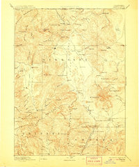
1894 Map of Shasta
USGS Topo · Published 1908About this map
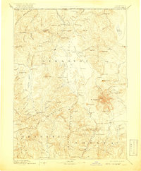
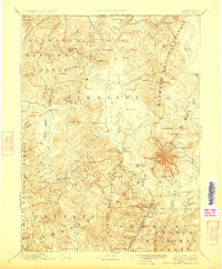
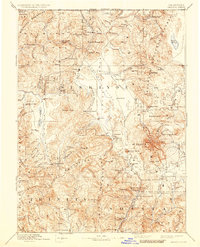
Yreka serves as the focal point for this late nineteenth-century reconnaissance of Northern California, documenting a landscape defined by gold mining and early settlement. The map traces the rugged divide between the Siskiyou Mountains, Salmon Mountains, and Trinity Mountains, where remote mining camps and ranching outposts like Mugginsville, Oro Fino, and the Callahan Ranch took hold. The dominance of the volcanic peak Mt Shasta looms over the eastern half of the sheet, providing a landmark for travelers navigating the Shasta Valley and the banks of the Sacramento River. Industrial activity is marked by the Altoona Mines and the Empire Mill, while old river crossings like the Ferry near Henley indicate how transit was managed before modern bridges. From the high elevation of Shastina to the river flats of Trinity Center, the survey preserves a view of a region transitioning from a frontier mining district to a settled mountain economy.
Find a feature on this map
141 named features on this map. Tap any name to fly to it.
Don’t see what you’re looking for? This feature index may not catch every label — zoom into the map to look around manually.
Map Details
Editions of this 1894 Shasta Map
8 editions found

Other maps of this area

1886 · Lassen Peak
USGS Topo · 1:250,000

1886 · Modoc Lava Bed
USGS Topo · 1:250,000

1886 · Shasta
USGS Topo · 1:250,000

1889 · Klamath
USGS Topo · 1:250,000

1890 · Red Bluff
USGS Topo · 1:250,000

1891 · Ashland
USGS Topo · 1:250,000

1892 · Modoc Lava-Bed
USGS Topo · 1:250,000

1892 · Lassen Peak
USGS Topo · 1:250,000

1893 · Ashland
USGS Topo · 1:250,000

1894 · Lassen Peak
USGS Topo · 1:250,000