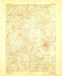
1894 Map of Shasta
USGS Topo · Published 1906About this map
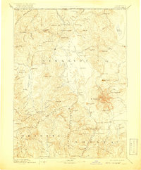
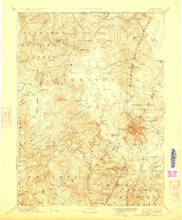
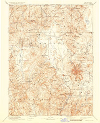
The towering presence of Mt Shasta and its subsidiary peak, Shastina, anchors this late nineteenth-century reconnaissance of Northern California. Surveyed in the 1880s, the landscape reveals a region defined by its rugged verticality and the vital water systems of the Shasta River and Little Shasta River. To the west, the Scott Valley hosts established settlements like Fort Jones and Etna, while the southern reaches follow the Upper Sacramento River towards Berryvale and the volcanic heights of Ash Creek Butte.
Find a feature on this map
132 named features on this map. Tap any name to fly to it.
Don’t see what you’re looking for? This feature index may not catch every label — zoom into the map to look around manually.
Map Details
Editions of this 1894 Shasta Map
8 editions found

Other maps of this area

1886 · Lassen Peak
USGS Topo · 1:250,000

1886 · Modoc Lava Bed
USGS Topo · 1:250,000

1886 · Shasta
USGS Topo · 1:250,000

1889 · Klamath
USGS Topo · 1:250,000

1890 · Red Bluff
USGS Topo · 1:250,000

1891 · Ashland
USGS Topo · 1:250,000

1892 · Modoc Lava-Bed
USGS Topo · 1:250,000

1892 · Lassen Peak
USGS Topo · 1:250,000

1893 · Ashland
USGS Topo · 1:250,000

1894 · Lassen Peak
USGS Topo · 1:250,000