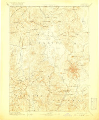
1894 Map of Shasta
USGS Topo · Published 1919About this map
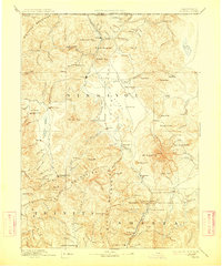
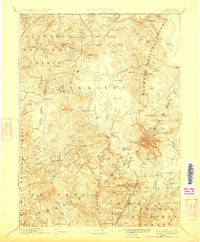
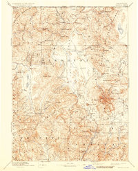
Mt Shasta dominates the eastern horizon of this late 19th-century reconnaissance, serving as a massive topographical anchor for a region defined by high peaks and narrow valleys. To the west, the Siskiyou Mountains and Scott Mountains cradle mining and ranching outposts that were vital to northern California’s early development. The map details a landscape of transition where resource extraction meets early settlement, from the Altoona Mines in the south to the Empire Mill near the Oregon border.
Find a feature on this map
136 named features on this map. Tap any name to fly to it.
Don’t see what you’re looking for? This feature index may not catch every label — zoom into the map to look around manually.
Map Details
Editions of this 1894 Shasta Map
8 editions found

Other maps of this area

1886 · Lassen Peak
USGS Topo · 1:250,000

1886 · Modoc Lava Bed
USGS Topo · 1:250,000

1886 · Shasta
USGS Topo · 1:250,000

1889 · Klamath
USGS Topo · 1:250,000

1890 · Red Bluff
USGS Topo · 1:250,000

1891 · Ashland
USGS Topo · 1:250,000

1892 · Modoc Lava-Bed
USGS Topo · 1:250,000

1892 · Lassen Peak
USGS Topo · 1:250,000

1893 · Ashland
USGS Topo · 1:250,000

1894 · Lassen Peak
USGS Topo · 1:250,000