
1894 Map of Lassen Peak
USGS Topo · Published 1894About this map
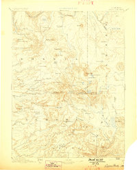
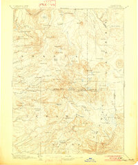
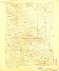
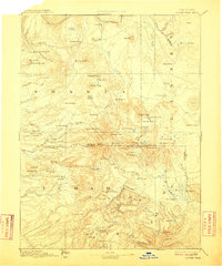
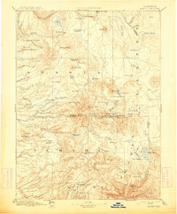
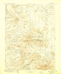
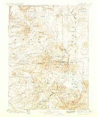
Lassen Peak dominates this late-nineteenth-century landscape, a focal point where the borders of Shasta, Lassen, Tehama, and Plumas counties converge. The map documents an era of active resource extraction and geothermal discovery, evidenced by the cluster of volcanic features like Cinder Cone and Bumpass Hot Springs alongside industrial outposts. The presence of Eureka Mill, Belle Mill, and a Saw Mill near Butte Meadows highlights the importance of timber and milling to the regional economy during the 1880s survey period.
Find a feature on this map
103 named features on this map. Tap any name to fly to it.
Don’t see what you’re looking for? This feature index may not catch every label — zoom into the map to look around manually.
Map Details
Editions of this 1894 Lassen Peak Map
8 editions found
Other maps of this area

1886 · Alturas
USGS Topo · 1:250,000

1886 · Honey Lake
USGS Topo · 1:250,000

1886 · Lassen Peak
USGS Topo · 1:250,000

1886 · Modoc Lava Bed
USGS Topo · 1:250,000

1886 · Shasta
USGS Topo · 1:250,000

1888 · Bidwell Bar
USGS Topo · 1:125,000

1890 · Red Bluff
USGS Topo · 1:250,000

1891 · Bidwell Bar
USGS Topo · 1:125,000

1891 · Chico
USGS Topo · 1:125,000

1891 · Downieville
USGS Topo · 1:125,000