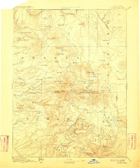
1894 Map of Lassen Peak
USGS Topo · Published 1910About this map
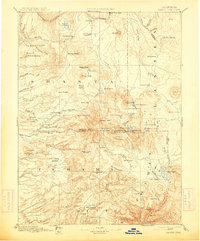
Lassen Trail snakes across the southern reaches of this landscape, marking a vital historic corridor through the volcanic terrain of Northern California. Surveyed in the 1880s, the map reveals a rugged economy defined by early timber and milling operations, including Eureka Mill, Belle Mill, and a simple Saw Mill near Butte Meadows. These small settlements and work sites are connected by primitive roads and drainage systems that feed into the Pit River and Battle Creek.
Find a feature on this map
113 named features on this map. Tap any name to fly to it.
Don’t see what you’re looking for? This feature index may not catch every label — zoom into the map to look around manually.
Map Details
Editions of this 1894 Lassen Peak Map
8 editions found

Other maps of this area

1886 · Alturas
USGS Topo · 1:250,000

1886 · Honey Lake
USGS Topo · 1:250,000

1886 · Lassen Peak
USGS Topo · 1:250,000

1886 · Modoc Lava Bed
USGS Topo · 1:250,000

1886 · Shasta
USGS Topo · 1:250,000

1888 · Bidwell Bar
USGS Topo · 1:125,000

1890 · Red Bluff
USGS Topo · 1:250,000

1891 · Bidwell Bar
USGS Topo · 1:125,000

1891 · Chico
USGS Topo · 1:125,000

1891 · Downieville
USGS Topo · 1:125,000