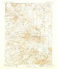
1894 Map of Lassen Peak
USGS Topo · Published 1933About this map
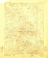
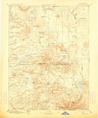
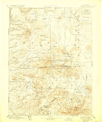
Lassen Peak dominates this 1880s landscape, captured before its famous 20th-century eruptions and the formal establishment of the surrounding Lassen Volcanic National Park. The survey reflects a region defined by early timber and water interests, shown through the presence of Belle Mill and Eureka Mill along the western slopes. Early pioneers settled at Hat Creek (Cassel P.O.) and Prattville, the latter situated near the headwaters of the North Fork Feather River before the creation of Lake Almanor. The terrain is remarkably detailed for a survey without spirit level control, tracing the volcanic geology of Cinder Cone and Prospect Peak. In the north, Burney Valley and Goose Valley suggest the open pastoral lands that first attracted settlers to the volcanic plateau. This map preserves the locations of early mountain outposts like Lyonsville and Longville, offering a view of the southern Cascades during the peak of the 19th-century resource era.
Find a feature on this map
95 named features on this map. Tap any name to fly to it.
Don’t see what you’re looking for? This feature index may not catch every label — zoom into the map to look around manually.
Map Details
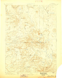
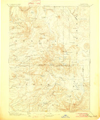
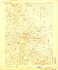
Editions of this 1894 Lassen Peak Map
8 editions found

Other maps of this area

1886 · Alturas
USGS Topo · 1:250,000

1886 · Honey Lake
USGS Topo · 1:250,000

1886 · Lassen Peak
USGS Topo · 1:250,000

1886 · Modoc Lava Bed
USGS Topo · 1:250,000

1886 · Shasta
USGS Topo · 1:250,000

1888 · Bidwell Bar
USGS Topo · 1:125,000

1890 · Red Bluff
USGS Topo · 1:250,000

1891 · Bidwell Bar
USGS Topo · 1:125,000

1891 · Chico
USGS Topo · 1:125,000

1891 · Downieville
USGS Topo · 1:125,000