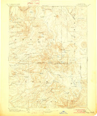
1894 Map of Lassen Peak
USGS Topo · Published 1902About this map
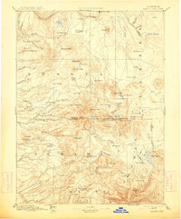
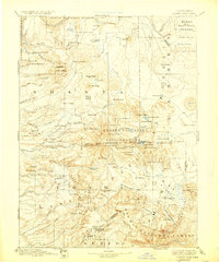
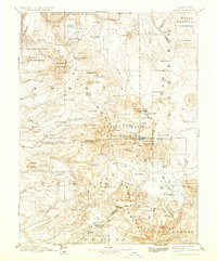
Lassen Peak stands at the center of this 1890s reconnaissance, surrounded by the diverse volcanic topography of the southern Cascades. The map documents an era of active resource extraction and early settlement, with numerous lumber and grain operations such as Eureka Mill, Belle Mill, and a Saw Mill near Butte Meadows Hill. The landscape is a network of early pioneer routes, most notably the Lassen Trail, which navigates through the high terrain between Flatiron Hill and the Battle Creek Meadows.
Find a feature on this map
115 named features on this map. Tap any name to fly to it.
Don’t see what you’re looking for? This feature index may not catch every label — zoom into the map to look around manually.
Map Details
Editions of this 1894 Lassen Peak Map
8 editions found

Other maps of this area

1886 · Alturas
USGS Topo · 1:250,000

1886 · Honey Lake
USGS Topo · 1:250,000

1886 · Lassen Peak
USGS Topo · 1:250,000

1886 · Modoc Lava Bed
USGS Topo · 1:250,000

1886 · Shasta
USGS Topo · 1:250,000

1888 · Bidwell Bar
USGS Topo · 1:125,000

1890 · Red Bluff
USGS Topo · 1:250,000

1891 · Bidwell Bar
USGS Topo · 1:125,000

1891 · Chico
USGS Topo · 1:125,000

1891 · Downieville
USGS Topo · 1:125,000