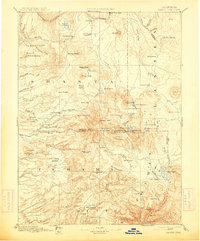
1894 Map of Lassen Peak
USGS Topo · Published 1914About this map
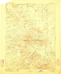
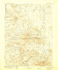
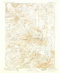
Lassen Peak dominates the center of this reconnaissance study, serving as the high point for a landscape defined by volcanic peaks and early California industry. Surveyed in the 1880s, the map illustrates the rugged intersection of the Shasta, Tehama, Lassen, Plumas, and Butte county lines. The transition from the timber-rich highlands to the settled valleys is evident through the presence of numerous specialized facilities like the Eureka Mill, Belle Mill, and a Saw Mill near Butte Meadows. Small mountain communities such as Hat Creek (Cassel PO) and Prattville are linked by established passes like Noble Pass. The drainage network is meticulously detailed, tracing the headwaters of the Pit River and the complex forks of Battle Creek, while landmarks like the Cinder Cone and Lake Bidwell mark the volcanic terrain to the north and east of the main peak.
Find a feature on this map
121 named features on this map. Tap any name to fly to it.
Don’t see what you’re looking for? This feature index may not catch every label — zoom into the map to look around manually.
Map Details
Editions of this 1894 Lassen Peak Map
8 editions found

Other maps of this area

1886 · Alturas
USGS Topo · 1:250,000

1886 · Honey Lake
USGS Topo · 1:250,000

1886 · Lassen Peak
USGS Topo · 1:250,000

1886 · Modoc Lava Bed
USGS Topo · 1:250,000

1886 · Shasta
USGS Topo · 1:250,000

1888 · Bidwell Bar
USGS Topo · 1:125,000

1890 · Red Bluff
USGS Topo · 1:250,000

1891 · Bidwell Bar
USGS Topo · 1:125,000

1891 · Chico
USGS Topo · 1:125,000

1891 · Downieville
USGS Topo · 1:125,000