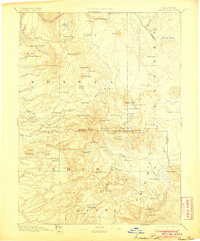
1894 Map of Lassen Peak
USGS Topo · Published 1905About this map
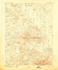
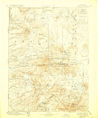
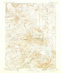
Lassen Peak dominates this high-elevation reconnaissance survey, serving as the focal point for a landscape defined by volcanic geology and early industrial outposts. The map documents a rugged era of resource extraction and transit, where mountain passes and trails provided the only reliable movement through the heavy timber and lava beds. Along the southern slopes, several isolated mill sites like Eureka Mill and Belle Mill suggest the early footprint of the lumber industry, while settlements such as Prattville and Lyonsville anchor the sparse human geography of the late nineteenth century. Geothermal activity is a prominent feature of the mapping effort, with careful labels for Bumpass Hot Springs, Soupan Springs, and Tartarus Lake near the volcanic core. To the north, the Pit River and Fall River Mills mark the boundary of more established valley settlements, connected to the high country by the historic Lassen Trail.
Find a feature on this map
120 named features on this map. Tap any name to fly to it.
Don’t see what you’re looking for? This feature index may not catch every label — zoom into the map to look around manually.
Map Details
Editions of this 1894 Lassen Peak Map
8 editions found

Other maps of this area

1886 · Alturas
USGS Topo · 1:250,000

1886 · Honey Lake
USGS Topo · 1:250,000

1886 · Lassen Peak
USGS Topo · 1:250,000

1886 · Modoc Lava Bed
USGS Topo · 1:250,000

1886 · Shasta
USGS Topo · 1:250,000

1888 · Bidwell Bar
USGS Topo · 1:125,000

1890 · Red Bluff
USGS Topo · 1:250,000

1891 · Bidwell Bar
USGS Topo · 1:125,000

1891 · Chico
USGS Topo · 1:125,000

1891 · Downieville
USGS Topo · 1:125,000