
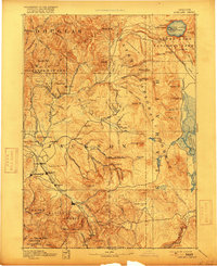
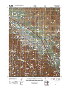
1897 Map of Ashland
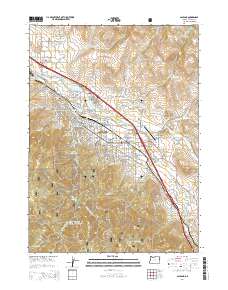
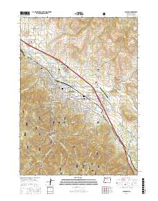
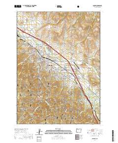
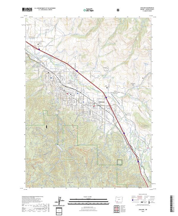
USGS Topo · Published 1937About this map
Jacksonville and the burgeoning settlements of the Rogue River Valley anchor this late-19th-century survey of Southern Oregon. The map documents a landscape in transition, where the Southern Pacific railroad corridor connects towns like Medford, Phoenix, Talent, and Ashland, while the surrounding mountains remain largely defined by the boundaries of the Umpqua National Forest and Rogue River National Forest.
Find a feature on this map
149 named features on this map. Tap any name to fly to it.
Don’t see what you’re looking for? This feature index may not catch every label — zoom into the map to look around manually.
Map Details
Editions of this 1897 Ashland Map
This is the sole edition of this map. No revisions or reprints were ever made.
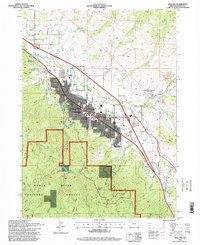
Historical Maps of Medford Through Time
11 maps found

1891 Ashland
Jackson County, OR
1893 Ashland
Jackson County, OR
1897 Ashland
Jackson County, OR
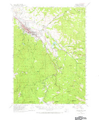
1954 Ashland
Jackson County, OR
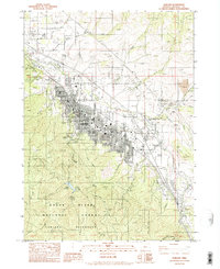
1983 Ashland
Jackson County, OR
1996 Ashland
Jackson County, OR
2011 Ashland
Jackson County, OR
2014 Ashland
Jackson County, OR
2017 Ashland
Jackson County, OR
2020 Ashland
Jackson County, OR
2024 Ashland
Jackson County, OR