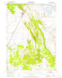
1950 Map of Dorris
USGS Topo · Published 1959About this map
Southern Pacific rail lines anchor the agricultural and transit corridor of Butte Valley in this mid-century survey of the California-Oregon borderlands. The landscape transitions from the reclaimed wetlands of Lower Klamath Lake to the timbered reaches of the Shasta National Forest. Settlement patterns are defined by small hubs like Dorris, Macdoel, and Mt Hebron, while family legacies are preserved through labels for the Porterfield Ranch and Lanch Ranch. Significant civic infrastructure of the era is evident, including the Butte Valley Airport and a Plant Quarantine Sta situated near the state line. For genealogists, the map identifies rural landmarks such as Oklahoma Sch, Picard Cem, and Lakeview Cem, offering a precise record of community centers before modern consolidation changed the rural character of Siskiyou County.
Find a feature on this map
46 named features on this map. Tap any name to fly to it.
Don’t see what you’re looking for? This feature index may not catch every label — zoom into the map to look around manually.
Map Details
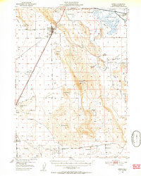
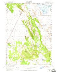
Editions of this 1950 Dorris Map
4 editions found

Other maps of this area

1886 · Modoc Lava Bed
USGS Topo · 1:250,000

1886 · Shasta
USGS Topo · 1:250,000

1889 · Klamath
USGS Topo · 1:250,000

1891 · Ashland
USGS Topo · 1:250,000

1892 · Modoc Lava-Bed
USGS Topo · 1:250,000

1893 · Ashland
USGS Topo · 1:250,000

1894 · Klamath
USGS Topo · 1:250,000

1894 · Shasta
USGS Topo · 1:250,000

1897 · Ashland
USGS Topo · 1:250,000

1934 · Macdoel
USGS Topo · 1:96,000